
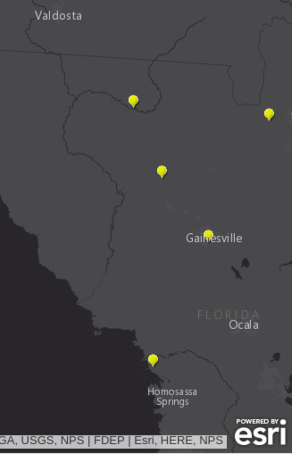
600×932 Suwannee River Basin, Maps, in FDEP now maps last 30 days of spills, by FDEP, for WWALS.net, 29 September 2018,
https://wwals.net/2018/09/29/fdep-now-maps-last-30-days-of-spills/
600×932 Suwannee River Basin, Maps, in FDEP now maps last 30 days of spills, by FDEP, for WWALS.net, 29 September 2018,
FDEP now maps last 30 days of spills
Short Link: