Tag Archives: Hotchkiss Crossing

WWALS outing called because of weather, but….

Gretchen posted:

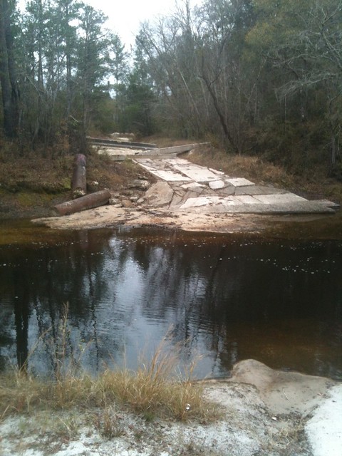
The “official” event is off because of the weather. However, if you want to see the location, gather at Gary Rampley’s, past Mullins Lane at 6974 Old State Road and park in his yard and then walk to the River (less than .2 miles) at 1:00. Meet others who like a cold, rainy outing.

Or, at 2:00pm meet at Let’s Eat Cafe (Exit 18 from I75—across from Austin’s Steak House at the Shell Station) to discuss strategies for keeping access to the Alapaha River in Lowndes County.

Our local hosts still want to meet up with interested folks and for those not up to braving the weather, we will be indoors at Let’s Eat (an excellent local place to meet and eat).

Blocked: Hotchkiss Landing closed by big blocks of concrete, October 2010

Why was a public road, Old State Road, blocked by concrete blocks from late 2010 through at least early 2012, right at Hotchkiss Landing on the Alapaha River in Lowndes County, Georgia?

According to two witnesses, this is what Old State Road at Hotchkiss Landing looked like shortly after the Lowndes County Commission decision of 26 October 2010 to keep the road open:

Seen from north side
Picture by Cactus Clyde on flickr, who wrote:
“Alapaha River a mile upstream pf the US84 bridge (on the Hotchkiss Road) east of Naylor, GA- river level 77.96′ at Statenville, GA on 12/11/11. No acces on the west side any longer- this was taken looking west.”

April Huntley says “It happened right after the decision to not close the road.” Chris Graham says this was “Few days after we won.” According to the date on that picture, the road was still blocked 11 December 2011.

Google Earth shows that same blockage for 14 January 2012 in imagery taken by NASA, and that’s also what the current google map shows:

Continue reading