
The actual boat ramp hasn’t been built yet. Lowndes County Engineering says they’re waiting for the Alapaha River level to go down again.
Right now it’s a straight drop.
Straight to the drop, 2018:05:16 11:20:49,, Boat Ramp Entrance 30.9257700, -83.0394900
Once the county finishes this project, they will hand over to the Valdosta-Lowndes County Parks & Recreation Authority (VLPRA), which has said it will probably build a kiosk there. Lowndes County Public Works will make and plant road signs on US 84 pointing at the Naylor Boat Ramp. Then it will be good to go on the Alapaha River Water Trail (ARWT). You can still help to pay for the rest of the ARWT road signs.
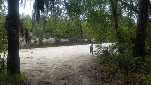
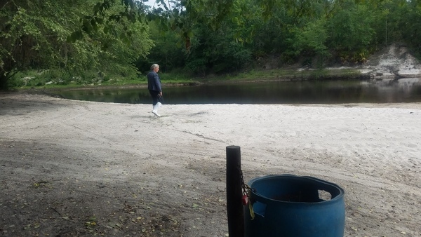
Meanwhile, you can drive or walk in to see the beach with the trash can Gretchen asked for, with plenty good kayak and canoe access to the Alapaha River, the US 84 Bridge and the CSX Railroad bridge, some trash that didn’t get into the can, the cleared parking area, and the Lola WMA tract with a good river view.
See also the Google map.
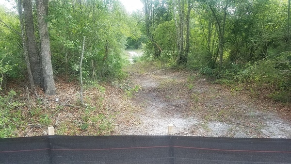
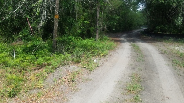
Not driving down that in a Prius, 2018:05:16 11:06:16,, Entrance 30.9241400, -83.0383300


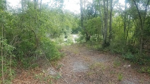
Park and walk, 2018:05:16 11:07:31,, Entrance 30.9241933, -83.0384703
With trash can Gretchen asked for, 2018:05:16 11:10:37,, Beach 30.9251200, -83.0385200
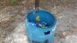
Trash can is working, 2018:05:16 11:10:57,, Beach 30.9251300, -83.0383600

Trash can seen from river, 2018:05:16 11:12:05,, Beach 30.9252100, -83.0381500
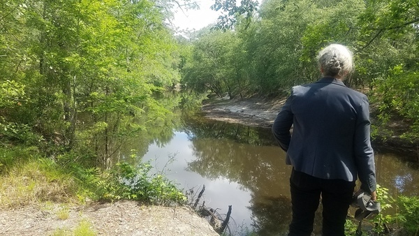
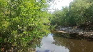
Upstream, 2018:05:16 11:11:04,, Alapaha River 30.9253400, -83.0384200

Upstream from waters edge, 2018:05:16 11:11:45,, Alapaha River 30.9254900, -83.0384600

Downstream, 2018:05:16 11:11:25,, Alapaha River 30.9250500, -83.0380200

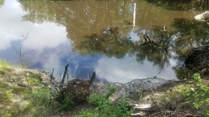
Was higher recently, 2018:05:16 11:12:09,, Alapaha River 30.9253700, -83.0383000
US 84 Bridge, 2018:05:16 11:11:28,, Bridges 30.9244800, -83.0374400
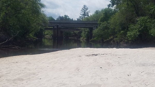

US 84 Bridge and CSX RR Bridge, 2018:05:16 11:11:31,, Bridges 30.9240700, -83.0368700
Uphill and upstream, 2018:05:16 11:12:44,, Trash 30.9252400, -83.0386500

At drive, 2018:05:16 11:13:25,, Trash 30.9252400, -83.0391600

In woods, 2018:05:16 11:13:27,, Trash 30.9253600, -83.0392800
From beach entrance, 2018:05:16 11:13:34,, Parking 30.9251600, -83.0392800
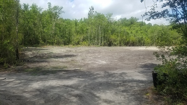

Beside drive, 2018:05:16 11:13:46,, Parking 30.9253400, -83.0395100
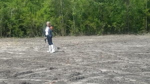
Skeet shooting, 2018:05:16 11:21:37,, Parking 30.9254200, -83.0400600
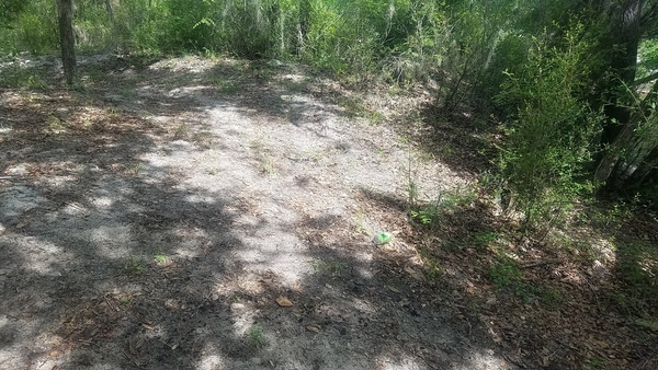
Boundary, WMA, 2018:05:16 11:08:24,, Lola Tract WMA 30.9259100, -83.0399000
The sign at the edge of the Lola Tract EMA didn’t say do not enter, so we entered.

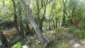
Inwards, 2018:05:16 11:17:16,, Lola Tract WMA 30.9267100, -83.0404400
Upstream wire, 2018:05:16 11:17:23,, River in WMA 30.9268800, -83.0403500
Downwards wire, 2018:05:16 11:17:30,, River in WMA 30.9268000, -83.0403000

Across, 2018:05:16 11:17:38,, River in WMA 30.9268700, -83.0402800
Downstream trail, 2018:05:16 11:17:37,, River in WMA 30.9268600, -83.0402300
Upstream curve, 2018:05:16 11:17:40,, River in WMA 30.9267849, -83.0403718
-jsq, John S. Quarterman, Suwannee RIVERKEEPER®
You can join this fun and work by becoming a WWALS member today!
Google Map
Follow this link for the interactive google map, or it’s also embedded below.
Short Link: