
You’ve seen Gretchen’s pictures;
here are some more,
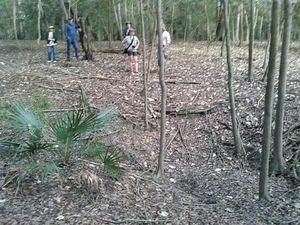
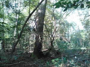
including on land along the pipeline path through sinkholes,
 of the informal outing from Suwannee River Campsites to Suwannee River State Park
past where Sabal Trail wants to gouge its 36-inch fracked methane pipeline under the Suwannee River.
This was Sunday 15 November 2015, days before the Tuesday the
Suwannee County, FL Commissioners unanimously voted a resolution to move Sabal Trail’s compressor station.
Suwannee BOCC
filed that resolution with FERC,
and has already
decided to vote again
December 15th on a resolution
to move the pipeline completely out of Suwannee County and off the Suwannee River.
of the informal outing from Suwannee River Campsites to Suwannee River State Park
past where Sabal Trail wants to gouge its 36-inch fracked methane pipeline under the Suwannee River.
This was Sunday 15 November 2015, days before the Tuesday the
Suwannee County, FL Commissioners unanimously voted a resolution to move Sabal Trail’s compressor station.
Suwannee BOCC
filed that resolution with FERC,
and has already
decided to vote again
December 15th on a resolution
to move the pipeline completely out of Suwannee County and off the Suwannee River.
Meanwhile, Chris Mericle just asked FERC why the huge discrepency between what is in plain sight if you go walk the proposed pipeline path vs. what Sabal Trai told FERC?
These pictures were taken in Suwannee River State Park on the Hamilton County side of the Suwannee River. Click on any picture to see a bigger one.
-jsq
You can join this fun and work by becoming a WWALS member today!
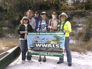
WWALS banner 30.4073257, -83.1565399
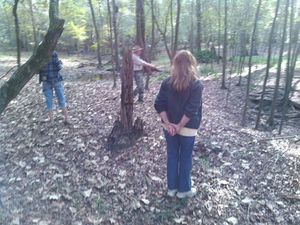
Climbing 30.4073677, -83.1566696

Pipeline path 30.4072914, -83.1569061
Swales and sinkholes 30.4072838, -83.1569443
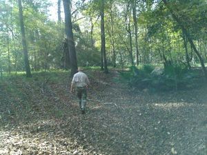
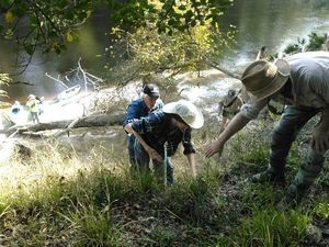
Chris leading 30.4073524, -83.1575317
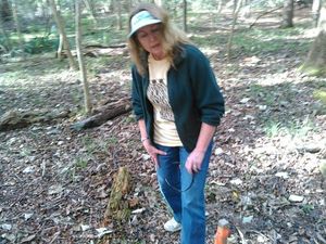
Deanna 30.4073009, -83.1576080
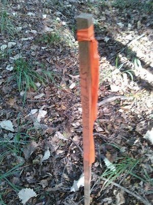
STT stake 30.4076290, -83.1585922
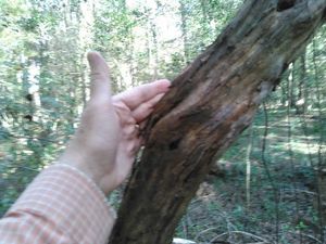
Grape vine bigger than my hand 30.4075298, -83.1587829
Trees and vines 30.4076195, -83.1589966
Sinkhole 30.4080620, -83.1608047
Deeper sinkhole 30.4080677, -83.1607895

Palmetto 30.4082260, -83.1606750
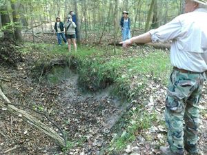
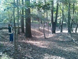
Chris pointing to tree that fell in sinkhole 30.4080314, -83.1609955
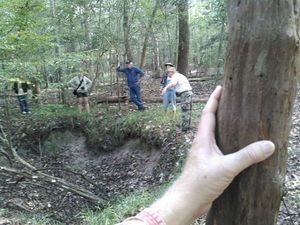
Grapevine, sinkhole, Chris pointing down 30.4080829, -83.1612244
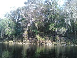
Far side of the river
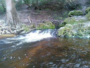
Spring
Short Link:
Pingback: Who, beside the public,is checking the data Sabal Trail is providing? –Chris Mericle to FERC | WWALS Watershed Coalition