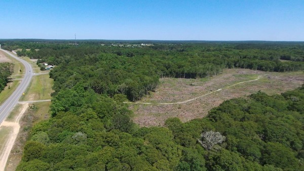
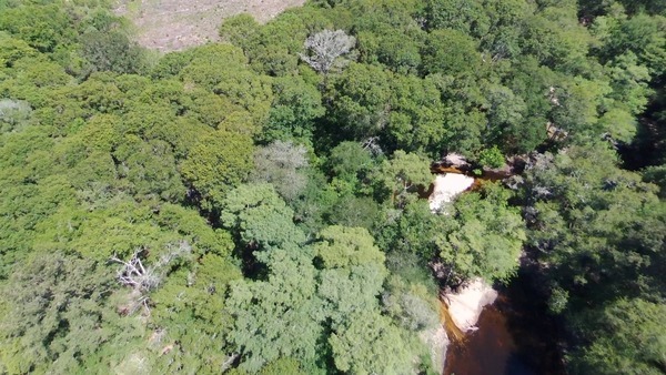
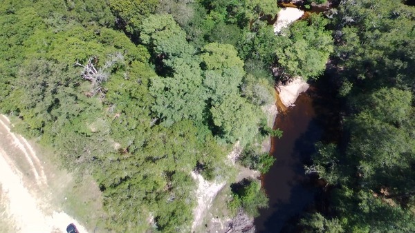
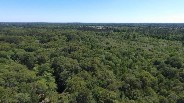
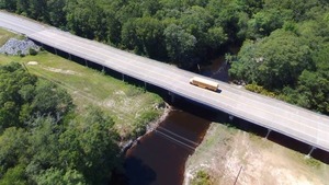
A clearcut near the Withlacoochee River at GA 122 in Lowndes County, Georgia, led to some visual observations.
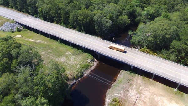
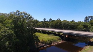
School bus westbound on Hagan Bridge over the Withlacoochee River.
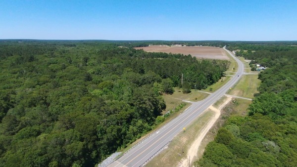
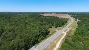
The clearcut starts east of the river and west of Hambrick Road. Here you can see the entrance to it from GA 122:
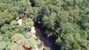
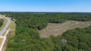
The clearcut narrows as it goes south between the river and the little branch that crosses Hambrick Road to join the river below it.
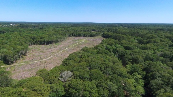
Clearcut south of GA 122 between Onice Davis Branch and the Withlacoochee River.
I’ve never heard a name for that little creek that starts south of GA 122 across from the Georgia Sheriffs’ Boys Ranch, on land formerly owned by the late Onice Davis Coppage, so I’m going to dub it Onice Davis Branch, in honor of my fourth grade schoolteacher.
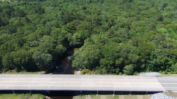
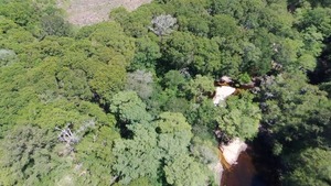
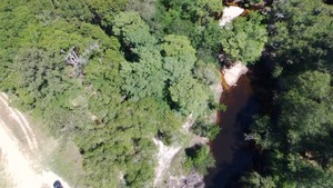
Apparently the closest the clearcut gets to the river is near GA 122:
Here you can see how close that is to the GA 122 right of way.
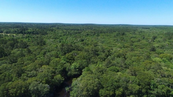
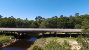
Looking south down the river we can see Skipper Bridge Road receding into the distance. We probably cannot see as far as Twin Creek.
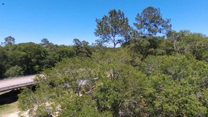
Looking north, we can see hardwoods across the bridge indicating Hutchinson Mill Creek coming in from the left.
Looking farther north, more hardwoods indicate Lindsey Branch at the border of Lowndes County with Cook County, and Berrien County is east across the river.
And looking east up GA 122 we can see the Georgia Sheriffs’ Boys Ranch.
I took these pictures at about 31.013313, -83.301574 on May 17, 2017. At the Withlacoochee River USGS Skipper Bridge Gage, the water level was about 1.34 feet or 121.59 feet NAVD (above sea level). At that level you probably could paddle from Hagan Bridge Landing the approximately 5.7 river miles down to Franklinville Landing at Tyler Bridge on the Withlacoochee River Water Trail, but I’d bet you’d be dragging over some deadfalls and really shallow spots on the way.
-jsq, John S. Quarterman, Suwannee RIVERKEEPER®
You can join this fun and work by becoming a WWALS member today!
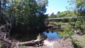
East bank, Withlacoochee River
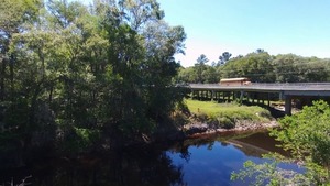
School bus heading east on GA 122
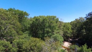
Downstream, Withlacoochee River
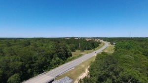
East along GA 122 to Boys Ranch
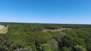
Car turning on Hambrick Road, cell tower, clearcut
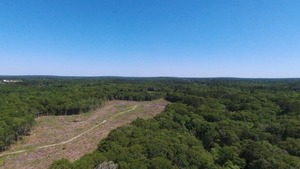
Clearcut between creek and Withlacoochee River
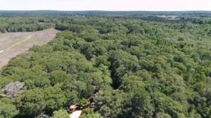
Hardwoods on riverbank due south
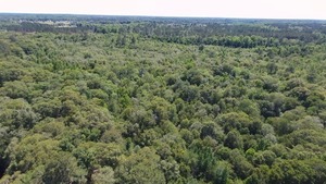
SSE across Withlacoochee River
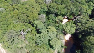
GA 122 RoW and Withlacoochee River downstream
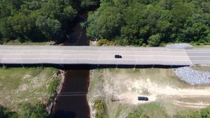
Parking, GA 122 @ Withlacoochee River
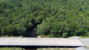
Hutchinson Mill Creek confluence N of GA 122 bridge
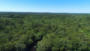
Upstream across Lindsey Branch to Cook County (Berrien on right)
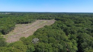
Clearcut and Withlacoochee River
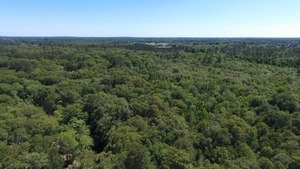
Across Withlacoochee River and Skipper Bridge Road
Short Link:

