
Nitrates, agriculture, and silviculture were already in, and sewage, phosphate mines, and the Floridan Aquifer got added yesterday afternoon in Live Oak in public comments on updates to SRWMD’s SWIM Plans, plus new SRWMD E.D. Hugh Thomas spoke.

Thanks to presenter Tom Singleton, the slides presented are on the WWALS website. Here are a few notes and pictures.
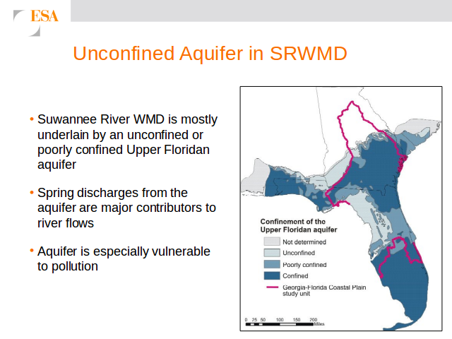
Floridan Aquifer
Merrillee Malwitz-Jipson of Sierra Club Florida noted that while there was a nice map of the Floridan Aquifer in the slides, there was nothing on the handouts about the aquifer. They wrote that down; we’ll see what they do with it.
Sewage from Georgia and from Florida
I asked whether anyone in Florida had detected the September sewage spills from Tifton, Quitman, Lowndes County, and Valdosta. Answer: no, and difficult, because quality monitoring is currently only reactive, and there’s a short few-hour time to get the water to where it can be analyzed for E. coli or fecal coliform.
Merrillee suggested several places in Florida to monitor: past Pilgrim’s Pride, Santa Fe River @ US 129, Downstream from Santa Fe Confluence, Dowling Park retirement, Downstream from the dairies. One of the presenters still said they would need specific places suggested. I said Merrillee just suggested half a dozen.

Chris Mericle of the North Florida Working Group of the Suwannee-St. Johns Group of Sierra Club Florida noted that Hamilton County had monitored wells and found E. coli after Valdosta’s spills in January.
Afterwards, although I had asked if anyone in Florida had detected the Georgia sewage spills, at least one attendee misinterpreted that as a request for Florida to monitor in Georgia, so I said it again: monitoring is needed in Florida downstream on the Withlacoochee River from the state line. The question for SRWMD and its SWIM plans is not whether Valdosta or anyone else spilled (I’ve already determined most of that, and Georgia needs to do a better job of reporting), the question is what effect do those spills have downstream in Florida, even if they are not reported by Georgia.
It seems to me that if Hamilton County can do it, SRWMD can do it.
Phosphate Mines
I pointed out that in September the only spills reported by FDEP in its Pollution Notices for the Suwannee River Basin (other than a couple of vehicle accidents) were from a mining operation (Chemours Company) in Baker and Bradford Counties.
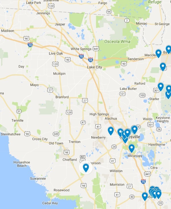
Follow this link for the interactive google map.
Which made me wonder what other mining spills were there that weren’t reported. One of the presenters said they did monitor Swift Creek downstream of the PCS phosphate mine in Hamilton County.
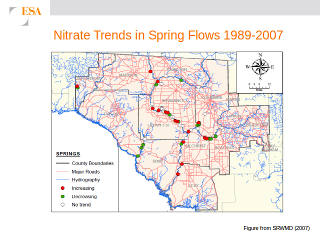
Nitrate Trends
That’s a very informative slide about Nitrate Trends in River Flows 1989-2007 but is there any more recent data, I asked? Answer: not in a map like that, but FDEP has data online up to this year. I haven’t yet discovered quite where on FDEP’s web site.
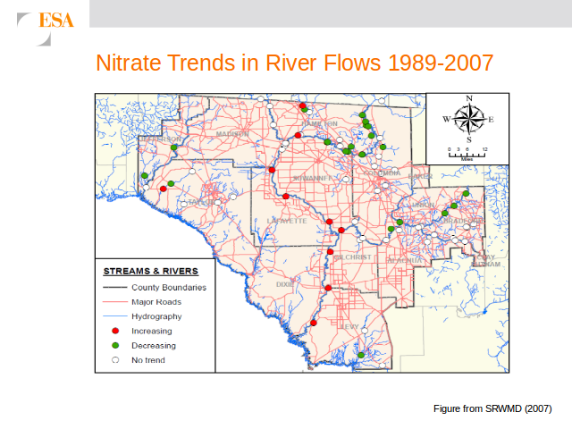
Ditto Nitrate Trends in Spring Flows 1989-2007.
Meanwhile we heard that the SRWMD BMAPs presented back in April in the same room have still not been finalized.
Agriculture and Silviculture
Right along the Suwannee River and east of it (until you get to the swamps), there’s a lot of agriculture, making it look like the Nile.
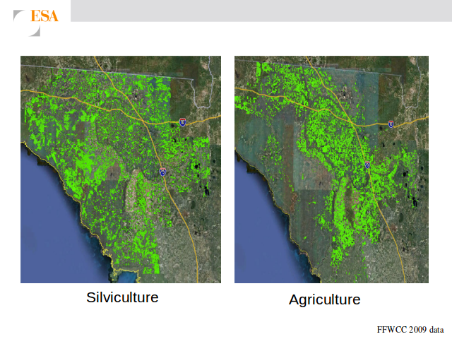
West of the Suwannee River it’s almost all silviculture, more or less matching where nobody lives.
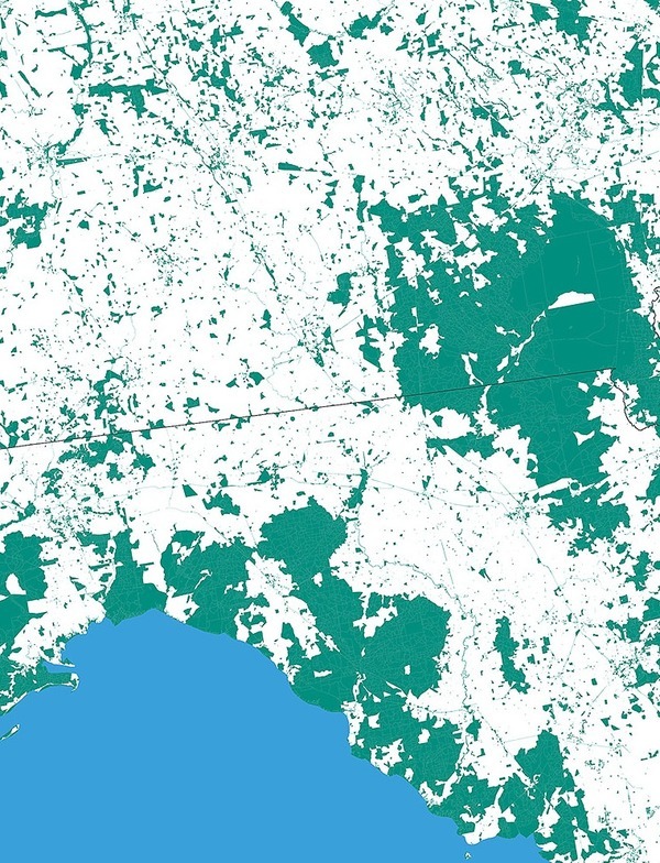
Nobody Lives Here:
Unpopulated U.S. Census Blocks,
screenshot by jsq from interactive map by
mapsbynik.
One of the Natural Systems Issues is conversion of silviculture to more intense agicultural uses, plus habitat fragmentation and others.
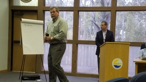
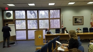
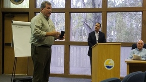
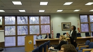
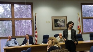
Hugh Thomas, SRWMD E.D., Suwannee River Basin Open Comments
New SRWMD Executive Director Hugh Thomas spoke, mostly about more efficiency in high-tech precision agriculture.

Why SWIM Plans
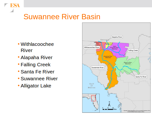
These SWIM Plans are required by the Florida Surface Water Improvement and Management (SWIM) Act of 1987, 373.451–373.4595, F.S. Each Florida Water Management District has to prepare SWIM plans. SRWMD seems to be about nine months behind the schedule in the slides. Since SRWMD has various rivers not in the same basin, it used to have six SWIM plans, and is now merging them into two, for
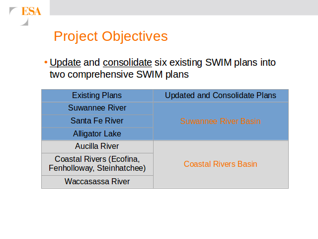
- Suwannee River Basin: Suwannee River, Alapaha River, Withlacoochee River, Santa Fe River, and Ichetucknee River (plus Falling Creek and Alligator Lake)
- Coastal Rivers Basin: Aucilla River, Wacissa River, Econfina River, Steinhatchee River, Fenholloway River, Waccasassa River
The current draft plans are linked into SRWMD’s SWIM Plan Update web page. Many of the issues and solutions are common, but there are also pronounced differences.
They were especially looking for projects, under the welcome rubrick What’s Good for the Environment is Also Good for the Economy.
The same presentation will be given again today, with a more Coastal group of participants: “in Cross City at the Dixie County Board of County Commissioners Meeting Room at the Dixie County Courthouse, 214 NW Highway 351 on October 4, 2017, from 1:30 p.m. to 4:30 p.m.”
-jsq, John S. Quarterman, Suwannee RIVERKEEPER®
You can join this fun and work by becoming a WWALS member today!
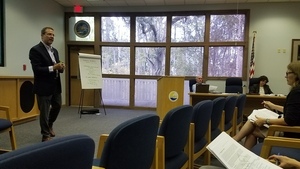
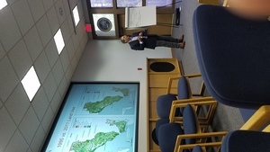
Presenter, Suwannee River Basin Open Comments
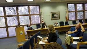
Panel, Suwannee River Basin Open Comments
Writing, Suwannee River Basin Open Comments
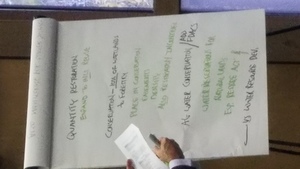
Quantity Restoration, Conservation, Suwannee River Basin Open Comments
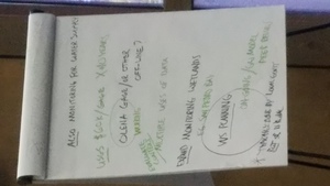
Also Monitoring for Water Supply, Suwannee River Basin Open Comments
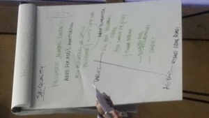
SR Quality, Phosphate, Targets, Suwannee River Basin Open Comments

Hugh Thomas, SRWMD E.D., Suwannee River Basin Open Comments
Agriculture –Hugh Thomas, SRWMD E.D., Suwannee River Basin Open Comments

SR Natural, Oyster, Suwannee River Basin Open Comments
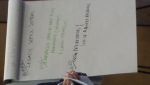
Replace legacy septic systems, FWC, Pub Ed, Suwannee River Basin Open Comments
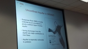
Unconfined Aquifer in SRWMD, Coastal Rivers Basin Presentation
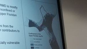
Aquifer map closeup, Coastal Rivers Basin Presentation
Presenter 1, Coastal Rivers Basin Presentation
Presenter 2, Coastal Rivers Basin Presentation
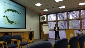
Seagrasses Presenter, Coastal Rivers Basin Presentation
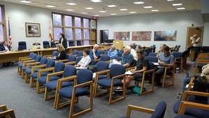
Audience, Coastal Rivers Basin Presentation
Audience with back of Hugh Thomas, Coastal Rivers Basin Presentation
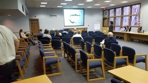
Land Use Presenter, Coastal Rivers Basin Presentation

Coastal Quantity, Coastal Rivers Basin Open Comments
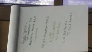
Remote Sensing, Restoration, Conservation, Coastal Rivers Basin Open Comments
Short Link:
Pingback: Barber Pool, early 20th century | WWALS Watershed Coalition (Suwannee RIVERKEEPER®)