Update 2022-04-13: Floating trash in cypress swamp below VLPRA HQ in Valdosta 2022-04-13.
As previously mentioned, there are two acres of trash on land owned by the City of Valdosta, just south of VLPRA headquarters, at the corner of Barack Obama Blvd. and Ricardo Street, Behind the Pepsi Adopt-A-Spot sign, near the top of One Mile Branch.
In Valdosta’s own Seeclickfix map, you can see the site just across Barack Obama Blvd. from a drainage canal that runs into One Mile Branch just upstream from Vallotton Park.
![[Map: Seeclickfix VLPRA HQ, One Mile Branch, Vallotton Park https://seeclickfix.com/issues/12055148]](https://www.wwals.net/pictures/2022-04-11--vlpra-trash/seeclickfix-vlpra-hq-one-mile-branch-vallotton-park.jpg)
Map: Seeclickfix VLPRA HQ, One Mile Branch, Vallotton Park
https://seeclickfix.com/issues/12055148
This water quality and public health problem was first reported through Valdosta’s Click ‘n’ Fix smartphone app on March 9, 2022, it got some acknowledgement after another report on March 21st, but no cleanup seems to have happened.
Some of the city officials named in these comments are scheduled to be at a meeting with WWALS this afternoon. Maybe they’re waiting on that meeting to schedule a cleanup. We shall see.
Meanwhile, notice the variety of commenters who do not work for the city. First, all the comments from the March 21st report: Continue reading
![[Ricardo St., Obama Ave, VLPRA HQ, One Mile Branch]](https://www.wwals.net/pictures/2022-03-09--vlpra-trash/many.jpg)
![[#1: 6 colonies]](https://www.wwals.net/pictures/2019-06-24--one-mile-branch-testing/downstream0625191636d.jpg)
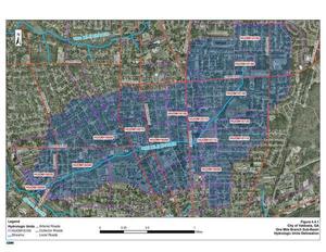
![[Spill and testing locations]](https://www.wwals.net/pictures/2019-06-24--one-mile-branch-testing/map-narrow.jpg)