
Halfway between Quitman and Valdosta, the Withlacoochee River
 forms the border between
Brooks and Lowndes Counties, Georgia.
forms the border between
Brooks and Lowndes Counties, Georgia.
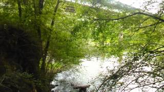
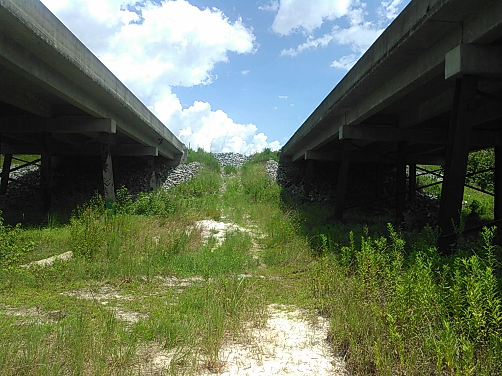
Parking on the median on the east, Lowndes County, side, you can climb down the highway rocks and down a creek bed to the river.

The riverbed is rather rocky with native limestone.


There was some water in the Withlacoochee today. According to the US 84 gage on the other side of that bridge, the level was 2.05 feet (85.55 NAVD88) around mid-day.

This is one of the access points on the Withlacoochee and Little River Water Trail WWALS is developing.

And only a few hundred feet upstream from here is where Spectra Energy from Houston, Texas, plans to gouge its Sabal Trail fracked methane pipeline under the river, the road, and the railroad.
Here’s a video:
Withlacoochee River at US 84
Video by John S. Quarterman for WWALS Watershed Coalition (WWALS),
Lowndes County, Georgia.
-jsq
You can join this fun and work by becoming a WWALS member today!
Short Link:
Pingback: Withlacoochee River @ US 84 - WWALS Watershed Coalition
Pingback: Withlacoochee River and Sabal Trail @ US 84 -WWALS Field Trip 2015-08-28 - WWALS Watershed Coalition