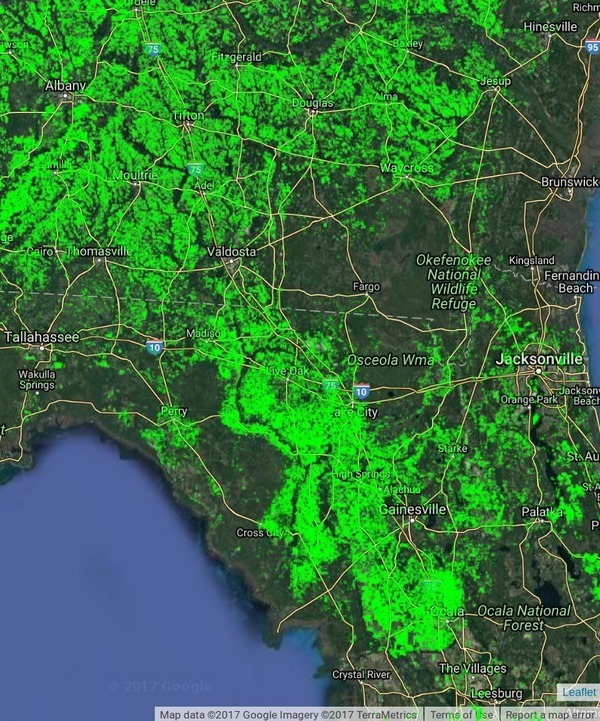
You can see on these maps that the Suwannee River Basin is massively agricultural, except where it’s forestry or swamp or other wetlands. Thus it’s no wonder that most of the nitrate runoff problem here is due to agriculture, as shown in the Basin Management Action Plans (BMAPs).
WWALS Science Committee Chair Tom Potter points to this Global Croplands map to illustrate the BMAP issues. The question remains of whether agricultural best management practices as advocated in the recent BMAP meetings will be sufficient to deal with the problem, considering they haven’t decreased it in the past decade.
Global Croplands About: Continue reading

