Announcement
WWALS Quarterly Board Meeting
2 to 4 PM, Sunday, 12 January 2020
South Georgia Regional Library, 2906 Julia Dr, Valdosta, GA 31602
Dial-in Number: (712) 770-5505
Meeting ID: 855-676
facebook event
Outings in Santa Fe River subbasin, on the Suwannee, and at Banks Lake, Light Parade, Gear Swap, BIG Little River Paddle Race, finances, budget, membership, water quality monitoring, water trails, Suwannee Riverkeeper Songwriting Contest, WWALS Boomerang paddle race, festivals, projects and programs, pipelines, LNG export, titanium mines, phosphate mines, Bill of Rights for Nature, and more.
![[WWALS Logo]](https://www.wwals.net/pictures/2019-11-21--wwals-logo-santa-fe/WWALS-Logo-Reworded-0001.jpg)
WWALS Logo. Yes, S now stands for both Santa Fe and Suwannee, like A stands for both Alapaha and Alapahoochee, and L stands for both Little Rivers (one flowing into the Withlacoochee, the other into the Suwannee).
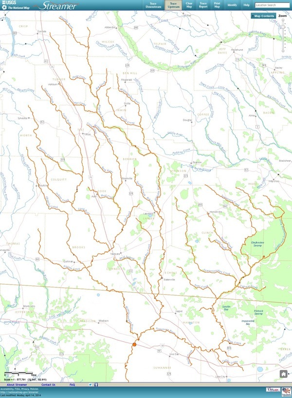
Our many rivers include four (Alapaha, Withlacoochee, Santa Fe, and Suwannee Rivers), six (plus New and Little Rivers flowing into the Withlacoochee), ten (plus Willacoochee, Alapahoochee, and Little Alapaha Rivers flowing into the Alapaha, and Dead River flowing out of it), thirteen (Black River, Little River, and Gopher River flowing into the Suwannee River), or fifteen (Ichetucknee and New River flowing into the Santa Fe River). Plus many creeks, swamps, lakes, and ponds, including our entire watersheds. wwals.net/maps/
Invited to attend:
WWALS members, especially committee members, and the general public.
All WWALS Board Members are expected to attend in person or by telephone.
The more done on the board list, the less time we have to spend in this meeting.
See the WWALS website for board members and committees.
The agenda will be available later.
-jsq, John S. Quarterman, Suwannee RIVERKEEPER®
You can join this fun and work by becoming a WWALS member today!


