Maybe you’d like to show up
2PM tomorrow, Tuesday, January 15, 2019, and encourage the Marion County, FL, BOCC
to
adopt into the county’s Comprehensive Plan a
Resolution they passed June 5, 2018,
which would help head off future road boondoggles.
The resolution
opposes any Coastal Connector highway routes through Marion County.
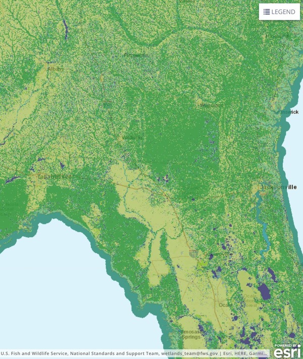
![[DRAFT Areas of Opportunity, 4/6/2016]](https://www.wwals.net/pictures/2019-01-15--marion-co-fl-ear-amendment/06052018-MCBOCC-RESOLUTION-Rejecting-Alternative-Corridors-Proposed-for-Coastal-Connector-0005.jpg)
DRAFT Areas of Opportunity, 4/6/2016
When:
2PM, Tuesday, January 14, 2019
Where:
McPherson Governmental Complex,
601 SE 25th Ave., Ocala, FL 34471
What:
Item 14.B.4. on the
agenda is adopting the resolution
into the county’s Comprehensive Plan.
Event:
facebook
As juries recently decided about easement for the Sabal Trail fracked methane pipeline (which Marion County also opposed),
“full compensation” is not the same as “just compensation” for road rights of way, either:
J.
It must be recognized that the issue is not simply the payment of
“full compensation” to owners of the most valuable
equine and agricultural properties in Marion County. Rather, it must
be recognized that as a result of any of these corridors, the
required right-of-way acquisitions and resulting construction of the
proposed facility will not only damage, but may destroy many of
these important operations in Marion County, and consequently,
negatively impact the economic vitality and long-range growth of
Marion County; and
Gouging pipelines or highways through farm or horse land or under rivers
destroys what they traverse.
No amount of compensation would be sufficient.
If you’re nearby, this would be good opportunity to stand up for
water, environment, and property rights.
WWALS member Janet Barrow sent them this letter.
EAR is Continue reading →

![[Withlacoochee River labeled Suwanee R. in 1823 Irwin and 1834 Lowndes County maps; current WWALS Withlacoochee and Little River Water Trail map]](https://www.wwals.net/pictures/1889-01-29--troupville/many.jpg)
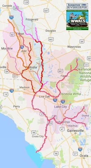
![[Rivers and Districts]](https://www.wwals.net/pictures/2021-03-05--how-big-suwannee-basin/many.jpg)
![[Suwannee Riverkeeper John S. Quarterman, nearby resident Debra Tann, VDT reporter Thomas Lynn and photographer Derrek Vaughn, at Beatty Branch, January 7, 2019. Photo: John S. Quarterman for WWALS.]](https://www.wwals.net/pictures/2019-01-18--moody-pfas-vdt/20190107_163624.jpg)