Last year at Alapaha Station Celebration we met a lot of people ad had a good time. We’ll be back there this Saturday.


Last year at Alapaha Station Celebration we met a lot of people ad had a good time. We’ll be back there this Saturday.
Update 2018-01-19: Rescheduled again, due to low water, to become a hike to the Dead River Sink, still on January 27, 2018.
Update 2018-01-01: Rescheduled to January 27, 2018! Follow this link for the revised outing details.
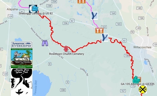
A long paddle to start the Alapaha Quest! Along the way we will pass Rowetown Church and the Willacoochee River Confluence as we paddle down the wild and exotic Alapaha River in the south Georgia winter.
When: 7AM Saturday, January 6, 2018
Put In: Sheboggy Landing at US 82, east of Alapaha, Berrien County, Georgia.
Take Out: GA 135 Atkinson near Willacoochee, GA in Atkinson County.
Price: This outing is $10.00 for nonmembers, and free to WWALS members. We recommend you support the work of WWALS by becoming a WWALS member today!
Bring: Continue reading
Update 2018-01-19: First leg rescheduled again, due to low water, to become a hike to the Dead River Sink, still on January 27, 2018.
Update 2018-01-01: The first leg of the Alapaha Quest is rescheduled to January 27, 2018! Follow this link for the revised details of that outing.
Join us to explore the entire Alapaha River Water Trail on the 2018 Alapaha Quest!
The Alapaha River is described as unspoiled, wild, and scenic. Add these remoteness features, some the dark reddish-brown waters with occasional shoals and it becomes a gem to paddle.

What is the Alapaha Quest?
Continue reading
The Lowndes County parcel in the new Wildlife Management Area off of US 84 does not go as far north as the Lanier County one, and does not go all the way to the Alapaha River at US 84:
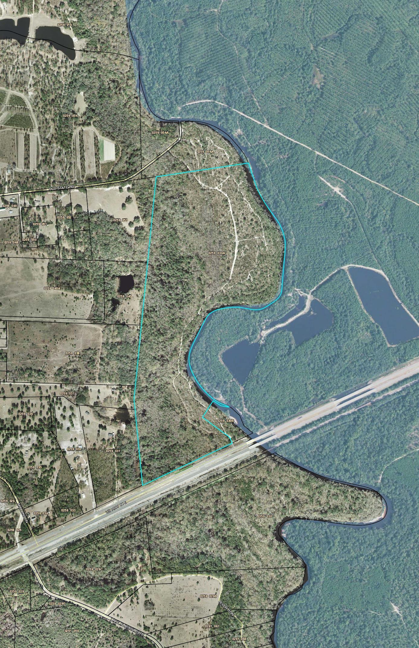
Lowndes County parcel 0259 030A from US 84 almost to Old State Road
This is because some years ago Continue reading
Christopher Graham reports: “These signs are everywhere on Hotchkiss Road on the Lanier side of the Alapaha River.”

Boundary Wildlife Management Area; Photo: Christopher Graham, 29 July 2017
Please note this is not the Alapaha River Wildlife Management Area off of US 319 between Tifton and Ocilla. That Alapaha River WMA is way upstream of the top of the Alapaha River Water Trail (ARWT), although it is on the ARWT map.
These new WMA signs are in the middle of the ARWT on this 266 acres in Lanier County parcel Continue reading
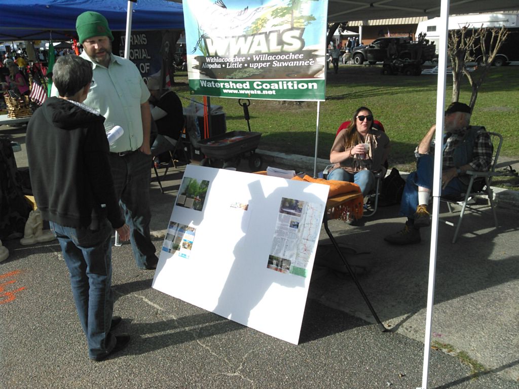
WWALS be talking about how Alapaha RIver Water Trail, which starts at Sheboggy Landing on US 82 just east of Alapaha, GA, at the Alapaha Station Celebration. This the third year for WWALS at this festival located in the upper middle section of our watershed near the Willacoochee and Alapaha Rivers.
When: 9AM-5PM Saturday November 12th 2016
Where: 245 NE Railroad St, Alapaha, GA 31622
Some people wonder: what’s the station? It’s Continue reading