Update 2017-09-21: Yes, I reported it to GA-EPD, et al. (PDF), and here are facebook photos of most of the images below.
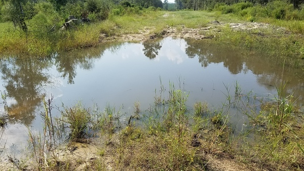
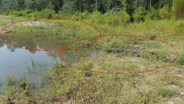
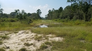
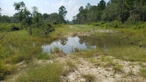
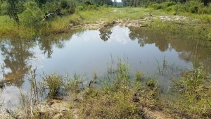
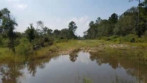
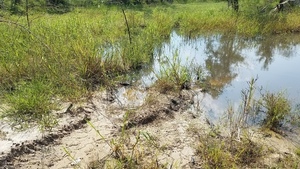
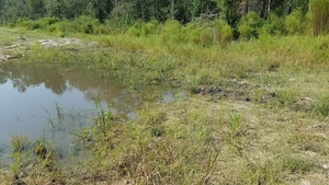
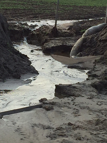
How close to exposed is Sabal Trail’s pipe? This sinkhole is at least a foot deep, maybe two or more, and Sabal Trail only buried their pipe three feet deep, despite requests by Brooks, Colquitt, and Lowndes Counties to bury it deeper.
N of sinkhole, Sinkhole
Is that fill material exposed on the north edge of the sinkhole? Was this previously a sinkhole they filled and now it’s active again?
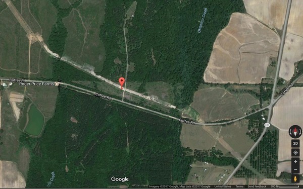
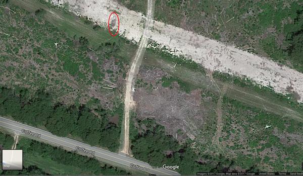
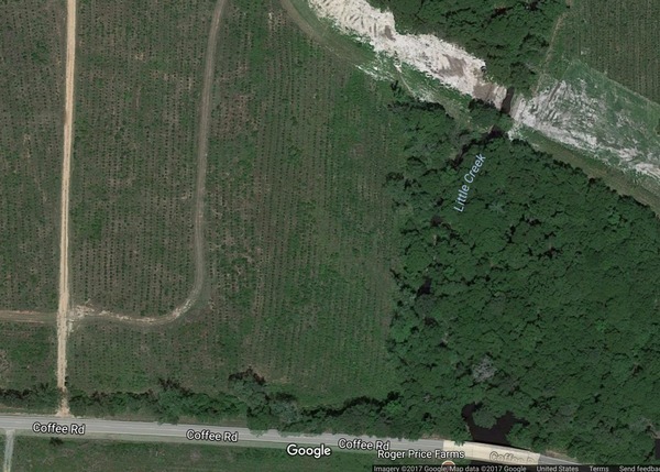
Off of Coffee Road west of GA 333, Google maps
I took these pictures Tuesday, September 19, 2017. This sinkhole is at 30.918631, -83.590638, between Little Creek and Okapilco Creek, between Morven and Barwick on Coffee Road, about 3500 feet west of GA 333, aka Moultrie Road, north of Quitman, Brooks County, Georgia.
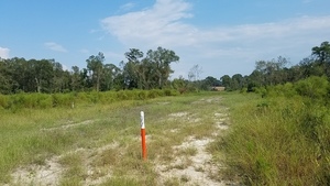
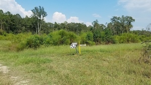
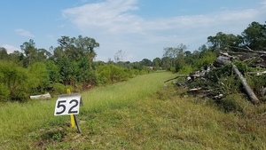
Looking east down Sabal Trail, Sabal Trail
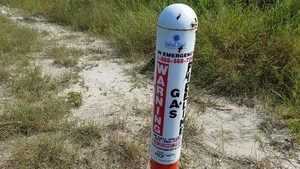
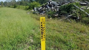
Sabal Trail In Emergency Call, Sabal Trail
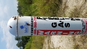
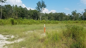
Sabal Trail Portrait, Sabal Trail
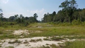
Looking west up Sabal Trail, Sinkhole
Other sinkholes?
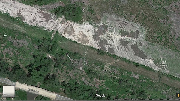
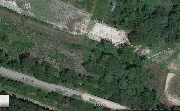
I could only see this one sinkhole from where I was standing on an unmarked access road, but Google maps seems to show it and more and bigger sinkholes nearby.
Sinkhole on Google maps
More sinkholes?, Google maps
Sinkholes at Okapilco Creek?, Google maps
Sinkholes at Little Creek?, Google maps
Aerials 2016-10-22
Here’s what this same section looked like from the air October 22, 2017, on the same flight on which I discovered Sabal Trail’s frac-out of drilling mud into the Withlacoochee River.
Okapilco Creek, Coffee Road, 30.9182630, -83.5925410
Sabal Trail alignment map
For orientation, here is Sabal Trail alignment map 1657-PL-DG-70197-221.

Sabal Trail alignment map, courtesy of Lowndes Area Knowledge Exchange (LAKE).
Closeup, Okapilco Creek, Coffee Road, 30.9192720, -83.5954390
It’s hard to be sure with the resolution available, but it looks like the north side of the pipeline right of way was already wet there then. Which would match with what look like fill materials now exposed again towards the north edge of the right of way.
Georgia EPD 2017-12-06
This is the same Okapilco Creek crossing at Coffee Road for which WWALS filed a complaint with GA-EPD 2016-12-06. It turned out that with Georgia’s “wrested vegetation” version of waterway frontage, Sabal Trail was technically within their easement.
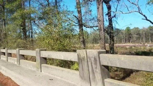
Red pipe, Okapilco Creek Middle Bridge, Coffee Road, Sabal Trail, 2017-01-23 30.9174160, -83.5892520
Flooding 2017-01-23
About seven miles upstream of here Okapilco Creek was flooded half a mile wide at GA 122 back in January.

Okapilco Creek, GA 122, 2017-01-23 30.9957420, -83.6039130
That was the same January rain that washed Randy Dowdy’s world-record soybean fields into a nearby creek because Sabal Trail didn’t fix his terraces after they broke them before the rain.
Meanwhile, solar power needs no pipelines, no eminent domain, no testing or cooling water, and emits only clean electricity. Like, for example, the 769 kW solar project behind Langboard off of US 84 just west of the Withlacoochee River.
-jsq, John S. Quarterman, Suwannee RIVERKEEPER®
You can join this fun and work by becoming a WWALS member today!
Short Link:

