
Gretchen Quarterman took these pictures on the
Withlacoochee and Suwannee paddle: springs, shoals, and pipeline 21 Sept 2014.
 This was a long outing Chris Mericle organized down two rivers with many people, past springs, shoald, and sinkholes,
and past the crossings formerly proposed by Spectra Energy for its Sabal “Sinkhole” Trail fracked methane pipeline before it moved upstream on the Suwannee,
as seen
2015-08-15 and
2015-11-15.
It was also before we started the
Withlacoochee and Little River Water Trail.
Click on any small picture below to see a larger one.
This was a long outing Chris Mericle organized down two rivers with many people, past springs, shoald, and sinkholes,
and past the crossings formerly proposed by Spectra Energy for its Sabal “Sinkhole” Trail fracked methane pipeline before it moved upstream on the Suwannee,
as seen
2015-08-15 and
2015-11-15.
It was also before we started the
Withlacoochee and Little River Water Trail.
Click on any small picture below to see a larger one.
-jsq
You can join this fun and work by becoming a WWALS member today!
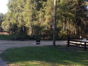
This way to the WWALS outing. Thank you for the sign! Chris and Deanna.
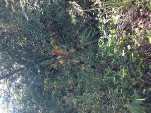
Spider
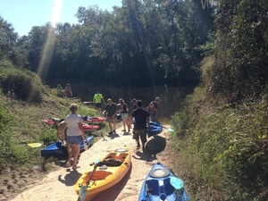
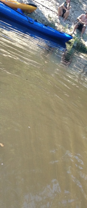
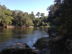
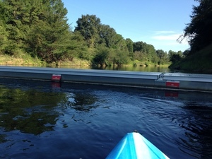
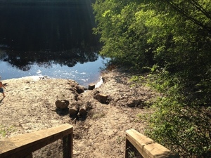
Sunbeams at the CR 143 boat launch 30.4491110, -83.2213520
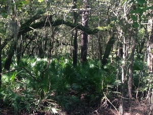
Palmettos 30.4503111, -83.2168500

Shadows 30.4502972, -83.2168667
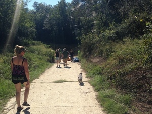
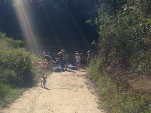
Deanna leading the way 30.4377333, -83.2509000
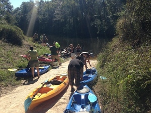
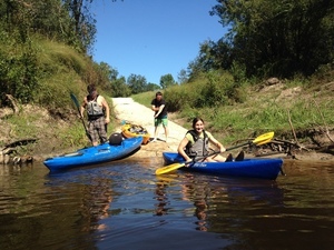
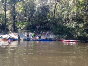
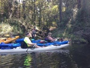
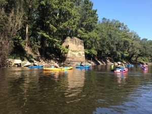
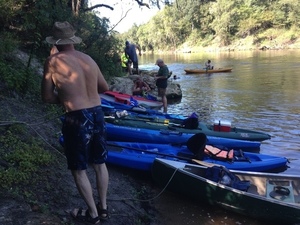
More boats 30.4491944, -83.2214583
More people 30.4492111, -83.2214667
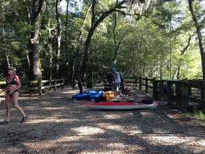
Larry Bunkley, Bret Huntley, April Huntley starting out 30.4327500, -83.2186361
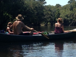
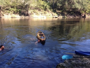
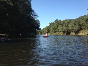
Paddle 30.4490472, -83.2215194
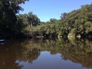
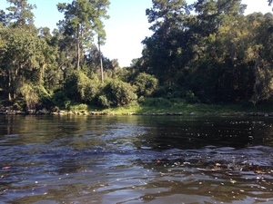
Withlacoochee River 30.4490556, -83.2214056
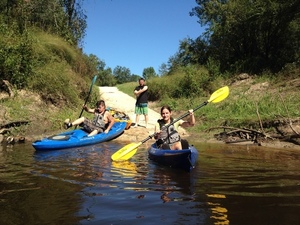
Heading downstream 30.4489944, -83.2212056
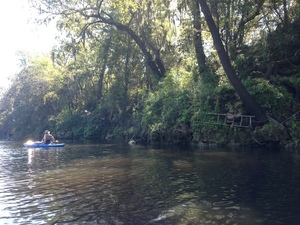
Ladder 30.4488500, -83.2209778
Cypress
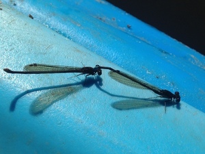
Insect sex
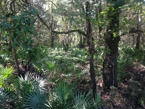
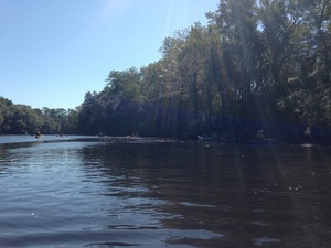
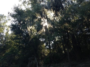
Woods
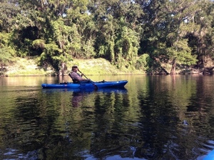
jsq
jsq on the level
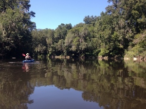
jsq downstream
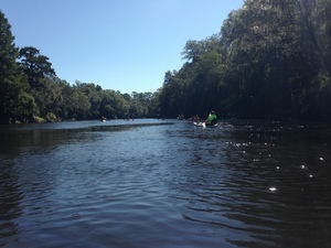
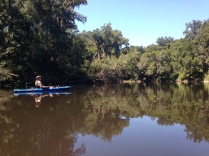
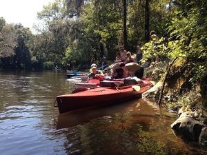
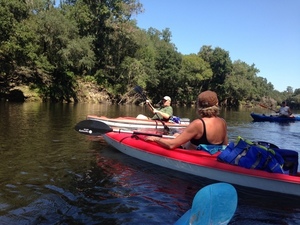
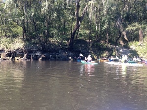
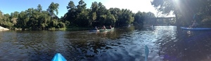
Plethora of paddlers
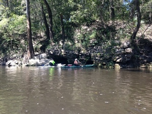
A spring
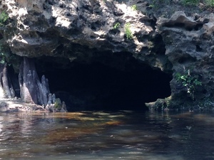
Cave
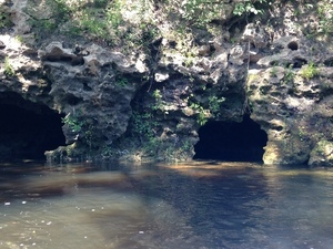
Two caves
Karst
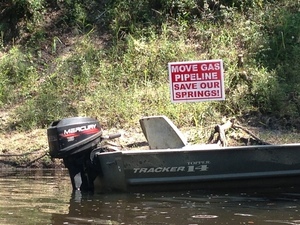
Move Gas Pipeline; Save Our Springs!
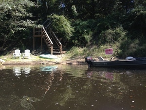
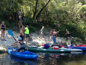
Chairs by the stairs
Debark for lunch
Chris Graham, Deanna Mericle, John S. Quarterman, Tim Carroll
Slanted water
John S. Quarterman, April Huntley, Deanna Mericle, Tim Carroll, Bret Huntley
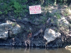
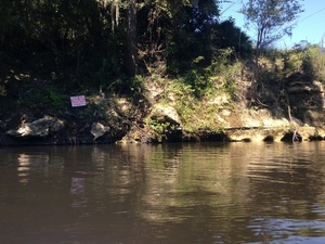
At the (then-proposed) Sabal Trail Withlacoochee crossing
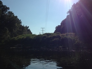
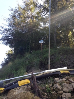
Power line
Context
Panorama: pipeline proposed to cross the Withlacoochee here
Tannin water
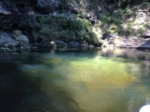
Spring
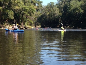
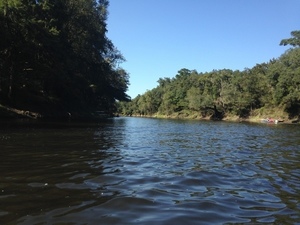
Boats observing
Tim and Clinton Carroll

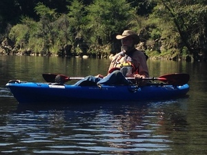
Chris Mericle with Tucker the dog
Tim Carroll
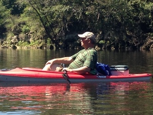
jsq relaxing
Chris and Deanna Mericle
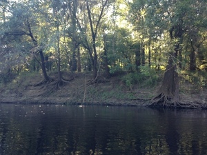
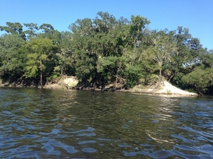
Shore
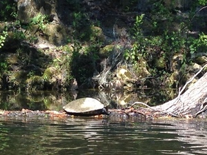
Turtle on log
Turtle on another log
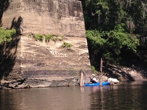
There is a chair on top of that concrete
Old bridge pier 30.4106810, -83.1811210
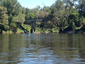
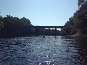
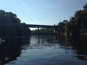
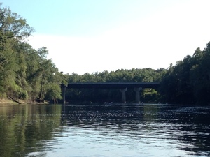
FL 141 Bridge distant 30.4104960, -83.1802730
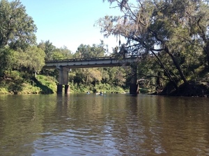
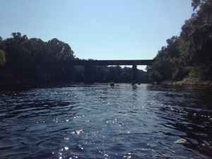
FL 141 bridge medium
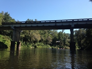
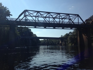
FL 141 bridge close
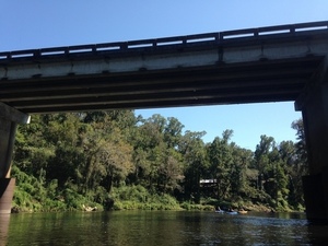
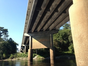
FL 141 bridge under
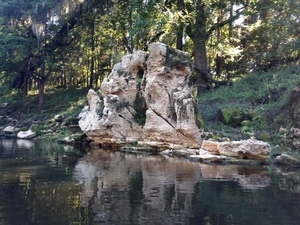
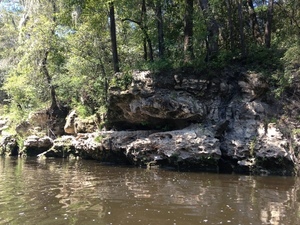
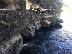
Limestone formation
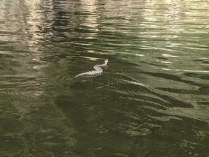
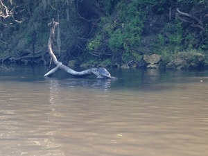
Snake in water
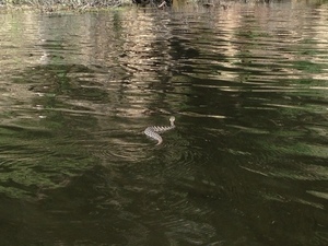
Looks like an oak snake
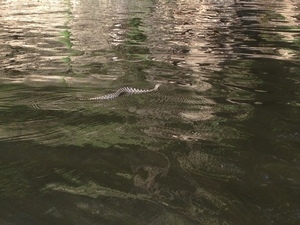
Snake sideways
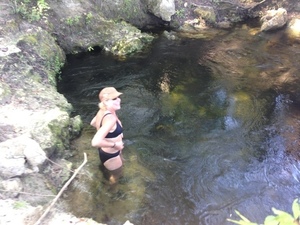
Dipping in Suwanacoochee Spring 30.3863270, -83.1715500
Suwanacoochee Spring dam
Swimming in the Withlacoochee in Suwanacoochee Spring outflow
Looking downstream from Suwanacoochee Spring
Boats almost ready to depart 30.3862100, -83.1715320
Withlacoochee Confluence panorama
Withlacoochee Confluence
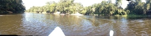
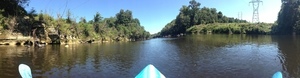
Withlacoochee joins the Suwannee panorama
Upstream Withlacoochee
Withlacoochee joining Suwannee 30.3857060, -83.1710930
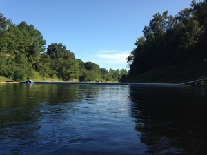
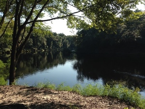
Suwannee River
Downstream Suwannee
Railroad bridge 30.3852120, -83.1718160
Drew Way bridge 30.3845640, -83.1741770
US 90 bridge
Under the US 90 bridge 30.3844620, -83.1757660
Suwannee Power Plant Canal 30.3812820, -83.1817190
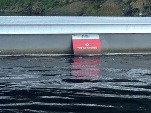
Duke Energy, No Trespassing
Duke barrier with two No Trespassing signs
NOTICE No Trespassing Private Property 30.3812730, -83.1819150
Blue No Trespassing sign
Another blue No Trespassing sign
Outflow and smokestack 30.3787500, -83.1873090
Sun westering in trees
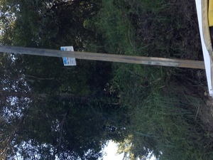
Gas line sign
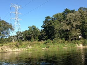
Power line and gas line 30.3661250, -83.1918290
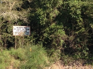
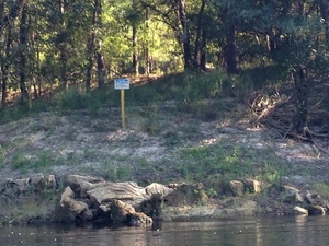
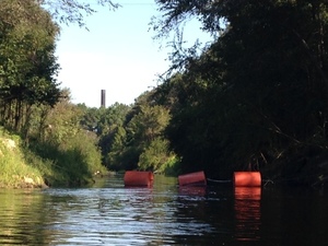
Warning Do Not Anchor Or Dredge; Gas Pipeline Crossing 30.4488500, -83.2209778
I-10 bridge 30.3591460, -83.1935670
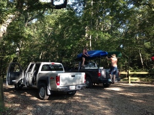
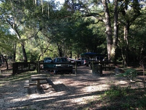
Deanna and Chris Mericle Loading up 30.3529670, -83.1893790
More loading 30.3529670, -83.1893790
IMG 6863 30.3529670, -83.1893790
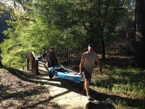
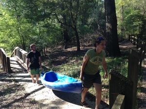
Carrying a boat 30.3529670, -83.1893790
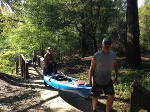
Bret and April carrying a boat 30.3529670, -83.1893790
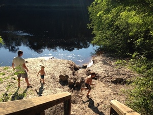
Come along, children 30.3529670, -83.1893790
IMG 6867 30.3529670, -83.1893790
Langdale weed at Suwannee River 30.3529670, -83.1893790
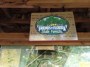
Friends of Florida State Forests 30.3529670, -83.1893790
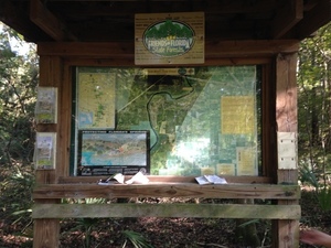
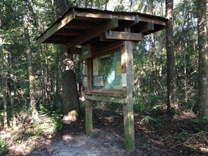
A model for a park kiosk 30.3529670, -83.1893790
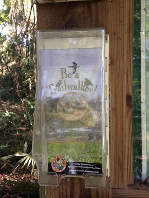
Be a Trailwalker! 30.3529670, -83.1893790
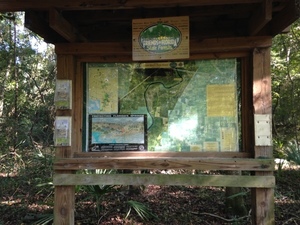
Kiosk again 30.3529670, -83.1893790
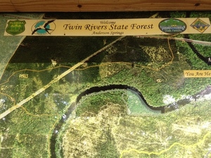
Twin Rivers State Forest 30.3529670, -83.1893790
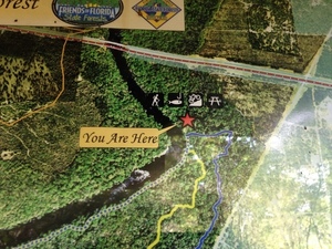
You are Here 30.3529670, -83.1893790

Protecting Floridas Springs 30.3529670, -83.1893790
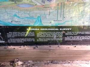
Florida Geological Survey 30.3529670, -83.1893790
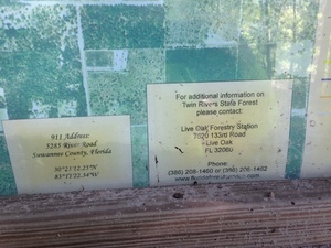
Contact Information, Twin Rivers State Forest 30.3529670, -83.1893790
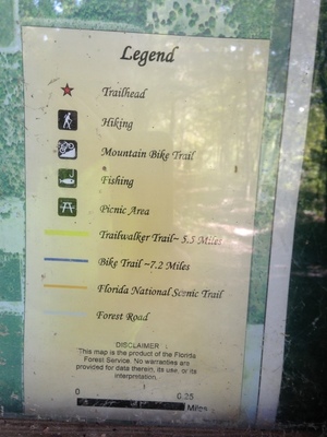
Legend 30.3529670, -83.1893790
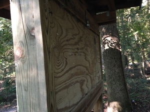
Back of kiosk 30.3529670, -83.1893790
Side of kiosk 30.3529670, -83.1893790
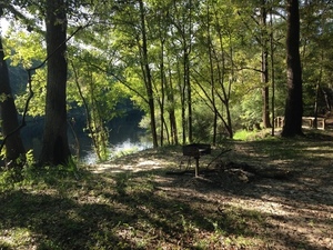
Trail to river 30.3529670, -83.1893790
Time to go home 30.3529670, -83.1893790
Short Link: