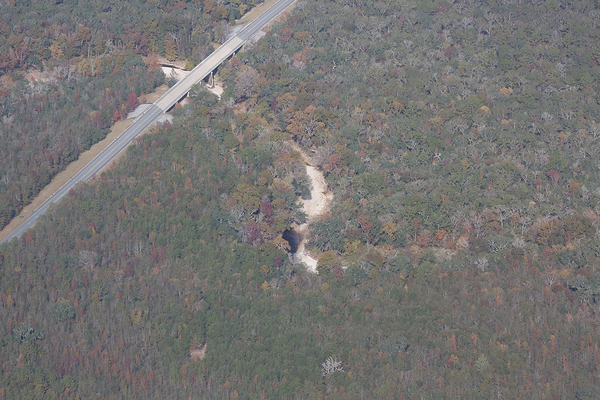
The Alapaha River is dry much of the year in most of its Florida run, because it goes underground upstream and comes back up in the Alapaha Rise, which is actually upstream on the Suwannee River from the Alapaha Confluence. The Cody Scarp causes this underground river phenomenon. See also the WWALS Alapaha River Water Trail.
Tag Archives: dry
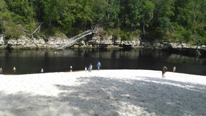
Suwannee River Beach @ Spirit of Suwannee Music Park 2016-10-16
 Very dry, and this was a week ago Sunday, with a bit more than 23 feet on the Nobles Ferry USGS gage.
Surprisingly, the water’s not much lower now according to that gage.
Somebody asked us at Suwannee River Roots Revival: why is the Suwannee River so low? He was from the Atlantic coast of Florida, where they just had hurricanes, and didn’t realize: none of that rain fell upstream inland in Florida and Georgia up to the Okefenokee Swamp.
-jsq
You can join this fun and work by becoming a WWALS member today!
Continue reading
