Update 2025-03-29: Clean Withlacoochee and Alapaha Rivers 2025-03-26.
It’s a good weekend for boating, if you are experienced and like water high and fast.
WWALS and Valdosta Utilities got good water quality results both upstream and downstream of Sugar Creek for Wednesday, and there has only been a sprinkle of rain since.
No new sewage spills were reported in Georgia or Florida.
No rain is predicted until Monday.
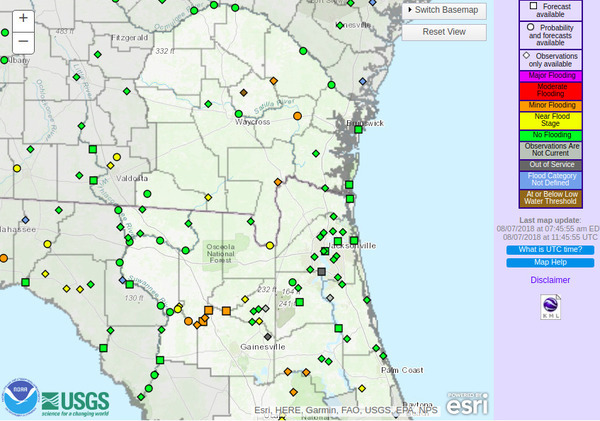
The Withlacoochee River at Pinetta is too high to paddle, as is the Suwannee at Fargo and the Ichetucknee and Santa Fe Rivers near where they join.
Avoid those spots, and happy high and fast water fishing, swimming, paddling, or boating this weekend.
If you are experienced, join us on Saturday, March 22, 2025, for the Expert paddle with jon boats: Troupville to Knights Ferry, Withlacoochee River.
The Mayor and Chairman’s Paddle has been rescheduled to April 19th.
For these and other WWALS outings and events, see: https://wwals.net/outings/
![[Clean Withlacoochee River and Ty Ty Creek 2025-03-19, No new sewage spills, No rain this weekend]](https://www.wwals.net/pictures/2025-03-19--wq/many.jpg)
Clean Withlacoochee River and Ty Ty Creek 2025-03-19, No new sewage spills, No rain this weekend
![[Dirty Withlacoochee River 2025-03-12, More rain coming 2025-03-15, First Flush, Avoid the rivers]](https://www.wwals.net/pictures/2025-03-12--wq/many.jpg)
![[Clean Alapaha and, Withlacoochee Rivers, 2025-03-05, 2025-03-06]](https://www.wwals.net/pictures/2025-03-06--wq/many.jpg)
![[Clean Alapaha and Withlacoochee Rivers 2024-12-05 Sugar Creek still nasty]](https://www.wwals.net/pictures/2024-12-05--wq/many.jpg)
![[River Water Levels, Suwannee River Basin, NOAA, USGS, SRWMD, WWALS, Action Stage, Flood, Georgia, Florida]](https://www.wwals.net/pictures/2024-08-07--noaa-gauges/many.jpg)