That was fun, by several second-magnitude springs (Pot, Tanner, etc.) and first-magnitude Madison Blue Spring, as well as several islands (Turtle Rock, Chervil, and Madison Blue), as well as a few tiny rapids. Fish jumped and the paddlers were pleased, on our way from Florida Campsites Ramp to Allen Ramp..
Thanks to Gee Edwards for leading this one.
![[Florida Campsites to Allen Ramp, Madison Blue Spring, Withlacoochee River, Saturday, June 21, 2025]](https://www.wwals.net/pictures/2025-06-21--fl-campsites-allen-ramp-withlacoochee-pictures/fbmany.jpg)
Florida Campsites to Allen Ramp, Madison Blue Spring, Withlacoochee River, Saturday, June 21, 2025
All on the Withlacoochee River between Madison and Hamilton Counties, Florida, in the Withlacoochee and Little River Water Trail (WLRWT).
For more Continue reading
![[Sullivan Landing to Madison Ramp, 2024-06-08: Shoals, Springs, and Sloughs, Withlacoochee River between Madison and Hamilton Counties, Florida]](https://www.wwals.net/pictures/2024-06-08--sullivan-madison-withlacoochee-pictures/many.jpg)
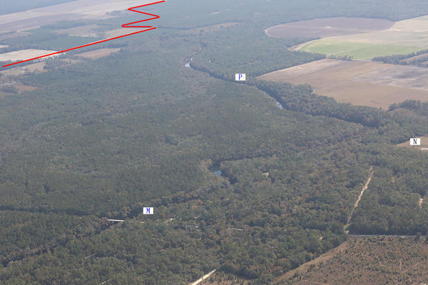
![[Banners, River, Springs]](https://www.wwals.net/pictures/2022-06-04--florida-campsites-withlacoochee-pictures/many.jpg)
![[Trucks Entering Roadway, 12:12:12, 30.4796780, -83.2201059]](https://www.wwals.net/pictures/2020-07-29--state-line-madison-utilities-blue-spring-stt-pot-spring/20200729_121212.jpg)
![[Vehicular Traffic Prohibited, 12:15:03, 30.4795594, -83.2204892]](https://www.wwals.net/pictures/2020-07-29--state-line-madison-utilities-blue-spring-stt-pot-spring/20200729_121503.jpg)
![[Pot Spring on WWALS WLRWT map]](https://www.wwals.net/pictures/2020-07-20--pot-springs-closed/map-pot-spring.jpg)
![[Closed sign]](https://www.wwals.net/pictures/2020-07-20--pot-springs-closed/115909643_3653143638034289_8538882332407289173_o.jpg)