
FOR IMMEDIATE RELEASE
Hahira, Georgia, August 19, 2021 — “We regret to say that Dirty Bird and the Flu will not be one of our Headliners this Saturday, because two of their band members have caught COVID-19,” said Suwannee Riverkeeper John S. Quarterman. “But Scott Perkins and his band, Little Perks in Paradise, are coming from Atlanta to play as a Headliner.”
Tickets are on sale now, $10 online; they will be $12 at the door.
https://wwals.net/pictures/2021-08-21–songwriting/
VIP tables seating six in front of the stage are $150; inquire to song@suwanneeriverkeeper.org.
![[Flyer]](https://www.wwals.net/pictures/2021-08-21--songwriting/Flyer-2021-SuwRK-Songwriting-Contest-0001.jpg)
The Finals will be a fun festival for the whole family, 7-11 PM, Saturday, August 21, 2021, at the Turner Center Art Park, 605 North Patterson Street, Valdosta, Georgia, 31601.
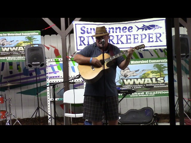
“Yes, the show will go on, with all pandemic precautions, ” said organizing Committee Chair and WWALS President Tom H. Johnson, Jr. “There will be plenty of music: all nine songwriters will be Finalists! Their songs are all so good, the WWALS Songwriting Contest Committee couldn’t bring itself to omit any of them.”
Continue reading![[Nine Songwriters, Suwannee Riverkeeper Songwriting Contest 2021]](https://www.wwals.net/pictures/2021-08-21--songwriting/bannersongs.jpg)

![[Chart, Franks Creek, Alapaha River, Little River, Withlacoochee River, Swim Guide]](https://www.wwals.net/pictures/2021-07-29--wq/many.jpg)
![[Vote for Songs!]](https://www.wwals.net/pictures/2021-08-21--songwriting/big/votesongs.jpg)
![[Upon completion; Okefenokee Swamp, Suwannee and St Marys Rivers; TIAA land still in mining site maps]](https://www.wwals.net/pictures/2021-06-25--tpm-response-ga-epd/many.jpg)
![[Flyer]](https://www.wwals.net/pictures/2021-08-21--songwriting/big/Flyer-2021-SuwRK-Songwriting-Contest-0001.jpg)
![[Entry Form + Alapahoochee Instagram]](https://www.wwals.net/pictures/2021-08-21--songwriting/entrygram.jpg)
![[5-day Cone No Line And Wind]](https://www.wwals.net/pictures/2021-07-07--elsa/115653_5day_cone_no_line_and_wind.jpg)