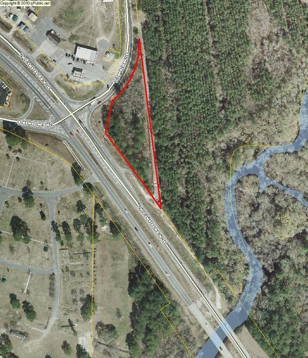
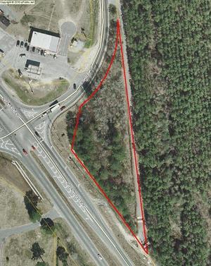
On the north side of US 41, there’s good access from Val Del Road to the Withlacoochee River.
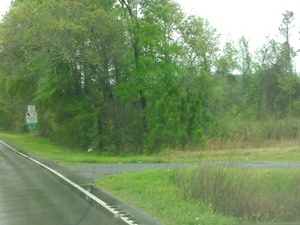 From US 41 (North Valdosta Road), turn north on Val Del Road,
and your next right is a turnoff to a gravelled road that bends sharply right into the woods, which leads back to the north side of US 41 and down to the Withlacoochee River.
It was a bit muddy in the rain this morning, but there were no big potholes,
and the river slope is easy access.
The river was high, 9.8 feet, but still well below the 15 foot flood level
on the
US 41 Gage on this bridge.
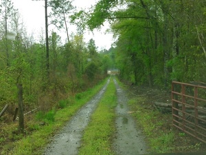 It’s not totally clear who owns the access road from Val Del Road,
or who owns the gate.
Since it is between two tax parcels, I’d guess it’s a Lowndes County road easement.
Given the Lowndes County sewer and water facilities it goes to beside US 41,
I will inquire with Lowndes County Utilities.
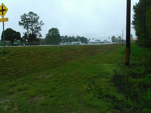 Obviously some people drive down the shoulder of US 41 under the power line
to get to the access road.
This access point is one of two dozen or more on the Withlacoochee and Little River Water Trail. Below are some more pictures of the access road all the way to the river, with dogs!
-jsq
You can join this fun and work by becoming a WWALS member today!
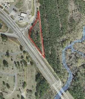
Val Del Road to Withlacoochee River

Turnoff from Val Del Road 30.8961964, -83.3201294

Gate on access road 30.8961964, -83.3201294
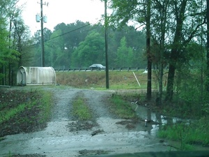
Access road back at US 41 30.8961964, -83.3201294

Clearly some people drive down from the US 41 right of way 30.8943024, -83.3198547
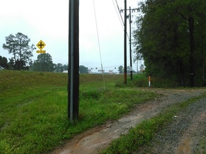
Where US 41 right of way meets access road 30.8943024, -83.3198547
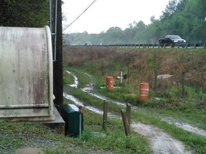
On down past the Lowndes County sewer facility 30.8945904, -83.3198929
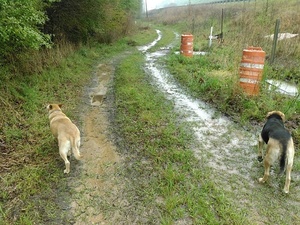
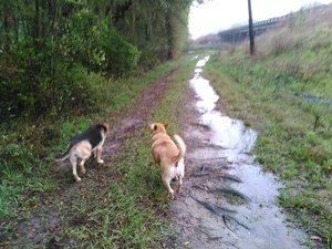
Yellow Dog and Brown Dog showing the way 30.8943024, -83.3198547
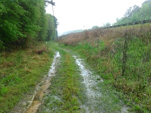
Wet, but no big potholes 30.8943024, -83.3198547
KIMG4133 30.8943024, -83.3198547
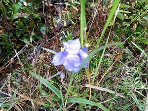
KIMG4134 30.8943024, -83.3198547
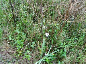
KIMG4135 30.8943024, -83.3198547
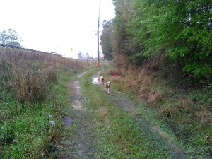
Here come the dogs 30.8943024, -83.3198547
Can see the Withlacoochee River 30.8943024, -83.3198547
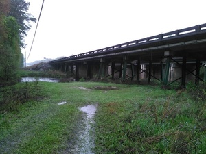
Down to the bridge 30.8943024, -83.3198547
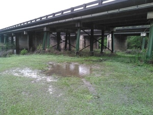
Would this be enough parking? 30.8943024, -83.3198547
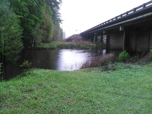
Withlacoochee River is high, 9.8 feet, still well below 15 foot flood 30.8943024, -83.3198547
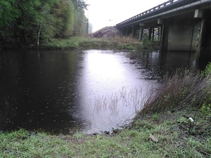
Easy Withlacoochee River access 30.8943024, -83.3198547

Withlacoochee River at US 41 bridge 30.8936111, 83.3227778

Under the US 41 bridge over Withlacoochee River 30.8947222, 83.3261111

Withlacoochee River and US 41 bridge 30.8947222, 83.3261111

US 41 bridge over Withlacoochee River 30.8947222, 83.3261111
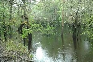
Movie: Flowing Withlacoochee River at US 41 (3.2M)
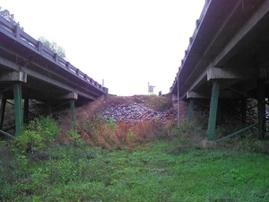
US 41 Withlacoochee River Gage 30.8931293, -83.3187027
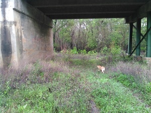
Yellow Dog under US 41 bridge 30.8931293, -83.3187027
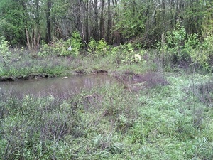
Even easier access southwest corner 30.8931293, -83.3187027
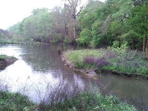
A still pool before the rushing Withlacoochee River 30.8931293, -83.3187027
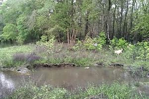
Movie: Yellow Dog and the pool by the river (2.3M)
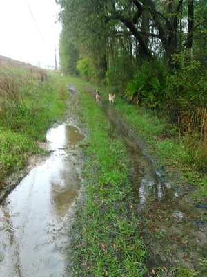
Dogs heading back up towards Val Del Road 30.8926258, -83.3194580
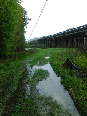
Looking back at the river under the power line 30.8926258, -83.3194580
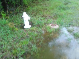
Fire hydrant and water valve 30.8926258, -83.3194580
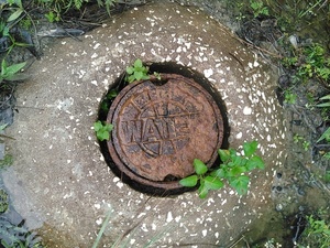
Water valve 30.8926258, -83.3194580
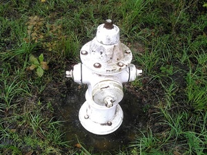
Fire hydrant 30.8926258, -83.3194580
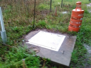
Access panel 30.8926258, -83.3194580
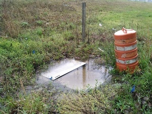
Another access panel 30.8926258, -83.3194580
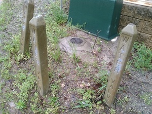
Water valve at corner 30.8926258, -83.3194580
Label on big box 30.8926258, -83.3194580
Val Del road sign 30.8942966, -83.3198318
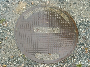
Lowndes County, Georgia Sanitary 30.8942928, -83.3198395
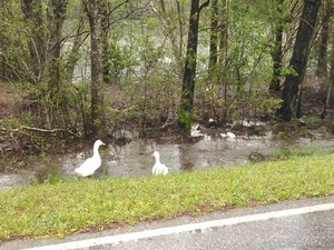
Ducks on McMillan Road 30.9552555, -83.2918930
Short Link:


