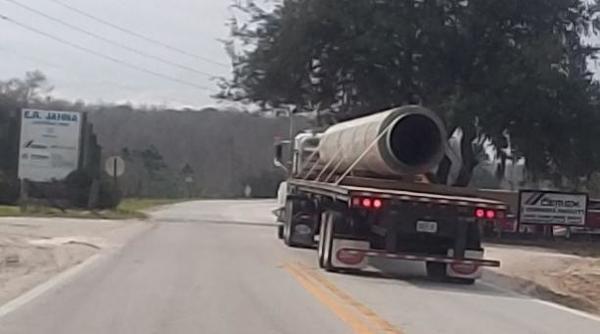
 In what document did FERC permit concrete wrapped around Sabal Trail pipe?
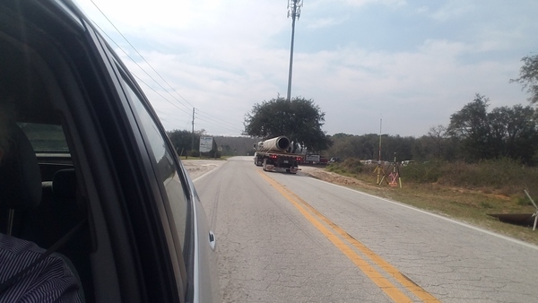
 And why was concreted pipe still being trucked in yesterday,
two weeks after these aerials?
Pictures by Jim Tatum from Southwings flight for WWALS 7 Feb 2017
Sabal Trail down Sand Mine Road 28.3105110, -81.6738150
Concrete pipe 28.3106720, -81.6847530
Concreted pipe on Sand Mine Road at Greenbay Road 28.3110870, -81.6904770
 This is at
28.311107, -81.690429,
4949 Sand Mine Rd, Davenport, FL 33897.
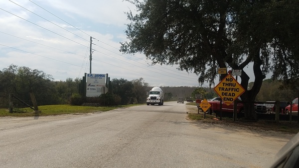
Pictures by John S. Quarterman from the ground 21 Feb 2017
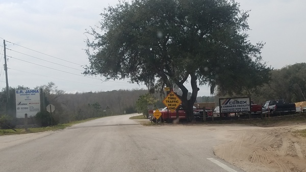
No Thru Traffic, Dead End, Sand Mine Road 28.3102870, -81.6813648
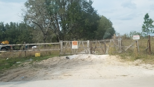
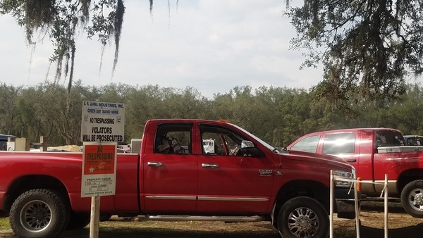
No Trespassing, Orchid Drive 28.3101987, -81.6815822
Green Hill Sand Mine, E.R. Jahna Industries 28.3101809, -81.6816030
Concreted pipe going in 28.3100000, -81.6808333
Concreted pipe detail 28.3100000, -81.6808333
Concreted pipe in, tanker truck out 28.3102128, -81.6810976
Credits
The aerials were taken 7 Feb 2017 by Jim Tatum on a Southwings flight for WWALS, piloted by Roy Zimmer, navigated by Andrea Rea, and we’re looking forward to seeing pictures from Mark Skogman. The pictures from the ground were taken by John S. Quarterman for WWALS 21 February 2017. All pictures are under a Creative Commons reuse attribution license: you may use them provided you cite the source, WWALS.net.
The location came from a tip, whom we’ll be happy to credit if that’s what the source wants.
-jsq, John S. Quarterman, Suwannee RIVERKEEPER®
You can join this fun and work by becoming a WWALS member today!
Short Link:


