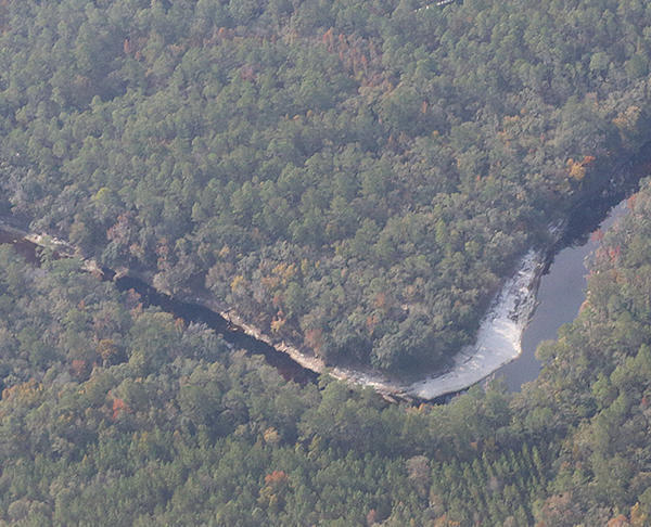
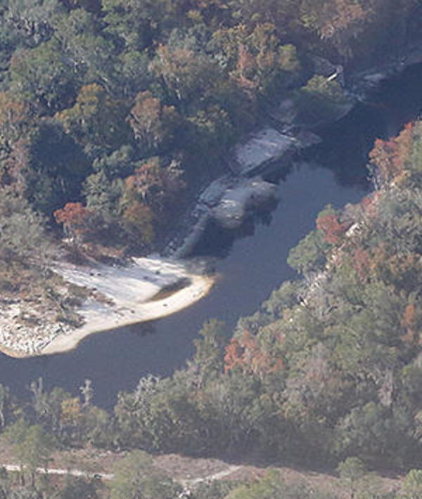
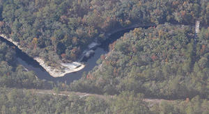
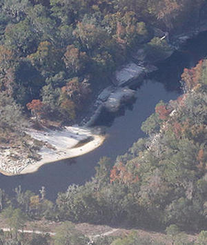
These aerial photographs by Beth Gammie cover the route of the Saturady 20 May 2017 WWALS Outing down the Suwannee River from Woods Ferry Tract Launch to Suwannee Springs. She took them for WWALS 23 November 2016, on a Southwings flight piloted by Roy Zimmer. They’re all looking from Hamilton County south (or west) across the Suwannee River into Suwannee County.
Woods Ferry Tract Launch
I have pulled out a few detail shots, of Woods Ferry Tract Launch and of Suwannee Springs.
Suwannee Springs bathhouse
-jsq, John S. Quarterman, Suwannee RIVERKEEPER®
You can join this fun and work by becoming a WWALS member today!
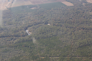
Florida Trail across to 60th Place, Live Oak, FL, 30.3453630, -82.8403630
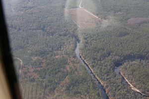
Entrance, Woods Ferry Tract, 30.3433540, -82.8551800
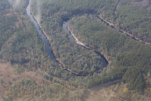
Woods Ferry River Camp, 30.3545110, -82.8555880
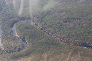
Woods Ferry Path, 30.3518720, -82.8589250
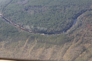
Florida Trail between planted pines and Suwannee River, 30.3586900, -82.8570690
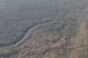
Florida Trail, 30.3599910, -82.8595900
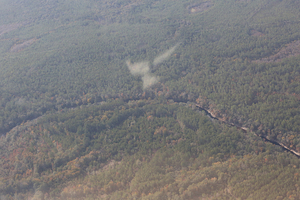
Woods Ferry Creek confluence, 30.3581580, -82.8664780
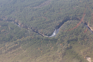
Woods Ferry Tract Launch, 30.3620000, -82.8683330
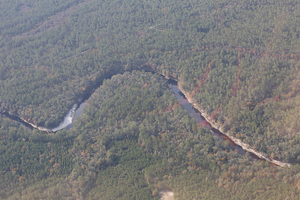
Jerry Branch, 30.3652560, -82.8671200
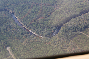
Jerry Branch confluence, 30.3658730, -82.8714810
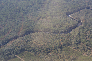
Planted pines, 30.3675210, -82.8744320
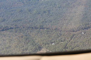
9123 SE 128th Ave, White Springs, FL 32096, 30.3731310, -82.8909440
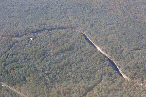
SE 90th Way, White Springs, FL 32096, 30.3775400, -82.8900870
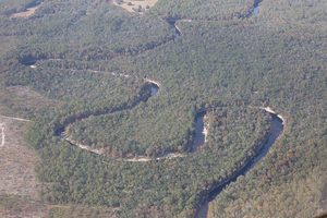
Looking W and downstream, 30.3877040, -82.8943260
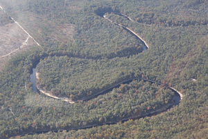
Many river bends, 30.3892590, -82.9036060
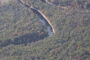
Suwannee River, 30.3848130, -82.9077850
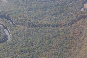
Camp Branch Conservation Area, 30.3861830, -82.9122160
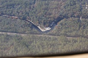
Suwannee Springs, 30.3953060, -82.9313090
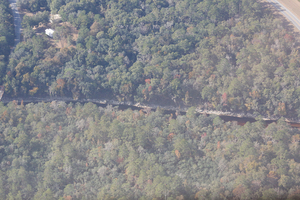
3063 93rd Dr, Live Oak, FL 32060, 30.3948370, -82.9373600
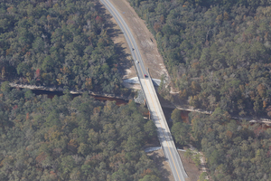
WSW to US 129 Suwannee River bridge, 30.3991450, -82.9355480
Short Link:

Pingback: Woods Ferry to Suwannee Springs, Outing and Hands Across the Sands, Suwannee River 2017-05-20 | WWALS Watershed Coalition (Suwannee RIVERKEEPER®)