Update 2020-09-13:
Pictures.
Cleanup on the Alapaha River in Berrien County, Georgia, at Berrien Beach Boat Ramp.
When:
Gather 9 AM, launch N/A, end 12 PM, Saturday, September 12, 2020
Put In:
Berrien Beach Boat Ramp. Concrete boat ramp on the north side of GA 168, west side of Alapaha River, in Berrien County, Georgia. About 20 minutes east of Nashville, GA, same southwest of Pearson. Less than 45 minutes southeast of Tifton and northeast of Valdosta. About an hour north of Madison, Jasper, Live Oak, or Lake City, FL; two hours north of Gainesville, FL.
The boat ramp is public, but the Berrien (west) side of the river is owned by Langdale Timber Company. Also known as Berrien Beach Landing. Float downstream under the bridge to the sand beaches of Berrien Beach.
GPS:
31.159076, -83.045554
Take Out:
Berrien Beach Boat Ramp , which is on the WWALS
Alapaha River Water Trail.
Bring: the usual personal flotation device, boat, paddles, food, drinking water, warm clothes, and first aid kit.
Also trash pickers and trash bags: every WWALS outing is also a cleanup.
Actually, you don’t have to bring a boat to this one: there’s plenty of trash to clean up right at the boat ramp.
Free: it’s a cleanup.
However, we recommend you support the work of WWALS by
becoming a WWALS member today!
wwals.net/donations/#join
Event: facebook,
meetup
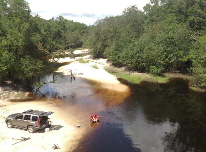
Photo: Bret Wagenhorst, Public access on north side of bridge, with cement strip boat ramp at higher water level but no facilities. Access road is unpaved and about 1/4 mile long. Nice sandy beach 2014-10-20.
Continue reading →

![[Boat Ramp, Berrien Beach, bags of trash, bottles]](https://www.wwals.net/pictures/2020-09-12--berrien-beach-cleanup-pictures/many.jpg)
![[Before]](https://www.wwals.net/pictures/2020-09-12--berrien-beach-cleanup-pictures/20200912_091733.jpg)


![[Side by Side]](https://www.wwals.net/pictures/2019-04-25--troupville-metal-signs/side-by-side.jpg)