All the Suwannee River Basin USGS gages in Georgia just got a new flood level reporting system (except they missed one).
 They’ve added a level measurement from sea level,
probably not coincidentally about the same as the Florida gages
added a level measurement from dry riverbed,
so both Georgia and Florida gages now have both measurements.
This actually does not affect the WWALS level charts for the
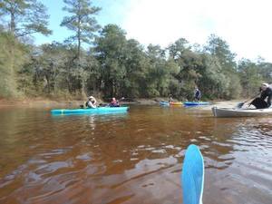
Withlacoochee and Little River Water Trail
nor for the
Alapaha River Water Trail,
because those continue to display water levels from dry riverbed.
To see this change at all, you have to drill down to the USGS detail pages,
for example on the Withlacoochee River
at Skipper Bridge Road in Georgia,
or
near Pinetta, Florida.
They’ve added a level measurement from sea level,
probably not coincidentally about the same as the Florida gages
added a level measurement from dry riverbed,
so both Georgia and Florida gages now have both measurements.
This actually does not affect the WWALS level charts for the
Withlacoochee and Little River Water Trail
nor for the
Alapaha River Water Trail,
because those continue to display water levels from dry riverbed.
To see this change at all, you have to drill down to the USGS detail pages,
for example on the Withlacoochee River
at Skipper Bridge Road in Georgia,
or
near Pinetta, Florida.
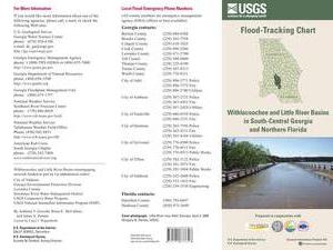
National Weather Service Weather Forecast Office, Tallahassee, FL, unknown date,
Suwannee River Basin Datum Changes in South Central Georgia,
Starting on October 14, 2015, the National Weather Service in
Tallahassee and Jacksonville will make adjustments to the reporting
method for water level in the Suwannee River System. This includes
river gages in the following rivers or creeks: Continue reading →

 We all drink from straws into the same Floridan Aquifer,
so we need to keep it clean and full,
said
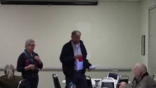
WWALS acting Executive Director Gretchen Quarterman
at the
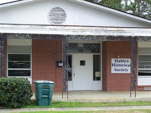
Hahira Historical Society, a very influential institution between
the Little and Withlacoochee Rivers in Lowndes County, Georgia.
We all drink from straws into the same Floridan Aquifer,
so we need to keep it clean and full,
said
WWALS acting Executive Director Gretchen Quarterman
at the
Hahira Historical Society, a very influential institution between
the Little and Withlacoochee Rivers in Lowndes County, Georgia.