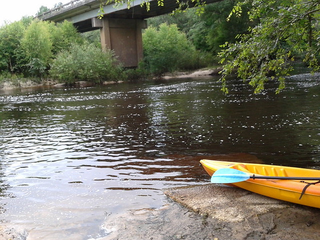
The June WWALS outing is from Clyattville-Nankin Road to Horn Bridge on
 Madison Highway (GA 31) on the Withlacoochee River.
Meet at the Clyattville-Nankin Road putin at 9AM, put in at 10AM, Saturday, 22 June 2013.
Join the
facebook event if you like.
See you there!
Madison Highway (GA 31) on the Withlacoochee River.
Meet at the Clyattville-Nankin Road putin at 9AM, put in at 10AM, Saturday, 22 June 2013.
Join the
facebook event if you like.
See you there!
Update 20 June 2013:
How are we getting back to our vehicles with this trip?
We’ll deposit all the boats at
the put-in (Clyattville-Nankin Road), take most of the vehicles
down to the take-out (Horn Bridge on Madison Highway aka GA 31),
carpool in a few vehicles back to the put-in, and float down the river.
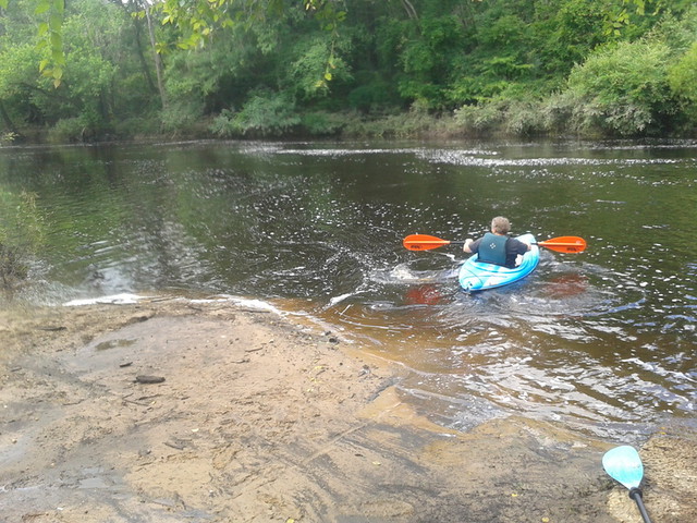
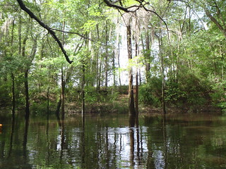
Tom Baird described this nine-mile two-hour trip as:
The section
includes where Clyatt Mill Creek enters, a truly fun set of rapids (two
drops) at the Ga – Fla border, a very nice Second Magnitude Spring (that I
have yet to find the correct name), the remains of the enormous abandoned
trestle over the river of the Georgia & Florida Railroad,
 or Ole God
Forsaken as it was nicknamed, the ghost town of Olympia on the Georgia side,
and several Indian quarry sites. It is along this section that the river
cuts deeply enough that the banks switch from sand banks to limerock cliffs.
Paddle distance is about 9 miles, so a little over two hours paddling time.
There are plenty of places to stop and look around.
or Ole God
Forsaken as it was nicknamed, the ghost town of Olympia on the Georgia side,
and several Indian quarry sites. It is along this section that the river
cuts deeply enough that the banks switch from sand banks to limerock cliffs.
Paddle distance is about 9 miles, so a little over two hours paddling time.
There are plenty of places to stop and look around.
There are shoals right at the state line, so beware, esp. if you’re in a canoe.
The book Canoeing and Kayaking Georgia, by Susanne Welander, Bob Sehlinger, and Don Otey (2004) says: Continue reading →

From:
To:
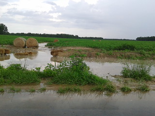
Here in central south Georgia our pocosin swamps and blackwater river flood plains are important for fishing, hunting, wildlife and ecological preservation as well as recreation and flood control. In our watersheds we have serious problems of flooding at least partly due to Continue reading