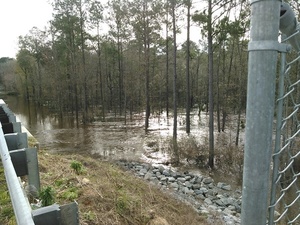
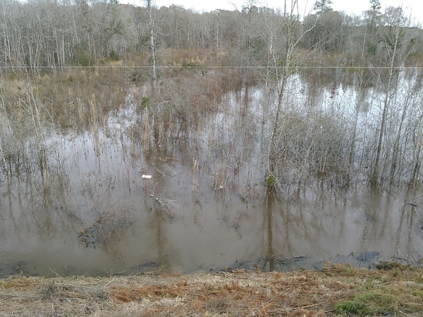
The water level continued up from yesterday, when it was
 17.66 feet on the USGS guage at Skipper Bridge in Lowndes County, Georgia
at 9:46 AM when I took these pictures.
Flood stage is 15 feet.
It was so high you could have floated over the chain link fence the county
put in when
it replaced the bridge, thus preventing normal use of this bridge
as a Withlacoochee River access point on the
Withlacoochee and Little River Water Trail.
-jsq
You can join this fun and work by becoming a WWALS member today!
Downstream panorama 30.9016667, 83.2930556
Upstream panorama
Upstream with trash 30.9492416, -83.2737732
Short Link:


Pingback: Withlacoochee River at GA 122 | WWALS Watershed Coalition