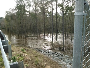
Maybe soon this February baker’s dozen of wastewater spills will be
a thing of the past, but for now it’s deja vu similar to but worse than last February.
 It looks like Valdosta has updated,
as repeatedly asked,
its
schedule for wastewater project completion,
with the force main project now aimed at July 2016 and relocation of the
Withlacoochee WasteWater Treatment Plant (WWTP) for August 2017.
See also Valdosta PR 22 January 2016,
Withlacoochee Aerial Sewer Mains Replacement Project.
Those schedule changes are mentioned in the most recent Valdosta News.
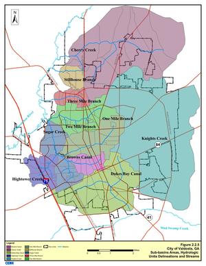
It does not, however, say which watersheds the various spills affect.
I have added * for Alapaha River watershed and ** for Withlacoochee River watershed.
It’s not that hard, and
Valdosta has a water management plan that spells this all out, with maps.
One Mile Branch** and Two Mile Branch** flow into Sugar Creek**,
which goes into the Withlacoochee River**.
Knights Creek* goes into Mud Creek* which goes into the Alapahoochee* River and then the Alapaha River*, eventually joining the Suwannee River in Florida,
as does the Withlacoochee.
Valdosta Utilities and Public Relations know all that.
But why should every citizen, Continue reading →
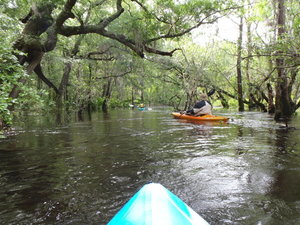
 Also one of the least-attended WWALS outings, because we
hadn’t really gotten the hang of
announcing outings yet. But that just made it more intimate for
the three of us who went. I got especially intimate with the river,
choosing to swim twice. I always choose to swim when the water
comes up to meet me…. Eventually I learned not to lean towards
the side you’re tipping towards.


