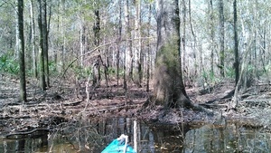
Deadfalls on this creek,
backing up flood waters onto Skipper Bridge Road forcing a bridge to close in 2009,
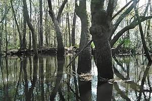 were one reason for the formation of WWALS.
Here are some pictures and a very brief movie.
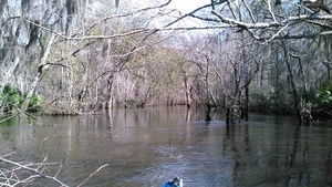
In a typical day for a Waterkeeper®, starting slow after a road trip to Atlanta the previous day with several Riverkeepers and other environmental organizations, I was preparing for the movie in Live Oak Friday evening when I got a message from Noelani Mathews wanting an interview about the pipeline movie. As I threw a kayak in the truck, the Yellow Dog hopped in, and we floated about for the WCTV camera. Taking a few moments afterwards I got these pictures. Then I went back to the house to sign up for a conference in Gainesville with more Riverkeepers, and to send out a press release about the Water Trail Workshop at VSU Saturday February 27th. The WCTV interview aired that evening as we were setting up in Live Oak for the movie: who says you can’t be in two or three places at once? Then Saturday to Gainesville: 821 miles in three days. Other people too numerous to mention were involved in all these events: thanks to all of them.
The nearest gauge, downstream a few miles at Skipper Bridge Road near River Road, read about 10 feet mid-day Friday 12 February 2016, already well down from flooding at 17.6 feet on February 6th, and a little lower than when we paddled downstream from GA 122 to Franklinville Road 2013-04-20.
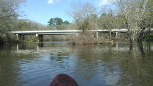 That Yellow Dog is such a camera hog!
Both the creek and the river are part of the Withlacoochee and Little River Water Trail. Come to the Workshop at VSU February 27th to learn more and meet people who like these rivers, creeks, lakes, and swamps!
-jsq
You can join this fun and work by becoming a WWALS member today!
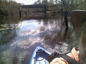
Upstream from GA 122 bridge 31.0145817, -83.3019562
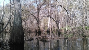
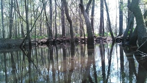
Trees in the Hutchinson Mill Creek 31.0146026, -83.3019714
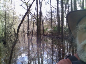
Downstream from blockage 31.0149460, -83.3028107
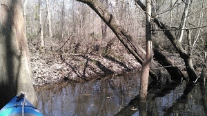
Blocked that way 31.0155144, -83.3020706
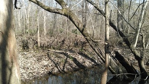
Higher 31.0155144, -83.3020706
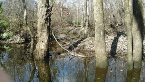
Water was higher recently 31.0155182, -83.3020477

Movie: Hutchinson Mill Creek (2.0M) 31.0155182, -83.3020477
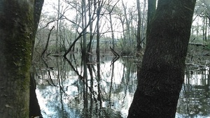
Framed creek 31.0150585, -83.3023071
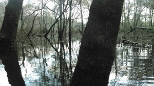
Oak in middle 31.0149860, -83.3023376
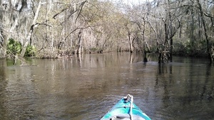
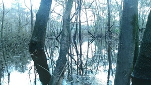
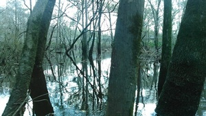
Looking upstream from Hutchinson Mill Creek confluence 31.0144596, -83.3016739
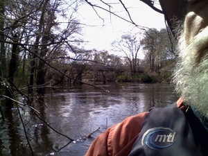
Looking downstream from Hutchinson Mill Creek confluence 31.0144863, -83.3017120
Short Link:

Pingback: Withlacoochee River, GA 122, Yellow Dog | WWALS Watershed Coalition