Mystery finally solved of where is the road over what creek does Lowndes County Georgia want to replace a bridge?
 Item
6.b. Replacement of Beatty Creek Bridge on Williams Road,
for
yesterday morning’s Lowndes County Commission Work Session:
where is this for the $634,800 low bid from Southern Concrete Construction of Albany, GA?
There are two Williams Roads in Lowndes County and no Beaty Creek.
In the north end of the county Cat Creek has a tributary Beatty Mill Creek,
with a Williams Road running near it between
Upper New Bethel Road and Beatty Mill Creek Road.
But according to all the maps I can find, Williams Road does not cross
Beatty Mill Creek.
So what exactly is it that the county wants to pay the low bidder $634,800 for? In the 8:30 AM Tuesday 25 April 2016 Work Session, Commissioner Mark Wisenbaker asked, “Where exactly is this?”
Answer from County Engineer Mike Fletcher:
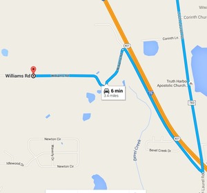
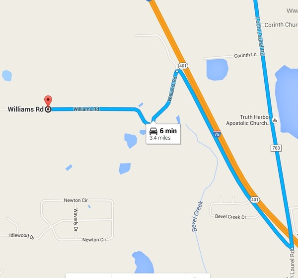
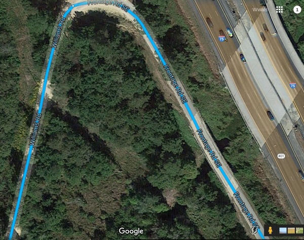
Go down Loch Laurel Road, Go across the interstate, turn to the right, frontage road turns into Williams Road, right there at the bridge. Some people call it Williams Road, some people call it Frontage Road.
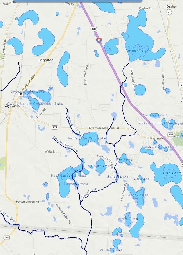
And according to Google Maps, that’s Bevel Creek, not the non-existent Beaty Creek, and not Beatty Mill Creek.
Loch Laurel Road doesn’t have an exit on I-75, so for those coming from north it’s Exit 11, and from the south it’s Exit 5 to get there.
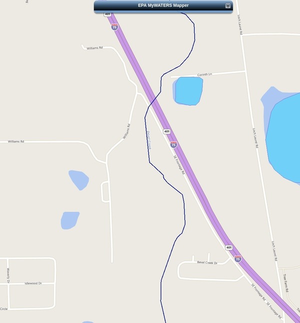
According to EPA MyWaters Mapper Bevel Creek does cross Williams Road, just before it turns west away from I-75.
Knowing that, we can find Bevel Creek crossing both Williams Road and I-75 in google maps.
Where does Bevel Creek go? Into Jumping Gully Creek, which flows into the Withlacoochee River just across the state line in Florida.
Pretty easy to find stuff when the county finally tells us the correct name of the creek and the location of the road.
-jsq
Short Link:

Pingback: Videos: Emergency no-bid repairs, a bridge where, and unnecessary resurfacing @ LCC 2016-04-25 | On the LAKE front
Pingback: Map of American Rivers by Nelson Minar | WWALS Watershed Coalition