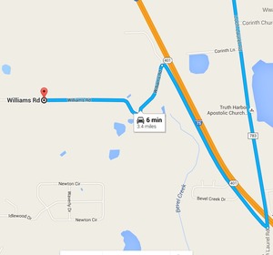
Mystery finally solved of where is the road over what creek
does Lowndes County Georgia want to replace a bridge?
 Item
6.b. Replacement of Beatty Creek Bridge on Williams Road,
for
yesterday morning’s Lowndes County Commission Work Session:
where is this for the $634,800 low bid from Southern Concrete Construction of Albany, GA?
There are two Williams Roads in Lowndes County and no Beaty Creek.
In the north end of the county Cat Creek has a tributary Beatty Mill Creek,
with a Williams Road running near it between
Upper New Bethel Road and Beatty Mill Creek Road.
But according to all the maps I can find, Williams Road does not cross
Beatty Mill Creek.
So what exactly is it that the county wants to pay the low bidder $634,800 for?
In the 8:30 AM Tuesday 25 April 2016 Work Session,
Commissioner Mark Wisenbaker asked, “Where exactly is this?” Continue reading →
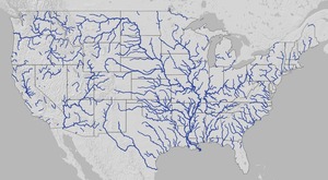
 It actually covers the lower 48 states and is pretty impressive at that scale.
Plus you can zoom in.

