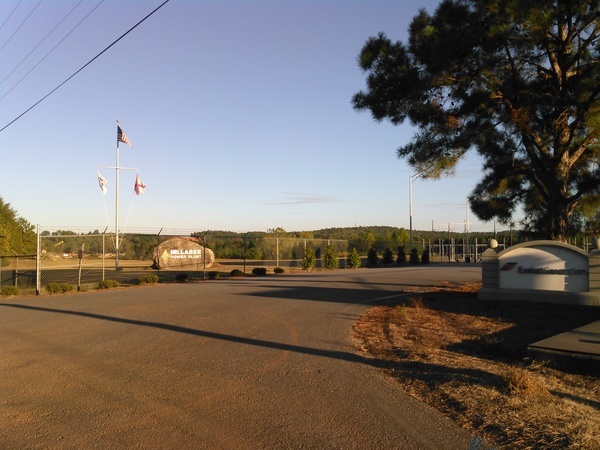
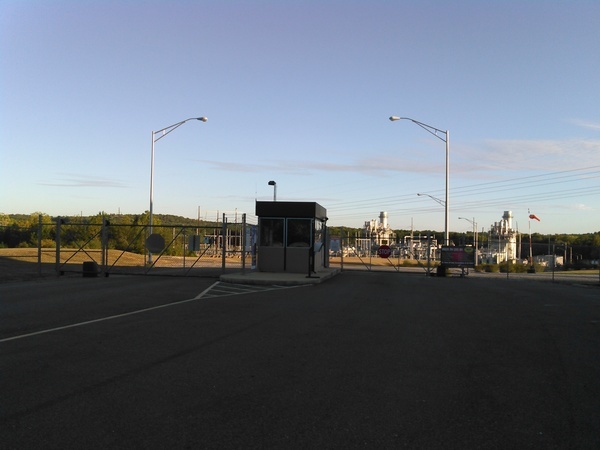
Where Sabal Trail connects to Transco: the head of the black snake,
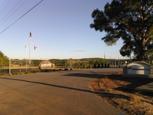 at Hillabee Power Plant, owned by Exelon Corp., near Alexander City, Alabama.
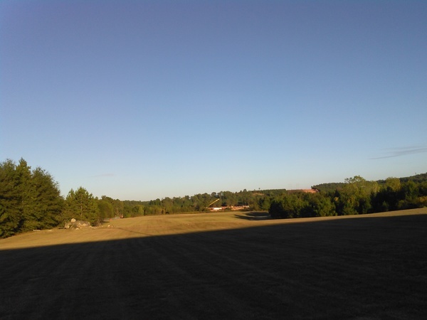
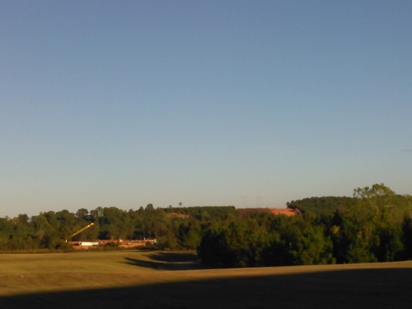
We were driving by, so we took some pictures.
Here are
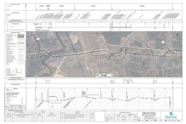
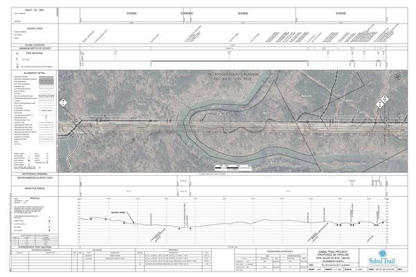
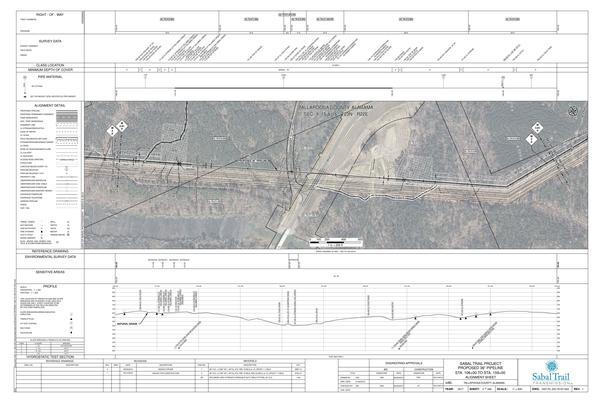
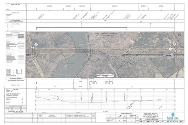
Sabal Trail’s Alignment Maps
for this area,
the
photographs I took yesterday,
and
a google map with links to the pictures,
plus
what you can do to stop this unnecessary, destructive, and hazardous fracked methane pipeline boondoggle.
Update 2016-10-10: All 527 of Sabal Trail’s April 2016 alignment maps are now available in small, big, huge, and PDF formats, courtesy of Lowndes Area Knowledge Exchange (LAKE).
What you can do
There are many things that can be done to oppose the Sabal Trail 20th century fossil fuel boondoggle so we can get on faster with 21st century solar power, which has already won the market.
- Demand the U.S. Army Corps of Engineers open a Supplemental Environmental Impact Statement.
-
Demand a rehearing on the FERC certificate of convenience and necessity.
http://spectrabusters.org/ferc/how-to-send-an-ecomment-to-ferc/ -
 Support legal actions by Sierra Club or anyone else against any USACE or FERC or state permit.
Groups file Federal Lawsuit to Block Construction of Massive Fracked Gas Pipeline in Alabama, Georgia and Florida: Pipeline Project Threatens Drinking Water for 10 Million People
Sierra Club & Riverkeepers file lawsuit challenging Federal Energy Regulatory Commission’s approval of Sabal Trail/ Southeast Market Pipeline -
Stop the Trans-Pacific Partnership (TPP).
http://www.sierraclub.org/trade/take-action-stop-tpp -
 Contact your members of Congress and ask them to
rein in the rogue agency, FERC, the Federal Energy Regulatory Commission,
that rubber-stamped Sabal Trail like it did all but one pipeline in the past thirty years.
-
Ask the Alabama, Georgia, and Florida legislatures and the U.S. Congress to revoke eminent domain for private companies.
http://spectrabusters.org/contact/counties-and-cities/alabama-counties-and-cities/
http://www.senate.ga.gov/senators/en-US/FindyourLegislator.aspx
http://www.myfloridahouse.gov/Sections/Representatives/myrepresentative.aspx -
 Get Congress to reform the Natural Gas Act and the Pipeline Safety Act and change the charter of FERC to no new fossil fuel projects; only renewable energy.
https://www.govtrack.us/congress/members - Join one of the many demonstrations against Sabal Trail and all its ugly siblings.
Perhaps most importantly, inform your friends and neighbors that Sabal Trail is not a hiking trail: it is a destructive, hazardous, and unnecessary greed grab by companies from somewhere else at our expense.
/issues/stt/
-jsq
You can join this fun and work by becoming a WWALS member today!
Sabal Trail Alignment Maps
Among those Sabal Trail filed with FERC as Accession Number 20160407-5081, “Sabal Trail Transmission, LLC submits its Implementation Plan—Supplemental Information for the Sabal Trail Project under CP15-17.” More of those maps, including all the river crossings, are in a previous post.
Click on any small map for a bigger map.
Oaktasas Creek, Alexander City Compressor Station, Tallapoosa Co., AL
Hillabee Creek HDD, Tallapoosa Co., AL
Hillabee Creek @ AL 22, Tallapoosa Co., AL
Tallapoosa River HDD, Tallapoosa Co., AL
Google Map
Follow this link for the google map, which is also embedded below.
Photographs
Pictures by John S. Quarterman for WWALS Watershed Coalition, Inc., CC BY 3.0 US.
See also Sabal Trail preparing to drill under Withlacoochee River in Georgia 2016-10-05.
Click on any small picture for a bigger picture.
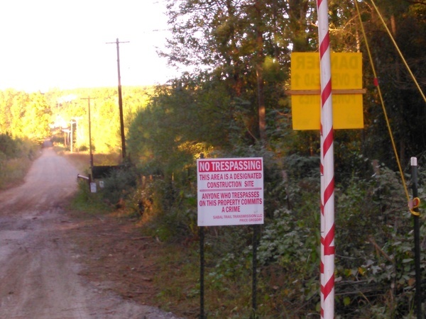
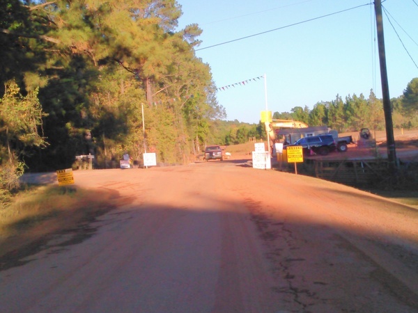
No Trespassing, Designated Construction Site, Oaktasasi Rd., 32.9948460, -85.9003210
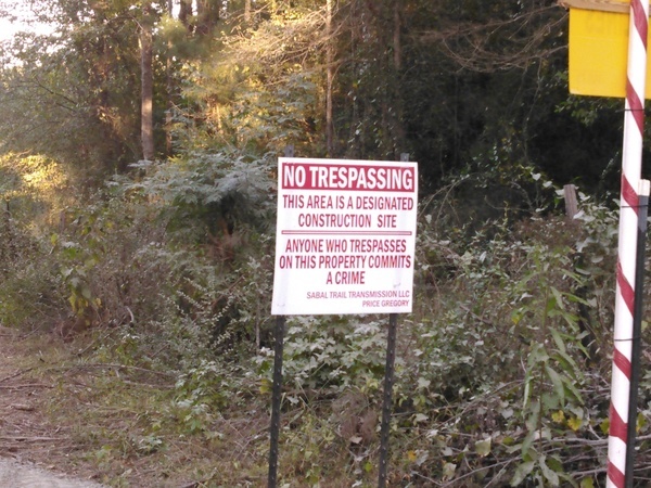
Anyone who trespasses on this property commits a crime, STT, Price-Gregory, 32.9948710, -85.9002860
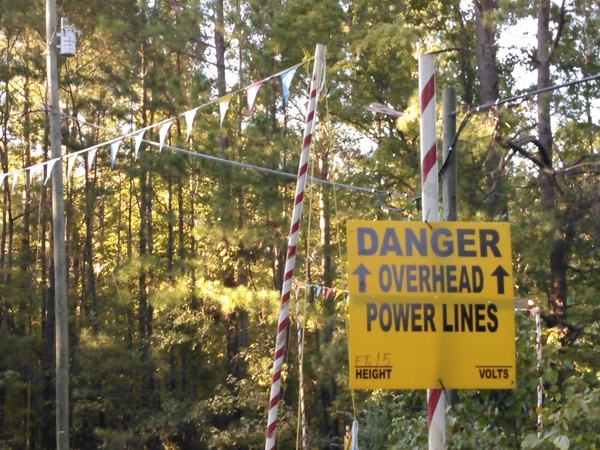
Danger Overhead Power Lines, 32.9948770, -85.9004020
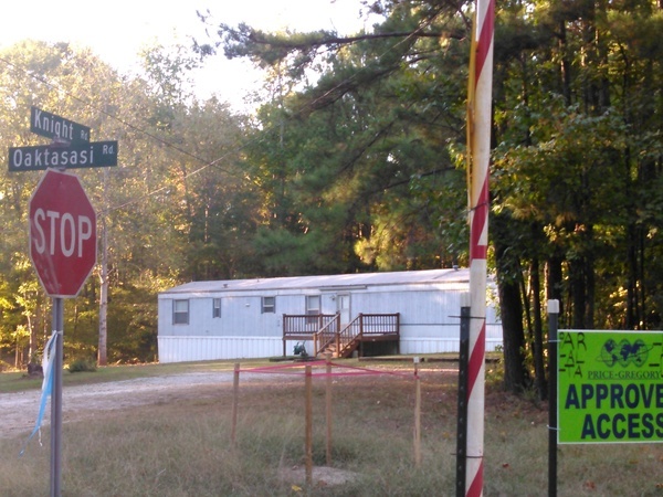
Knight Rd., Oaktasasi Rd., 32.9949020, -85.9004630
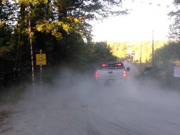
Truck, dust, Oaktasasi Rd., 32.9948510, -85.9003810
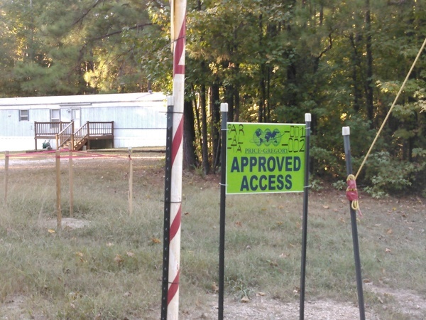
Price-Gregory Approved Access PAR -AL -TA -001 -002, 32.9948700, -85.9004200
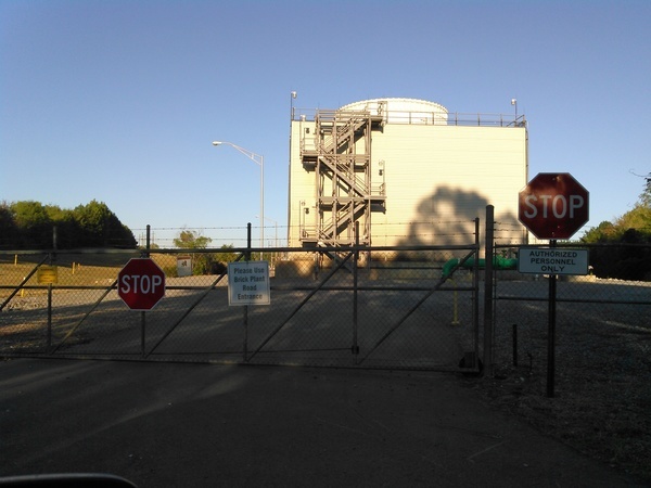
Please use Brick Plant Road Entrance, Hillabee Power Plant, 33.0002552, -85.9073079
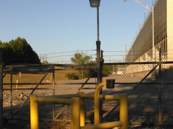
Side of Hillabee Power Plant, 33.0004810, -85.9073100
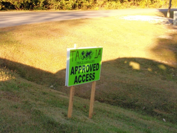
TA-1A, Price-Gregory, Approved Access, 33.0044130, -85.9074880
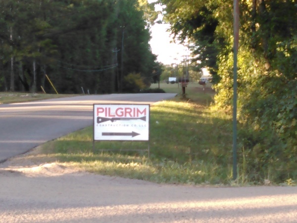
Pilgrim Construction Co. LLC, 33.0046960, -85.9073870
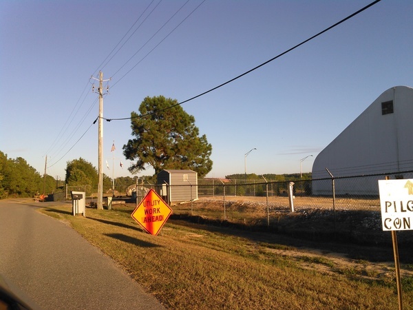
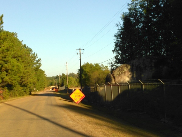
Pilgrim Construction, tent, Utility Work Ahead, 33.0044890, -85.9057080
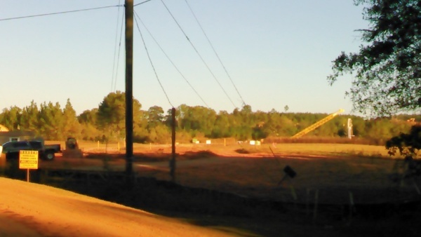
Sabal Trail, Hillabee Power Plant, Exelon Corp., Brick Plant Rd., 33.0045260, -85.9051100
Entrance gate, Hillabee Power Plant, Brick Plant Rd., 33.0041260, -85.9046790
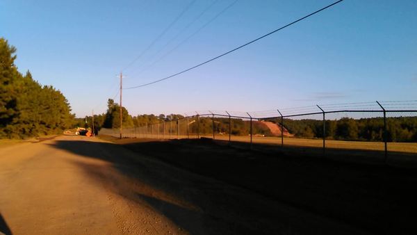
Sabal Trail from Hillabee Power Plant, 33.0043740, -85.9047180
Sabal Trail, power line RoW, 33.0033530, -85.8996180
Utility Work 1500 feet, Brick Plant Rd., 33.0045840, -85.9041730
Movie: Hillabee Power plant to Sabal Trail (56M), 33.0046030, -85.9031630
Construction end of Brick Plant Rd., 33.0045540, -85.8996950
Construction entrance, Brick Plant Rd., 33.0047070, -85.8995550
Transco pipeline RoW, Campground Rd., 33.0006480, -85.9074380
Truck passed 3 times and tailed us for miles, 32.9872040, -85.9209140
Short Link:


Pingback: Rush Hour Rally at FPL HQ to Stop Sabal Trail Pipeline 2016-10-14 | WWALS Watershed Coalition