Update 2016-10-23: Aerial photography and videos: US 84 HDD Withlacoochee River Sabal Trail 2016-10-22: what is that yellow thing in the river, and is that round thing you’ve marked a sinkhole?
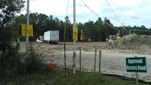 Where would you guess Southeast Directional Drilling is based?
Nope: Arizona.
And the TRW truck has a Texas license plate.
So much for local jobs where Sabal Trail is preparing to drill
under the Withlacoochee River in Lowndes and Brooks Counties, Georgia,
between Valdosta and Quitman.
Here is a playlist of WWALS videos, followed by a google map, and still pictures:
Videos by John S. Quarterman for WWALS Watershed Coalition, Inc., CC BY 3.0 US.
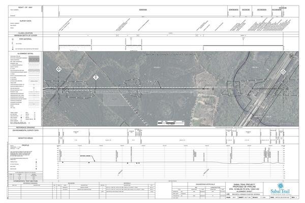
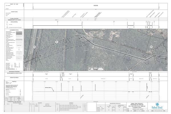
Below are Sabal Trail’s alignment maps for this area, followed by a google map, followed by pictures taken today mostly at Martin Lane in Lowndes County, on US 84 crossing the Withlacoochee River, and near the access road in Brooks County, GA.
-jsq
PS: Sabal Trail also plans to drill under the Suwannee River in Florida, the Santa Fe River, and the other Withlacoochee (south) River that flows from the Green Swamp through Florida to the Gulf. See the Sabal Trail maps of all the river crossings.
You can join this fun and work by becoming a WWALS member today!
Sabal Trail alignment maps
Among those Sabal Trail filed with FERC as Accession Number 20160407-5081, “Sabal Trail Transmission, LLC submits its Implementation Plan—Supplemental Information for the Sabal Trail Project under CP15-17.”
Update 2016-10-10: All 527 of those alignment maps are now available in small, big, huge, and PDF formats, courtesy of Lowndes Area Knowledge Exchange (LAKE).
Click on any small map for a bigger map.
Withlacoochee River HDD, Brooks Co. & Lowndes Co., GA
U384 & Withlacoochee River HDD, KMI Pipeline, Lowndes Co, GA
Google map of pictures
Follow this link to the google map, and it’s also embedded below.
Photographs of Sabal Trail preparations for Withlacoochee River, GA HDD 2016-10-05
Pictures by John S. Quarterman for WWALS Watershed Coalition, Inc., CC BY 3.0 US.
Click on any small picture for a bigger picture.
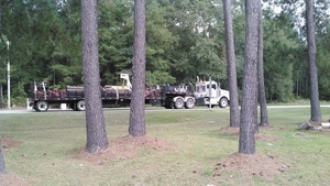
Truck of pipeline equipment, Ousley Rd., 30.7941830, -83.4305280
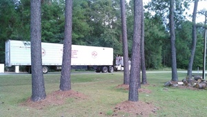
Southeast Directional Drilling Truck, Ousley Rd., 30.7941830, -83.4305280
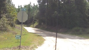
Approved Access Road, Martin Ln., 30.7909450, -83.4438320
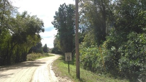
Weight Limit 10 Tons, 30.7889110, -83.4448280
Movie: Pipeline destruction seen through woods, 30.7881640, -83.4456830
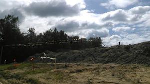
Movie: Pipeline berm on Martin Lane, 30.7879500, -83.4457400
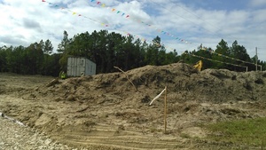
Dirt piled under power lines and SDD truck, 30.7873010, -83.4457610
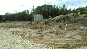
Movie: Berm back to incoming truck, 30.7875310, -83.4457680
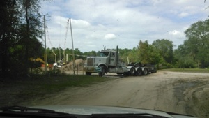
Equipment trucks, 30.7873010, -83.4457610
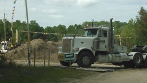
TRW truck, 30.7873010, -83.4457610
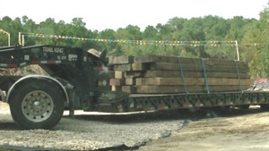
TRW Trail King TL-297, 30.7873010, -83.4457610

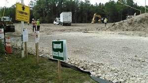
Approved Access Road, CAUTION, No Trespassing, 30.7873010, -83.4457610
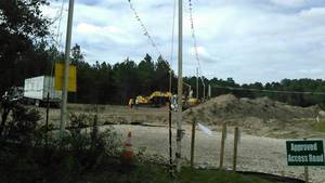
Movie: Southbound path of destruction, 30.7871840, -83.4460260
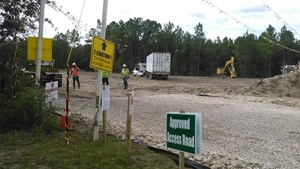
One STT orange jacket, 30.7873010, -83.4457610
Movie: STT handshake, 30.7873090, -83.4458430
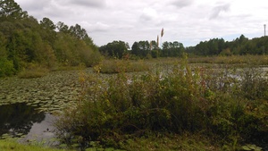
Tiger Creek, Martin Ln., 30.7886420, -83.4450920
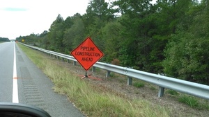
Pipeline Construction Ahead, US 84, 30.7940030, -83.4492600
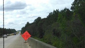
Be Prepared to Stop, US 84, 30.7936170, -83.4535900
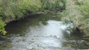
Withlacoochee River US 84 bridge upstream to pipeline crossing, 30.7936260, -83.4535300
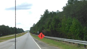
Halt icon sign, US 84, 30.7935520, -83.4547780
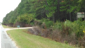
Approved Access Road off US 84, Brooks County, 30.7932470, -83.4587210
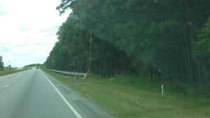
Survey equipment at access road off US 84, Brooks Co., 30.7931730, -83.4595620
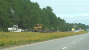
Pipeline equipment off US 84 into access road, Brooks Co, 30.7928590, -83.4597130
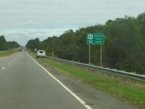
SDD survey truck, US 84 Wiregrass Parkway sign, Lowndes Co., 30.7935123, -83.4514273
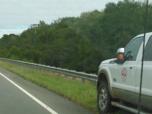
Southeast Directional Drilling logo, US 84, Lowndes Co, 30.7935490, -83.4513470
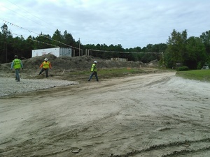
Pipeline truck in trouble on dirt Martin Ln., 30.7873760, -83.4456530
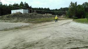
Movie: Go help pipeline truck on dirt Martin Ln., 30.7876230, -83.4457790
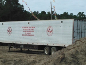
Southeast Directional Drilling, 3117 North Cessna Ave., Casa Grande, AZ 85122, 520-423-2131, www.southeastdrilling.com, 30.7874200, -83.4458830
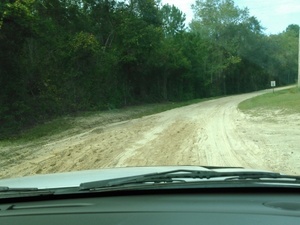
Martin Ln. churned by pipeline truck, 30.7881100, -83.4456880
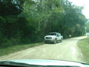
SDD pickup on Martin Ln., 30.7883190, -83.4455640
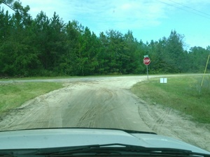
Pipeline truck tracks, Martin Ln., 30.7909100, -83.4439420

Pipeline truck, Ousley Rd., US 84, Texas 069C-603, 30.7949740, -83.4308580
Short Link:

Pingback: HDD equipment truck at Withlacoochee River Lowndes County Sabal Trail site | WWALS Watershed Coalition
Pingback: Rush Hour Rally at FPL HQ to Stop Sabal Trail Pipeline 2016-10-14 | WWALS Watershed Coalition