
Sabal Trail caused a sinkhole at the HDD site in Lowndes County, in addition to
 the frac-out under the Withlacoochee River previously discovered by WWALS,
plus a bunch of other sinkholes or “depressions” they just reported today.
They say they discovered the HDD site sinkhole the day after they told FERC
there was no sinkhole at what appears to be exactly the location they now,
four weeks later, say is a sinkhole.
the frac-out under the Withlacoochee River previously discovered by WWALS,
plus a bunch of other sinkholes or “depressions” they just reported today.
They say they discovered the HDD site sinkhole the day after they told FERC
there was no sinkhole at what appears to be exactly the location they now,
four weeks later, say is a sinkhole.
FERC Accession Number: 20161202-5137, “Sabal Trail Transmission, LLC submits it Biweekly Status Report for the Sabal Trail Project under CP15-17,” page 12, Depression Features and Mitigation Log, Pipeline — part of an horizontal direction drill:
| Spread | Milepost | Feature Description |
Date Identified
in Field | Comments | Final Mitigation Recommendation |
|---|---|---|---|---|---|
| 3 | 231.5 | Withlacoochee River/Hwy 84 HDD — A sinkhole developed approximately 165 feet southeast of the HDD exit point along the HDD alignment. | 11/5/2016 | The sink hole area has been roped off and GeoEngineers are monitoring with HDD. | As already implemented, restrict access along the HDD alignment and continue to monitor the ground surface and Withlacoochee River along the HDD alignment for indications of additional inadvertent drilling fluid returns surfacing during reaming operations. A remediation plan will be developed following completion of the pull back activity. |
Assuming they’re drilling from the Brooks County side of the Withlacoochee River, where they have pipe laid out, “the HDD exit point” must be at the Martin Lane site in Lowndes County. On October 24th 2016 WWALS asked FERC, “is that round thing a sinkhole at Sabal Trail Withlacoochee River HDD Lowndes County?” WWALS illustrated the question with this WWALS aerial picture from October 22nd 2016:
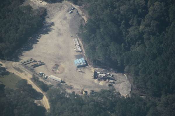
Closeup: is
that round thing a sinkhole at Sabal Trail Withlacoochee River HDD Lowndes County? 30.7875350, -83.4459860
On November 4th 2016 Sabal Trail in its Biweekly Report said in response to a previous question from WWALS:
Questions: Is that marked circular area a sinkhole? If it is not a sinkhole, what is it? Why is it marked? Has Sabal Trail reported a sinkhole or other anomaly at the location to FERC or to other relevant agencies such as the U.S. Army Corps of Engineers, the Georgia Environmental Protection Division, or Lowndes County?
Response: No, this is not a sinkhole so there is nothing to report to the agencies. This is an area with multiple power poles where safety fence has been installed around it in a circular shape to ensure a safe working distance from the power poles.
You can clearly see in the aerial there is no power pole where the circular fence is.
Martin Lane runs north and south, so the HDD site is northwest of the entrance to the site, towards the lower right of the aerial. As a reference point, the Southeast Directional Drilling semi-trailer (actually from Arizona) does not appear to have been moved since the aerial. A typical semi-truck trailer is 80 feet long, so you see a bit more than twice that trailer length is how how far that round roped area is from the drill site.
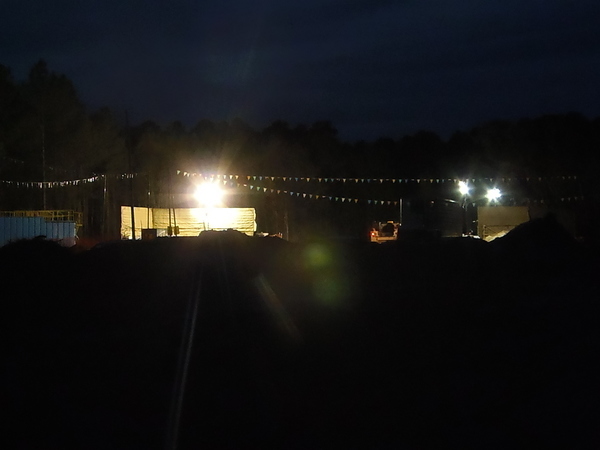
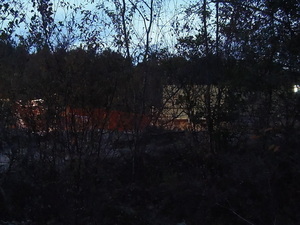
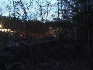
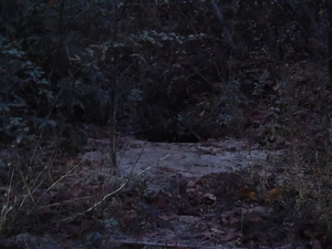
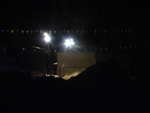
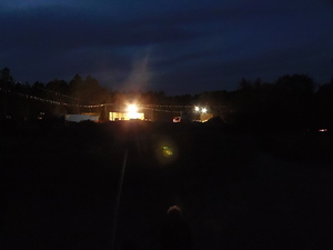
These pictures were taken today about 6PM from Martin Lane, about at the left edge of the aerial, looking NNW across the apparent location of the round roped area to the HDD drill site. You can see what looks like the rope or safety fence in front of the drill site.
Context looking NNW from Martin Lane

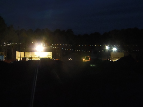
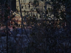
Closer
Safety fence in front of drill site with people
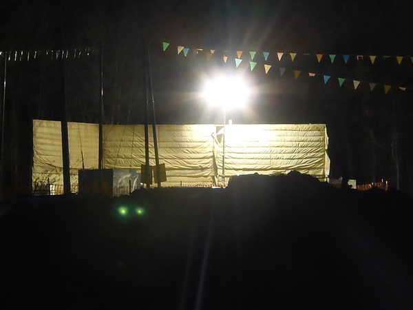
Orange safety fence in front of drill site
It’s hard to be sure because of the dirt berm close to the road, but it sure looks like Sabal Trail “discovered” the day after they said that wasn’t a sinkhole that it actually was. And then they took four weeks to get around to reporting it.
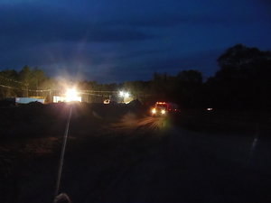
We also took some pictures (see below) from farther north on Martin Lane, where it starts to curve to the east. We were followed up there by a private car, from which emerged a man in a Georgia State Patrol uniform. He said he was being paid by the pipeline company. He’s local and was quite courteous, so I don’t want to say much more, except that this is the first time we’ve encountered any sort of law enforcement in our numerous visits to this site. He did ask later if he could take a picture of the name badge I was wearing that says John S. Quarterman, President, WWALS Watershed Coalition. I said yes, I want them to know I was there. Hi, Andrea Grover! Yes, we’re watching, from the land, the water, and the air, from Alabama, Georgia, and Florida.
-jsq
You can join this fun and work by becoming a WWALS member today!
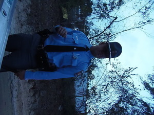
State Patrol uniform, private car, guarding Arizona drilling company at Sabal Trail HDD
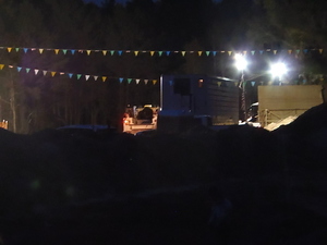
Berm, fence, structure
NW from Martin Lane: drill site, berm, fence, structure
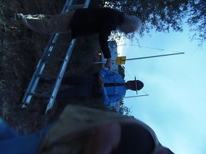
He didnt like the ladder
A small sinkhole in the side of the road?
Structure thats been there a while
Water truck
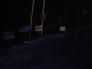
Sabal Trail No Trespassing
Structure
Context looking NNW from Martin Lane

Closer

Safety fence in front of drill site with people
Orange safety fence in front of drill site
Drill truck
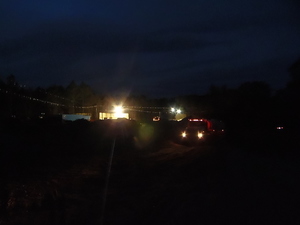
Likely sinkhole and drilling area behind water truck
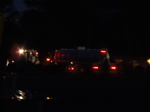
Water truck turning in
Short Link: