Update 2015-03-10:
Prizes to high school logo contest winners Saturday at Alapaha River Water Trail Conference.
Florida noticed the ARWT logo contest.
 Joyce Marie Taylor, Jasper News, 19 January 2015,
HamCo: High school student logo contest for Alapaha River Water Trail by WWALS,
Joyce Marie Taylor, Jasper News, 19 January 2015,
HamCo: High school student logo contest for Alapaha River Water Trail by WWALS,
HCHS [Hamilton County High School] invited to participate
Valdosta, Ga.— Willacoochee, Withlacoochee, Alapaha, Little River
System (WWALS) is excited to announce a contest among high school
students in Echols, Lanier, Lowndes, Berrien, Atkinson, and Tift
Counties in Georgia, and Hamilton County, Fla. to design a logo for
the Alapaha River Water Trail. The logo will be used on the Water
Trail website, on promotional brochures, and on information at
access points along the river that will be posted on kiosks.
Our judges for the contest include:
The rest is verbatim from
The WWALS press release of 14 January 2015.
-jsq


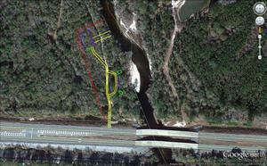


 These pictures are by John S. Quarterman; others to follow of


