Update 2022-07-06:
Still clean: Withlacoochee River 2022-07-05.
Turns out Valdosta did test during the holiday weekend, Friday, Saturday, and Sunday.
They finally posted their Friday results on their website yesterday.
Saturday and Sunday we know because Madison Health sent them to WWALS.
There is nothing about them on Valdosta’s own website, facebook, or twitter.
A report of Valdosta’s Thursday sewage spill finally did show up in
GA-EPD’s Sewage Spills Report, but it is lacking key information.
These Valdosta results mostly match what WWALS found through the weekend.
So by the most recent WWALS and Valdosta results, the Withlacoochee River is clean again.
The three different contamination sources from Thursday
seem to have all gotten diluted.
The other two were probably agricultural, including the usual cattle manure down Okapilco Creek from Brooks County, Georgia.
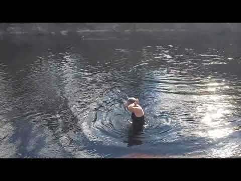
Happy boating, swimming, and fishing.
There was some heavy rain last night just north of Valdosta, so conditions could change rapidly.
However, we’ve already had the first flush after the recent dry spell, so I’d guess the rain won’t have much effect on river water quality. Continue reading →

![[Permit & Map]](https://www.wwals.net/pictures/2018-08-30--permits/ray-city/2022-08-31--ray-city-reissue/many.jpg)
![[Movie: Full immersion swimming, 16:30:59, 30.6006764, -82.6839565 (161M)]](https://www.wwals.net/pictures/2022-03-05--fargo-downstream-suwannee-river/20220305_163101.jpg)


![[Two pages]](https://www.wwals.net/pictures/2022-06-07--ga-epd-tpm/many.jpg)
![[Chart, River, Swim Guide 2022-06-30]](https://www.wwals.net/pictures/2022-06-30--wq/many.jpg)
![[Gate.]](https://www.wwals.net/pictures/2022-06-30--valdosta-gornto-pump-station-spill-update/vmacocsoak_2092297436724-1-null.jpg)
![[Gate, sewage, people]](https://www.wwals.net/pictures/2022-06-30--valdosta-gornto-pump-station-spill-update/many.jpg)
![[Article]](https://www.wwals.net/pictures/2022-06-09--usace-okefenokee/many.jpg)
![[Both pages]](https://www.wwals.net/pictures/2022-05-02--ga-epd-adel-spectrum-air-permit/many.jpg)
![[In WLRWT Map]](https://www.wwals.net/pictures/2021-10-22--spectrum-energy-pellet-plant-adel/map-wlrwt.jpg)