 The U.S. Environmental Protection Agency proposes some new rules to
clarify Clean Water Act protection.
Some people and organizations have concerns about that,
and the EPA has now responded to those concerns.
Comment periods are still open for you to provide input directly to EPA
about the proposed rule.
The U.S. Environmental Protection Agency proposes some new rules to
clarify Clean Water Act protection.
Some people and organizations have concerns about that,
and the EPA has now responded to those concerns.
Comment periods are still open for you to provide input directly to EPA
about the proposed rule.
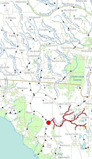
Here’s the EPA’s Waters of the United States Proposed Rule. EPA says clarification of the Clean Water Act was requested by a broad range of state, tribal, and local government agencies and elected officials and NGOs, ranging from AASHTO to the National Association of State Foresters. One of the two examples EPA cites of state enforcement problems is on the Flint River in Georgia:
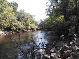
Recreation in Lake Blackshear, Georgia
Continue reading