Tag Archives: Madison Highway

Pictures, McIntyre and Arnold Springs, Nankin to Madison Hwy, Withlacoochee River 2016-07-09

Update 2024-02-29: Now with better picture format.

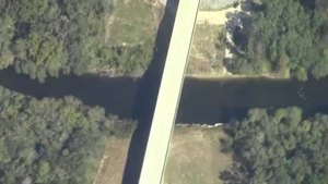
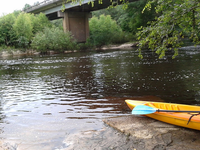
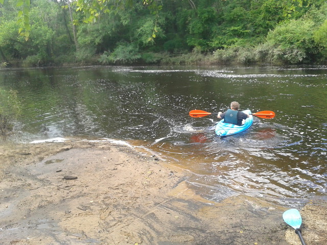
We found McIntyre Spring, and Arnold Springs, too, on the WWALS Withlacoochee River Outing from Nankin Boat Ramp to Madison Highway Boat Ramp, July 9th 2016. Swimming, snorkeling, karst, shoals, an abandoned railroad trestle, more shoals, State Line Shoals, old road bridge posts, dragonflies, and Halberdleaf rosemallow (Hibiscus laevis All.), unfortunately plus Chamber bitter.

[McIntyre Spring and State Line Shoals 2016-07-09]
McIntyre Spring and State Line Shoals 2016-07-09

Update 2017-05-13: On 2016-07-09, the US 84 Quitman gage showed about 1.75 feet (85.26 NAVD), and the Pinetta gage showed about 6.57 (53.08 NAVD). That’s a foot lower than June 22, 2013, when we thought that was already as low as you’d want to paddle.

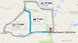
Here are a few videos, some pictures, and a google map showing where the pictures were taken.

 -jsq, John S. Quarterman, Suwannee RIVERKEEPER®

You can help with clean, swimmable, fishable, drinkable, water in the 10,000-square-mile Suwannee River Basin in Florida and Georgia by becoming a WWALS member today!
https://wwals.net/donations/

Videos

Here is a playlist of WWALS videos:
https://www.youtube.com/playlist?list=PLKwQ5xfKf-Qyed6eWPp4xcYNjZI-NMW-j Continue reading

Mozell Spells, Horn Bridge, GA-FL line, Withlacoochee River 2016-10-22

Movie: Horn Bridge, Mozell Spells, Withlacoochee River, GA-FL line (227K) Pictures and a movie clip from the air (thanks, Southwings!) of Mozell Spells, aka Madison Highway Boat Ramp, State Line Ramp (GA DNR) or GA 31 Ramp (SRWMD) or CR 145 Bridge Launch (FDEP).

This is one of two dozen public landings on the Withlacoochee and Little River Water Trail (WLRWT). It’s at the Georgia-Florida state line, and in the big picture (scroll down) you can see Continue reading

State line to Sullivan Launch, Withlacoochee River 2016-10-09

Sunday morning on the tea-colored Withlacoochee River in north Florida in fall: come join us!

Shuttle When: 10AM Sunday October 9th 2016

Put in: Madison Highway on the Georgia side, also known as GA 31 Ramp (SRWMD) or State Line Ramp (GA DNR) or CR 145 Bridge Launch (FDEP). 30.635933, -83.311103

Directions: Continue reading

Sabal Trail through Lowndes past Clyattville Elementary School

The invading pipeline would pass within about one mile of Clyattville Elementary School Railroad Ave. to Clattville Elementary School where it would cross Clyatt Mill Creek and then Railroad Avenue, at about 30.680638, -83.326501.

This would be after crossing the Withlacoochee River from Brooks into Lowndes Counties just north of US 84, and before crossing Jumping Gulley Creek and the state line into Hamilton County Florida, where the hearing was held in Jennings for WWALS v. Sabal Trail & FDEP.

You can see the general route in the Cover Map. After crossing the Withlacoochee River, Sabal Trail would cross Martin Lane and Tiger Creek, then Continue reading

Withlacoochee River from Nankin Landing to GA 31: WWALS June Outing 2013-06-22

A few pictures from today’s WWALS Outing on the Withlacoochee River from Clyattville-Nankin Road to GA 31, with 12 people in 8 boats (4 kayaks, 4 canoes).

Gage height, US 84 Quitman: 3.25 feet (86.75 feet NAVD 1988).

Withlacoochee River at Clyattville-Nankin Landing:

Withlacoochee River at Clyattville-Nankin Landing

Heather sets out:

Heather sets out

Continue reading