A paddle so brief we went past and had to float back
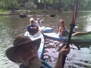 down the Withlacoochee River
to
where the Sabal Trail pipeline proposes to cross.
Winnie Wright of WCTV interviewed us at the US 84 bridge median while we were preparing to put in; don’t know if it aired.
Update 2015-08-28: WCTV story online.
See previous post for pictures of the put-in. It has everything: steep rocks, thorny Smilax vines, poison ivy, and wasp stings! Yes, this is one of the access points on the Withlacoochee and Little River Water Trail WWALS is developing.
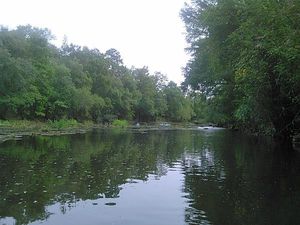 Yes, we are looking for an easier access point.
We have some leads, but if you have access or ideas, let us know.
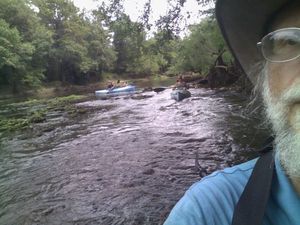
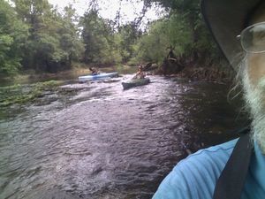
Meanwhile, once you get past the rocks in the river right at the put-in, it’s easy paddling upstream, even though the water level according to the nearby USGS US 84 gage was about 1.8 feet (85.3′ NAVD88).
On the rocks 30.7947578, -83.4529342
 There were some remarks about we could have used more water.
Naturally rain the very next day shot the water level up to 4.5 feet Saturday
and 5 feet Sunday.
But Friday there was getting out and pulling boats up on these rocks upstream.
One of our party capsized and lost her shoe.
She will remain nameless, at least until we give her the Best Sport award
for being cheerful throughout.
And she found her shoe as we went back downstream.
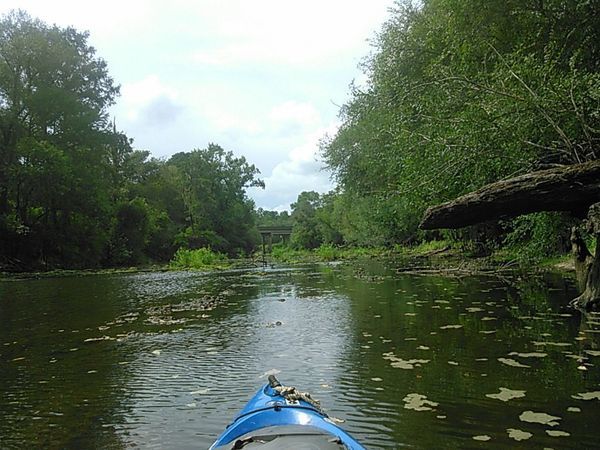
Looking from the proposed pipeline crossing to the US 84 bridge 30.7955398, -83.4526749
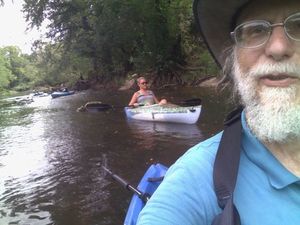
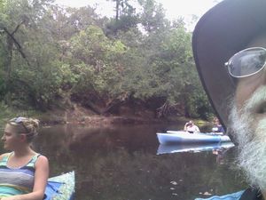
We went back downstream because the proposed pipeline crossing is so close to the US 84 bridge you can see it from there. Yep, we went too far and need to float back downstream a bit.
WWALS at the proposed Sabal Trail pipeline crossing 30.7955398, -83.4526749
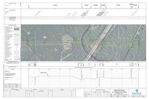 The proposed Sabal Trail crossing appears to be at about
30.795273, -83.452722.
WWALS later that same day did file an amended petition against a proposed FL-DEP permit for Sabal Trail to drill under the Suwannee River in Florida.
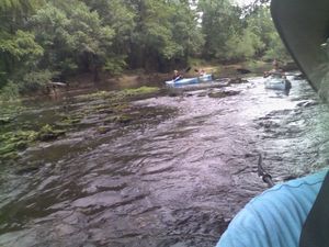
Down the rapids is easier than up 30.7954483, -83.4526749
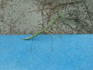
Walking stick 30.7935219, -83.4525223
There were more interesting things on the highway median above the put-in, such as this quite large walking stick, probably 2.5 inches long.
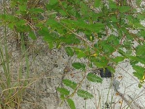
Here’s some native Partridge pea (Chamaecrista fasciculata), which is good for wildlife such as bobwhite quail. That’s rather like a WWALS Water Trail, which is good for wildlife and people.
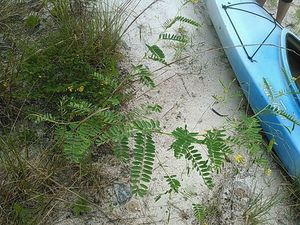
And here’s some exotic invasive Chamber bitter (Phyllanthus Urinaria), which nothing eats. It grows ten or fifteen feet tall and crowds out native vegetation. Hm, that would make it much like an invasive exotic fracked methane pipeline.
Blue Springs Road closed to Spook Bridge 30.7908344, -83.4440613
Julie wanted to know if you could still go down Old Quitman Highway to Spook Bridge (the old closed highway bridge just south of US 84 and the railroad). Nope, there’s a gate where it becomes Blue Springs Road as Martin Lane branches off. And you can’t go all the way down Martin Lane to the SONAT pipeline right of way, either (the proposed Sabal Trail drilling under the river would come up on the other side of SONAT).
Upcoming Outings
This Friday paddle was a WWALS Field Trip with a few people to get a few pictures. Don’t forget these actual WWALS outings:
- 7PM Saturday 29 August 2015: Banks Lake Full Moon Paddle: bring bon-bons! That one was rained out.
- 9AM Saturday 26 September 2015, Alapaha River Cleanup @ GA 135
- Saturday 3 October 2015, WWALS will help with VSU anthro club kayaktivism day which it looks like may also be a site on the KLVB Rivers Alive cleanup
- 9AM Saturday 24 October 2015, Sullivan Launch to Blue Spring, Withlacoochee River
- 9AM Sunday 22 November 2015: Suwannee River Paddle, Cypress Creek Launch to Cone Bridge Boat Ramp; details to come
- 10 AM Saturday 12 December 2015, Grand Bay Hike; detils to come
Watch the WWALS calendar for details and more outings and events as they are posted.
-jsq
You can join this fun and work by becoming a WWALS member today!
Short Link:





Pingback: No need for this pipeline. Solar power is what we should be doing. –WWALS on WCTV 2015-08-28 | WWALS Watershed Coalition
Pingback: Valdosta rains sewage down Sugar Creek into Withlacoochee River 2015-08-28 | WWALS Watershed Coalition
Pingback: WWALS at Valdosta-Lowndes Tourism Authority 2015-09-22 | WWALS Watershed Coalition