
Update 2025-10-13: replaced by a post in better image format.
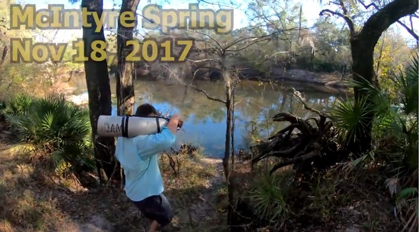
Tires and trash cleaned up at Nankin Boat Ramp, swimming and diver tales at McIntyre Spring, a creek, karst, shoals, and rapids, into Florida and back to Georgia all downstream, Valdosta Railway Trestle, Madison County Four Freedoms Trail, and exotic invasive Japanese Climbing Fern, all on a fall day on the Withlacoochee River with WWALS Watershed Coalition, Suwannee Riverkeeper. Thanks to all who came to paddle from as far as two hours from Gainesville, Florida and four hours from Pine Mountain, Georgia.
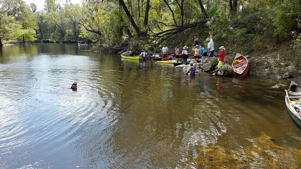
The Quitman (US 84) Gauge was at about 2.6′ (86′ NAVD88).
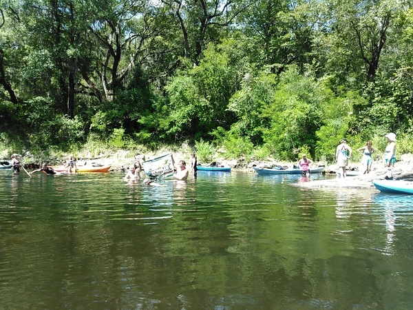
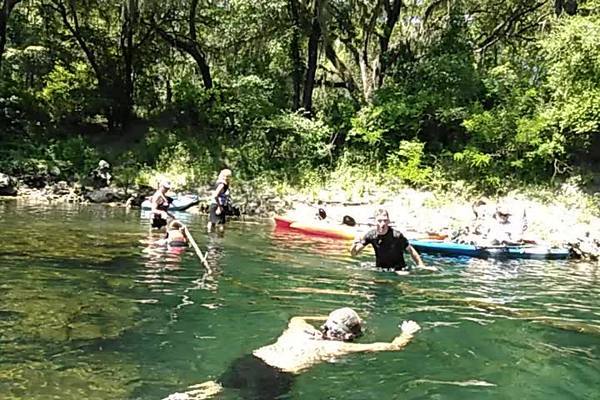
Here are some pictures.
This post is just the first part; more pictures will follow are posted with
diving
and
landowners
at Arnold Springs,
Old Clyattville Road Bridge
Horn Bridge,
and
Mozell Spells (State Line Ramp).
and a
Google Map,
and a few videos are still to come.
These are some of our many favorite spots on the Withlacoochee and Little River Water Trail.
Watch wwals.net for more outings are they are announced, or the WWALS outings and events web page. We have outings at least once a month.

![[McIntyre Spring and State Line Shoals 2016-07-09]](https://www.wwals.net/pictures/2016-07-09--nankin-ga-fl-line/igmany.jpg)
