Update 2017-08-31: More maps and other information in the Phosphate Mining page.
Update 2017-08-30: Follow this link for a proposed new and much better mining areas map.
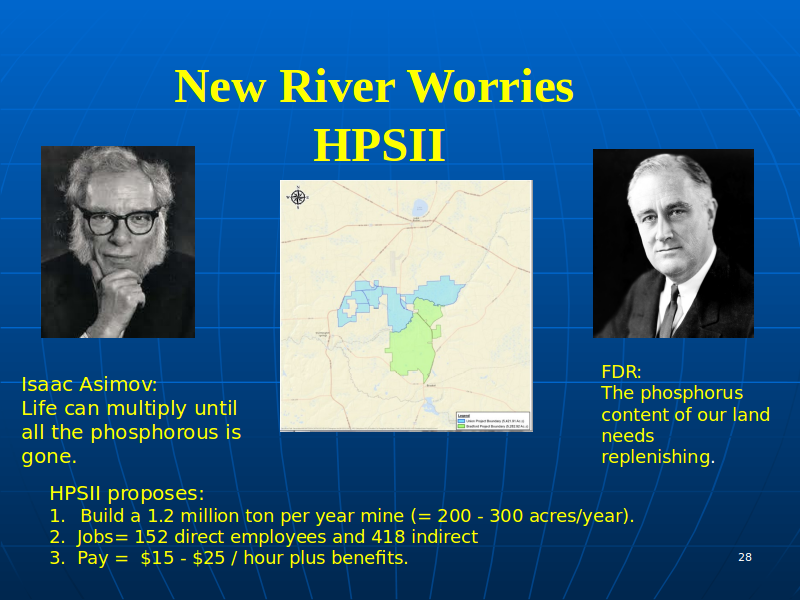
Here are copies of the original searchable and high resolution PDFs of the three main items presented by NCFRPC (a slide presentation, the evaluation amendments, and a draft mining text amendment) at the Union County Comprehensive Plan workshop Monday 21 August 2017.
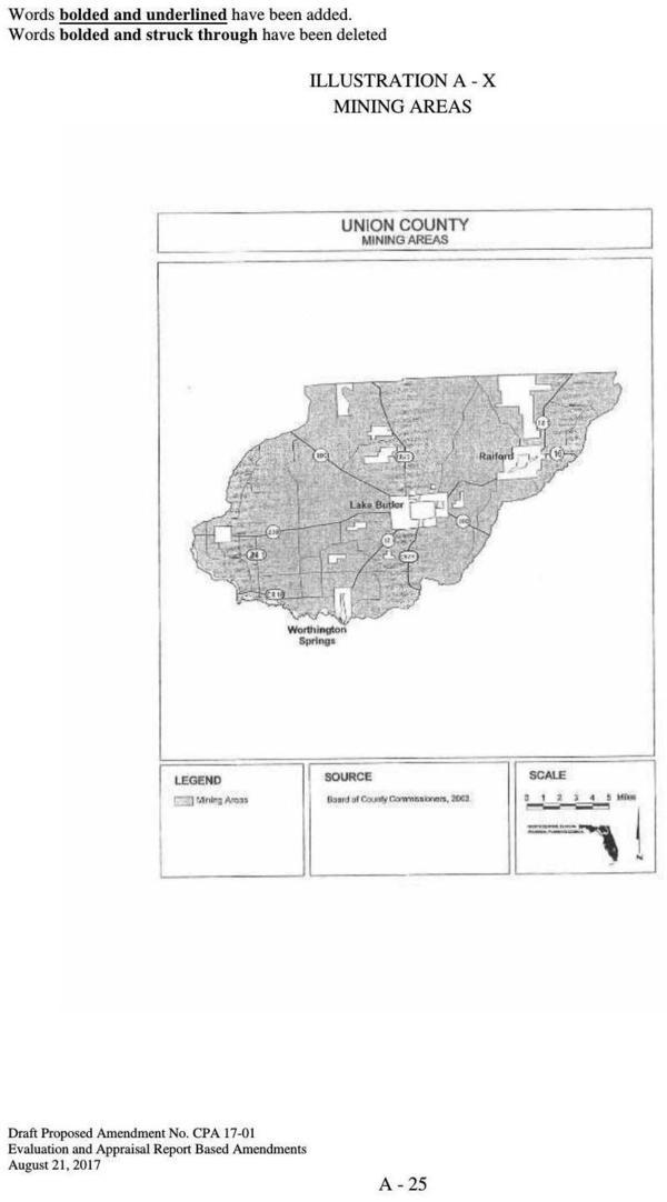
Illustration A-X: Mining Areas on page A-25 of the
Evaluation Amendments.
PDF of this page.
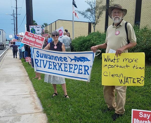
Thanks to Scott R. Koons, Executive Director, North Centra Florida Regional Planning Council, for sending these documents in response to a public records request from Suwannee Riverkeeper.
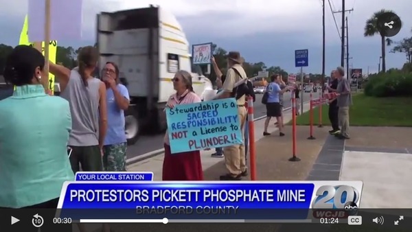
The documents are (with links to the PDFs): Continue reading