Hahira, Georgia, March 31, 2026 — Send in your song starting April First, no fooling! You can send songs until August 12, 2026, for the Ninth Annual Suwannee Riverkeeper Songwriting Contest.
![[Entry Form Banner 2026 SuwRK Songwriting Contest Trim]](https://www.wwals.net/pictures/2026-03-31--song-submissions-suwrk-songwriting/big/Entry-Form-Banner-2026-SuwRK-Songwriting-Contest-trim.jpg)
Entry form: https://forms.gle/fihLNVC2xbD1SXBB6
Finalists will be selected by the organizing committee, and will perform their songs at the WWALS River Revue sit-down fundraising dinner. That will be Saturday, September 12, 2026, 5-9 PM, at the Lowndes County 4-H Club, 6100 4-H Club Road in Lake Park, Georgia 31636.
There will be food, drink, speakers from Georgia and Florida, a silent auction, and the music of a headliner before the Songwriting Contest Finalists play.
“More fun than you can have anywhere off the water!” said WWALS Board member Scotti Jay.
We like songs about issues, nature, history, fun on the water, or community, or whatever tickles your fancy.
For the first time we’re including the Santa Fe River Basin. We used to exclude that Basin, because Our Santa Fe River (OSFR) had a songwriting contest for it. OSFR is not doing that anymore.
Merrillee Malwitz-Jipson, who invented that contest, will do one next year by Rum 138, her outfitter. But she recommends WWALS include the Santa Fe Basin in our Suwannee Riverkeeper Songwriting Contest, “As a result of JEA wanting to send treated wastewater from Jacksonville into the Suwannee River Basin, give us your best songs.”
If you don’t know what she’s referring to, see: Continue reading
![[Atsena Otie Key paddle, Cedar Key Public Beach, Levy County, FL, Saturday, April 4, 2026]](https://www.wwals.net/pictures/2026-04-04--cedar-key-paddle/fbmany.jpg)
![[Water, Wildlife, & Wilderness: 4 NWRs of the Suwannee --Larry Woodward, Okefenokee, Banks Lake, Lower Suwannee, Cedar Key, WWALS Webinar 2024-11-21]](https://www.wwals.net/pictures/2024-11-21--water-wildlife-wilderness-nwrs-video/fbmany.jpg)
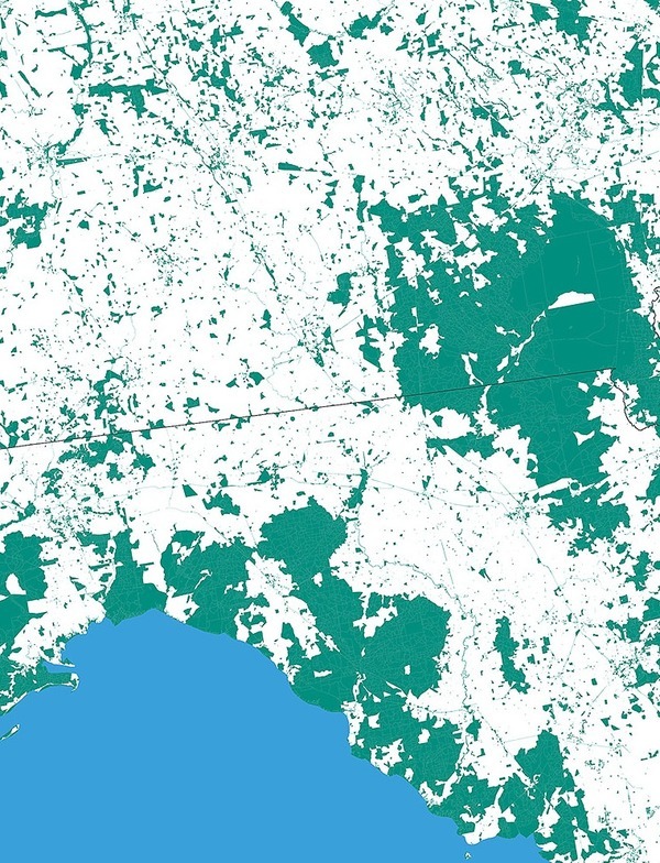
![[Waterkeepers Florida Territories Map plus FDEP Territories and Disaster Map]](https://www.wwals.net/pictures/2024-09-13--wkfl-map/many.jpg)
![[FGS N&R Madison Blue Spring]](https://www.wwals.net/pictures/2023-05-01--fgs-news-research/many.jpg)
![[Request letter and expanded territory approved 2019-09-26]](https://www.wwals.net/pictures/2019-07-17--add-santa-fe-to-suwrk-territory/many.jpg)