Update 2023-06-30:
Nominating Okefenokee NWR for UNESCO World Heritage List –WWALS 2023-06-28.
The U.S. National Park Service in January announced a 15-day comment period
for nominating sites to the UNESCO World Heritage List.
We nominated the Okefenokee National Wildlife Refuge,
using testimony from some of WWALS members.
I added the illustrations to this post of the WWALS nomination letter.
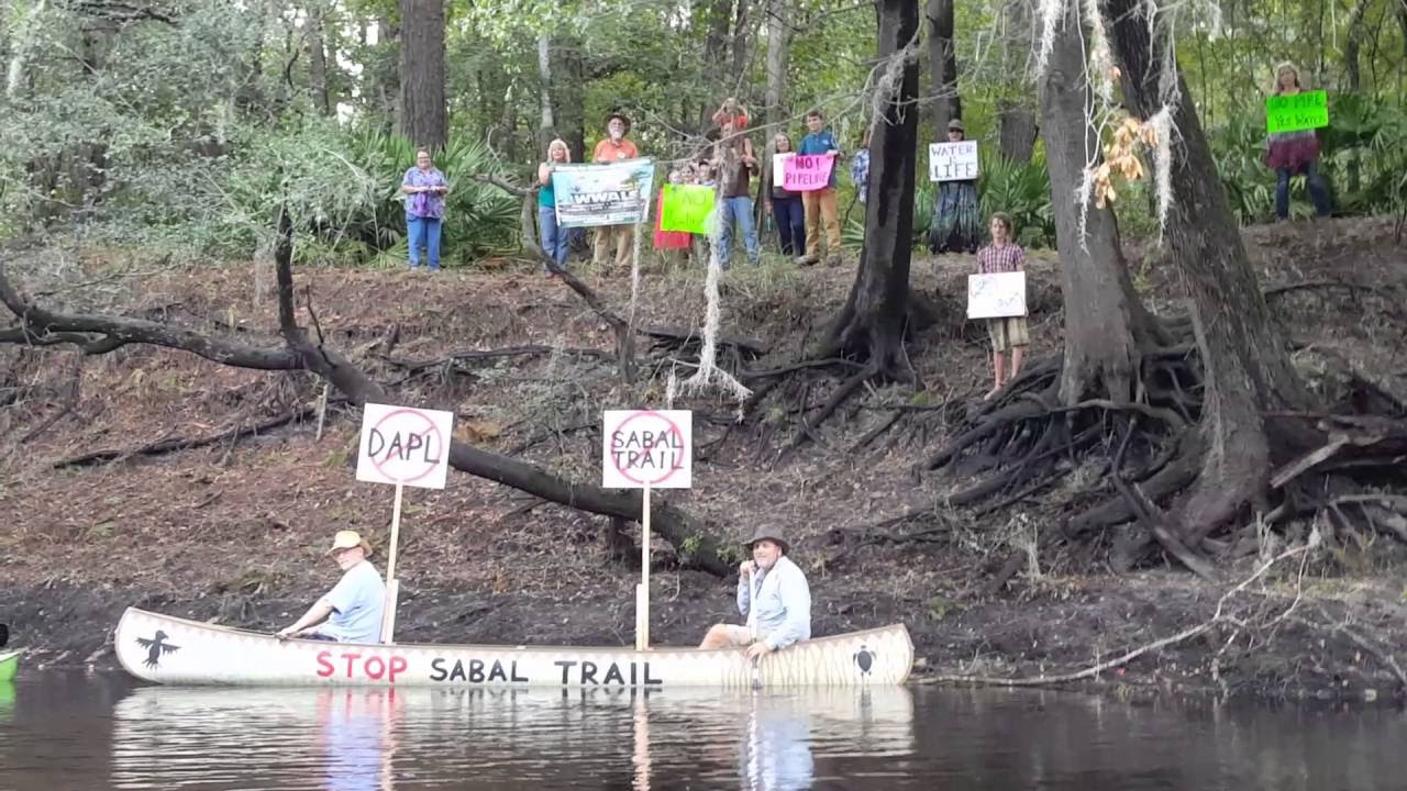
And you can still help stop the titanium strip mine from locating too near the Swamp.
![[Okefenokee Swamp, Suwannee River, birds, mine, paddlers]](https://www.wwals.net/pictures/2021-01-26--wwals-okefenokee-unesco/many.jpg)
Okefenokee Swamp, Suwannee River, birds, mine, paddlers
January 26, 2021
To: Jonathan Putnam
Office of International Affairs
National Park Service
1849 C Street NW
Washington, DC 20240
jonathan_putnam@nps.gov
(202) 354-1809
Re: Nominating Okefenokee NWR for UNESCO World Heritage List, Docket Number
NPS-WASO-OIA-31249 PIN00IO14.XI0000
Dear Mr. Putnam,
As you know, the Okefenokee National Wildlife Refuge (ONWR) is on
the UNESCO Tentative List for the United States, and thus is
eligible for the U.S. to submit an ONWR nomination file.
https://whc.unesco.org/en/tentativelists/5252/
![[Suwannee River in Okefenokee Swamp]](https://www.wwals.net/pictures/2021-01-26--wwals-okefenokee-unesco/map-onwr-suwannee-river.jpg)
Suwannee River in Okefenokee Swamp
in WWALS map of all public landings in the Suwannee River Basin.
The purple line is the approximate actual divide between the Suwannee and St. Marys River watersheds in the Swamp, still being worked out with St. Marys Riverkeeper.
As Suwannee Riverkeeper and for our umbrella organization WWALS
Watershed Coalition, Inc., I would like to encourage you to nominate
ONWR this year. The vast majority of the Okefenokee Swamp is in the
Suwannee River Basin, and some 85% of the outflow of the Swamp goes
down the Suwannee River, which continues through Georgia and across
Florida, where it is the subject of the state song, to the Gulf of
Mexico.
![[Okefenokee, Suwannee River, Gulf of Mexico]](https://www.wwals.net/pictures/2021-01-26--wwals-okefenokee-unesco/map-onwr-suwannee-gulf.jpg)
Okefenokee, Suwannee River, Gulf of Mexico
WWALS member Bobby McKenzie sums it up from his perspective:
“As a world traveler for the past 20 plus years I must say
that the Okefenokee Swamp holds its own when it comes to
enchantment. I never would have thought I would have used the term
enchantment to describe a swamp, but it happens to be the best one.
My adventures have taken me to many places, each with their own
charm and enchantment and history. I recall my first experience
outside the United States, it was to the Chagos Archipelago part of
the British Indian Ocean Territory. The crystal-clear waters of the
islands and the sanctity of the massive coconut crabs and the
hawksbill sea turtles. Soon I found myself living in South Korea and
experiencing the Buddhist temples embedded in the cliffs of the East
Sea (more well known as the Sea of Japan) and the fishing islands of
Sunyu-do in the yellow sea. At Jeju Island with its botanical
gardens, lava tubes, and extinct volcano, I ascended the stairs of
Mt Sanbanggulsa Temple where a spring drips from the ceiling pools
into the temple cave and had a ceremonial sip. Years living in
Europe showed me the awe of the Dolomites, the Carpathian Mountains,
the Iron Gates, the Danube Delta and the switchback road of
Transfagarasan. I have met the wonders of the Black Forest, I’ve
skied Mount Blanc, Matterhorn, and the Zugspitze and swam in the
ocean at Vilamoura in Algarve with its ocean caves. I dove the
cliffs of Ischia and enjoyed the hot thermal springs of the
Mediterranean. I’ve hiked miles through the Ardennes Forests and the
ancient vineyards along the Mosel River. I have witnessed the famed
White Cliffs of Dover, the puzzling Stonehenge, the North Sea,
English Channel, and the beaches of Normandy. My time in Hawaii
introduced me to the many natural phenomena such as the Makapu Tide
Pools, the Queen’s Bath at Moku Nui, and the Mermaid Caves in
Nanakuli. The pill boxes at Lanikai, Coco Head along with the Hidden
Lagoon offered breath-taking views of the island of Oahu.
![[Bobby McKenzie in canopy towards Floyd's Island]](https://www.wwals.net/pictures/2021-01-26--wwals-okefenokee-unesco/IMG_3887.jpg)
Photo: Gretchen Quarterman, of Bobby McKenzie in canopy towards Floyd’s Island 2020-11-07
“There are many places I that I can recall that I have not
mentioned. But all these places share one thing in common, they are
amazing places that most people have never heard of or will see in
their lifetime. They are all wonderous and inspiring places in their
own right. This is true with the Okefenokee Swamp. I first learned
of the Okefenokee as I was planning my move to South Georgia from
Hawaii. I was searching for outdoor activities and the first thing I
came across was a website talking about 120 miles of water trail and
multiple camping options in the swamp. I immediately wanted to do
this trip or at least a portion of it. I have since made a handful
of trips into the swamp and learned about the history of Billy’s
Island, the Sill, the timber operation and among other stories. My
most recent trip into the swamp was with the WWALS Watershed
Coalition. We paddled 8 miles out to camp at Floyds Island. The
entire journey was just so peaceful. However, when we made the turn
onto the green trail from Stephen C. Foster State Park, the swamp
became extraordinarily enchanting. The cathedral-like tunnel that we
paddled through for miles until we reached Floyd’s Island was like a
portal to a fairytale dimension. In many instances, the colors of
the fall, the canopy formation of the trees and the mirrored
reflections were hypnotizing, we could have paddled this natural
tunnel for hours and still want more. Upon reaching the camp site,
everyone in our party was just magically delighted about the
spiritual connection that the swamp bestowed upon us. The return
trip the next day was even more mesmerizing. I never would have
thought that I would have used the word enchanting to describe a
swamp, but it was just that. I am glad to add the Okefenokee Swamp
to my long list of must-see places. As with all of the places listed
above, I never knew that I needed to experience them until I did.
The Okefenokee is no different, it’s an enchanting place that you
never knew you needed to experience.” Continue reading →

![[Left: Troupville Boat Ramp; Right: YMCA, Statenville Boat Ramp]](https://www.wwals.net/pictures/2021-02-18--walb-river-level/many.jpg)
![[Spills, Locations]](https://www.wwals.net/pictures/2021-02-16--tifton-spills/many.jpg)
![[Chart, Gauges, Swim Guide map]](https://www.wwals.net/pictures/2021-02-16--wq/many.jpg)
![[Onemile Branch]](https://www.wwals.net/pictures/gretchen/2021-02-13--wwals-aas-wq-training/IMG_5723.jpg)
![[Adams Tract River Camp, map, Suwannee River Wilderness Trail]](https://www.wwals.net/pictures/2021-03-06--adams-tract-river-camping/many.jpg)
![[Summer, Winter]](https://www.wwals.net/pictures/2021-02-06--little-river-road-lowndes-county-acre/many.jpg)
![[Plates, Chart, Map]](https://www.wwals.net/pictures/2021-02-12--wq/many.jpg)
![[Chart, Swim Guide map]](https://www.wwals.net/pictures/2021-02-11--wq/many.jpg)