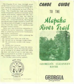
 Here’s a different guide to the Alapaha River from the
one WWALS previously received; this one is
courtesy of John Leonard, Executive Director of the
Southern Georgia Regional Commission (SGRC).
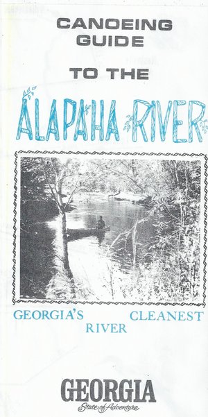
The
Alapaha River Water Trail WWALS is currently developing
is merely a continuation of this more than three decade old
Alapaha Canoe Trail.
Here’s a different guide to the Alapaha River from the
one WWALS previously received; this one is
courtesy of John Leonard, Executive Director of the
Southern Georgia Regional Commission (SGRC).
The
Alapaha River Water Trail WWALS is currently developing
is merely a continuation of this more than three decade old
Alapaha Canoe Trail.
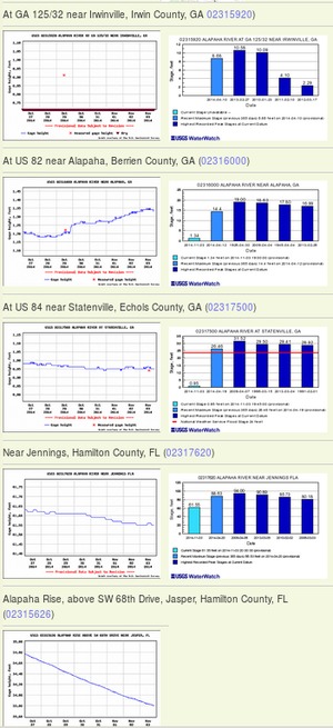
John Leonard said that when he started at the predecessor of the SGRC in 1980, calls came in frequently asking about water levels on the Alapaha River. It took him a while to realize why: the Alapaha River Trail had been written up in Southern Living! He did not have Continue reading