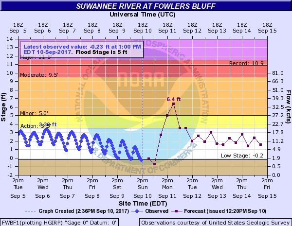
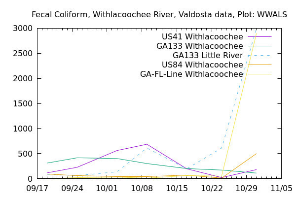
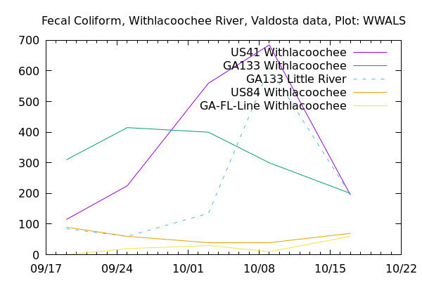
Was there rain Wednesday? That might explain the sudden spikes at US 41 on the Withlacoochee River, at GA 133 on the Little River, and at State Line on the Withlacoochee River. We can guess that the rains Thursday and Friday (today) have washed away whatever that very odd spike was at the state line.
Thanks to Valdosta Utilities and Valdosta City Clerk Teresa Bolden for sending this Wednesday’s Valdosta water quality testing data before the end of Friday. For more contact, see https://wwals.net/issues/vww/.
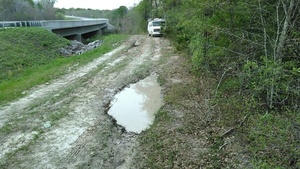
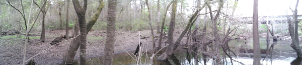
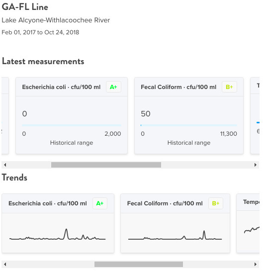
State Line, Withlacoochee River, Withlacoochee Basin
It’s a very odd spike, because Continue reading
![[Traffic light repair 15:20:18, 31.6363489, -84.2473075]](https://www.wwals.net/pictures/2018-10-11--hurricane-michael/traffic-light.jpg)