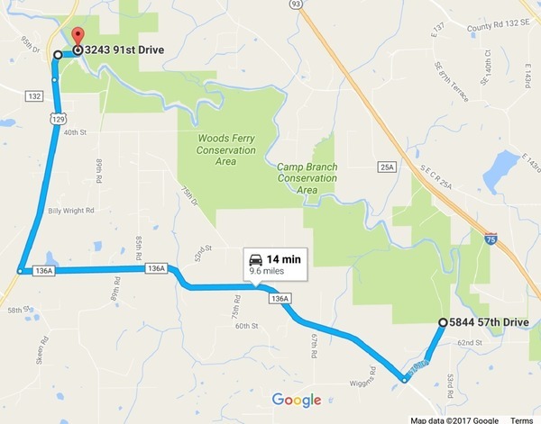
Yes, Hardee Spring is accessible by land, off of 34th Street NW, Jennings, Florida, aka Hardee Camp Road, but it’s on private land. It’s on one of four parcels totaling 305 acres, with 8,000 feet (1.6 miles) of river frontage and a lodge, which can be yours for a mere $8.5 million. Maybe Suwannee River Water Management District (SRWMD) should buy it, since SRWMD already owns the next properties upstream and downstream on the Withlacoochee River. Or maybe it should be turned into a state park. Or maybe somebody wants to donate it to WWALS for an office location.
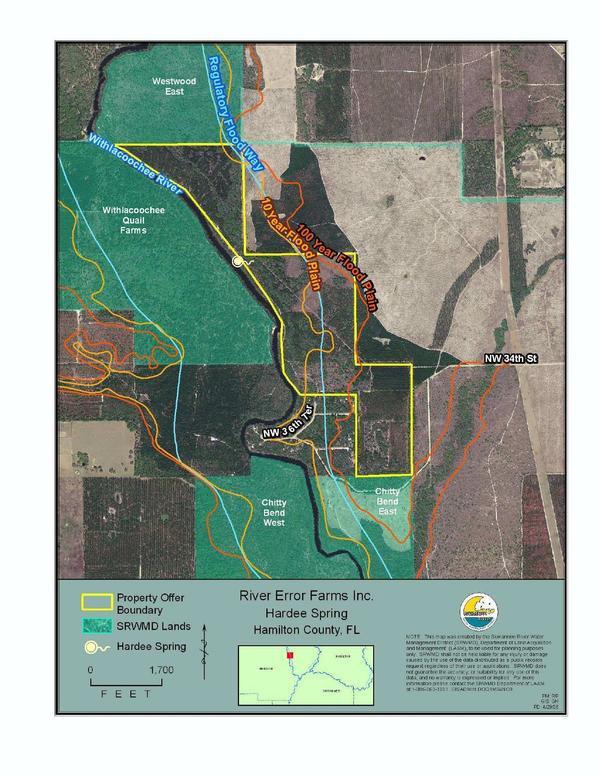
Map from SRWMD
PARCEL ASSESSMENT SUMMARY.