Good questions by Janet Barrow. Who has answers?
Janet Barrow
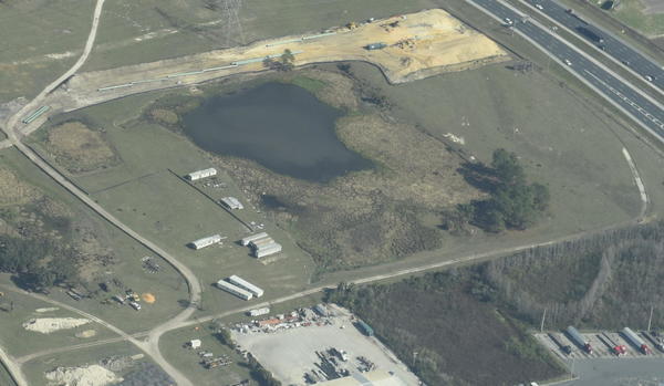
March 13, 2017 at 4:55 pmLook at the first photo — “Sabal Trail north from I-75 to the Withlacoochee (south) River.” This shows the hydrostatic discharge point for Spread 5 (at least the site they reported that they will use) and the withdrawal point for Spread 6. Coordinates are: 28°52’47.99″N, 82°5’39.69″W
Thanks to Mark Skogman’s long lens on the Southwings flight for WWALS, we can zoom in on that spot.
Janet Barrow
March 13, 2017 at 5:07 pmAlso, they show 9,710,000 gallons being discharged into this pond for Spread 5 and 7,200,000 gallons being withdrawn from this pond for Spread 6 hydrostatic testing. The Maximum Discharge Rate (gallons per minute) for these activities is 9,000 gallons per minute. Source: Resource Report 2, Water Use and Quality, Table 2.3-10 (November, 2014).
Does anyone have any new information about their hydrostatic testing water withdrawals and discharges? 9,710,000 gallons equals 30 acre-feet of water. This is about a 5-6 acre pond. Maximum discharge rate of 9,000 gallons per minute is quite a bit of force.
What are their other sites for other Spreads? Have they been investigating alternative sites? If so, where? How long does it take to expel the water from each test?
Seems like FDEP ought to be asking these questions, but since the permitting and regulatory agencies don’t seem to be doing that, we have to do it for them.
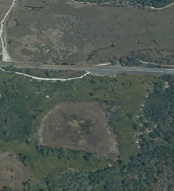
This pond southwest of Marion Oaks photographed by Jim Tatum on the same flight seems like a possibility that it might be being used for such purposes:
-jsq, John S. Quarterman, Suwannee RIVERKEEPER®
You can join this fun and work by becoming a WWALS member today!
Short Link:


Pingback: Gum Springs 3,000 feet from Sabal Trail and lower flow @ WWALS 2017-02-07 | WWALS Watershed Coalition (Suwannee RIVERKEEPER®)
Pingback: I-75 to Withlacoochee (south) River 2017-02-07 | WWALS Watershed Coalition (Suwannee RIVERKEEPER®)