
Update 2020-07-03: As amended and passed, Columbia County, FL, Parks Ordinance, No. 2020-08, 2020-06-18.
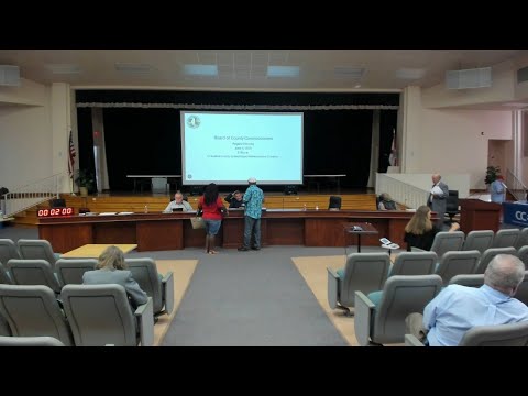
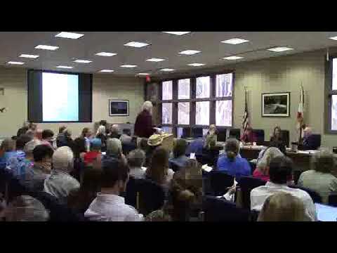
Tomorrow, Thursday, June 18, new rules for Rum Island Park will be voted on by the Columbia County BOCC. This park with its public boat ramp is a popular access to the Santa Fe River and its springs.
![[Cover Sheet]](https://www.wwals.net/pictures/2020-06-18--rum-island-park-ordinance/Rum-Island-Park-Ordinance-0001.jpg)
At the previous meeting in which they scheduled this meeting, Columbia County Commissioners were heard complaining about kayak and canoe outfitters being some sort of problem.
The greatly expanded definitions in the ordinance add permits, with a limit of a total of four permits for “regular commercial uses of parks or recreational facilities”. It’s not clear what “uses” means. Does that include dropping off customers at a public boat ramp? Parking outfitter vehicles? Other?
Presumably issuing permits for fees will affect later budgets. Note that the agenda sheet only says “This item has no effect on the current budget.”
You can comment if you attend, or you can send email beforehand; see below.
WWALS has no official position, although we will send a letter asking the BOCC to be sure such permits don’t interfere with Sec. 78-6(C):
“(C) Boats, including human-powered craft and boats of common horsepower motors, shall be allowed.”
So far as I know, Our Santa Fe River (OSFR) also has no official position.
When: 5:30 PM, Thursday, June 18, 2020
Where: Columbia County School Board Administrative Complex Auditorium, 372 West Duval Street, Lake City, Florida 32055
What: Special called meeting of the Columbia County Board of County Commissioners
Purpose: To adopt a Rum Island Park Ordinance within a broad Columbia County Park Ordinance that includes all of the recreational holdings of the county.
To comment:
Attend in person. Or send email to:
To: Board Secretary Penny Stanley <penny_stanley@columbiacountyfla.com>
Cc: County Attorney Joel Foreman <jforeman@columbiacountyfla.com>
Subject: Columbia County BOCC Park Ordinance
Thanks to Continue reading
![[Entry]](https://www.wwals.net/pictures/2020-06-16--santa-fe-ichetucknee-mfl-meeting/srwmd-calendar.jpg)
![[1 Plant]](https://www.wwals.net/pictures/2020-04-27--quiz4/1-plant.jpg)
![[Brown water with foam]](https://www.wwals.net/pictures/2020-04-28--suwannee-running-springs-ugly/94640759_3396438840380621_4931391628616138752_o.jpg)
![[Plant, Bird, Spring, Flower]](https://www.wwals.net/pictures/2020-04-27--quiz4/square.jpg)
![[Florida]](https://www.wwals.net/pictures/2020-04-09--fl-boat-ramps-status/florida.jpg)
![[Tifton to the Gulf]](https://www.wwals.net/pictures/2020-03-03--cleaner-wq/map-suwannee-gulf.jpg)
![[Nestle denial pulled from agenda]](https://www.wwals.net/pictures/2020-03-10--srwmd-agenda-no-nestle/2020-03-09--srwmd-notice-no-nestle-agenda-0001.jpg)
![[No to Nestle!]](https://www.wwals.net/pictures/2019-12-10--srwmd-videos/notonestle.jpg)
![[Map: Active and Proposed Withdrawal Points]](https://www.wwals.net/pictures/2020-03-10--srwmd-nestle/2020-03-10--srwmd-board-packet-0077.jpg)