The two days John Moran spent writing his talk paid off, along with the years of photographing what was and what is left of the waters of Florida. If you watch none of the rest of these videos from the Florida Bill of Rights for Nature, the three with John Moran’s talk are well worth your time.
Below are links to each WWALS video. I didn’t video everything; mostly a few speakers whom I had told in advance.
Doug Shields explains how he got the Pittsburgh, PA, City Council to be the first in the U.S. to ban fracking, and how it spread from there, and what that has to do with Rights of Nature.
Chuck O’Neal of WEBOR explains the three ways you can get a Bill of Rights for Nature passed in a Florida County, and how he did it in, Orange County
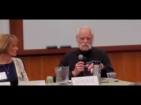
As already posted, David Moritz explains the one that may have started it all in Florida, Santa Fe Bill of Rights (SaFEBoR).
You should be able to follow the demonstration of Tools not working for Florida’s environment even if you don’t know FDEP from a WMD, or if you’re familiar with a different state or country. The problems are the same everywhere: laws, agencies, and rules rigged against nature. That’s why we need a Bill of Rights for Nature, in each county, state, and country. Continue reading
![[Tribal Grounds west along GA 94 to TPM equipment, 12:38:38, 30.5257540, -82.0411100]](https://www.wwals.net/pictures/2019-10-05--equipment-tpm/triba-grounds-to-TPM-equipment.jpg)
![[Good Withlacoochee]](https://www.wwals.net/pictures/2020-02-05--loco-wq/2020-02-05--composite-wq-results-by-wwals.jpg)
.png)
![[Jurisdictions-wkfl]](https://www.wwals.net/pictures/2020-02-07--wkfl-jurisdictions/jurisdictions-wkfl.jpg)
![[Overlap: Suncoast and Northern Turnpike Connector]](https://www.wwals.net/pictures/2020-02-12--m-cores-fanning-springs/overlap-map.jpg)
![[Dragline Yard Location Map]](https://www.wwals.net/pictures/2019-10-18--tpm-dragline-yard/2019.10.18-TPM-Response-to-Intend-to-Ltr-0003.jpg)