WWALS in the Ocilla Star Wednesday 13 February 2013, scan by Cindy Leighton:
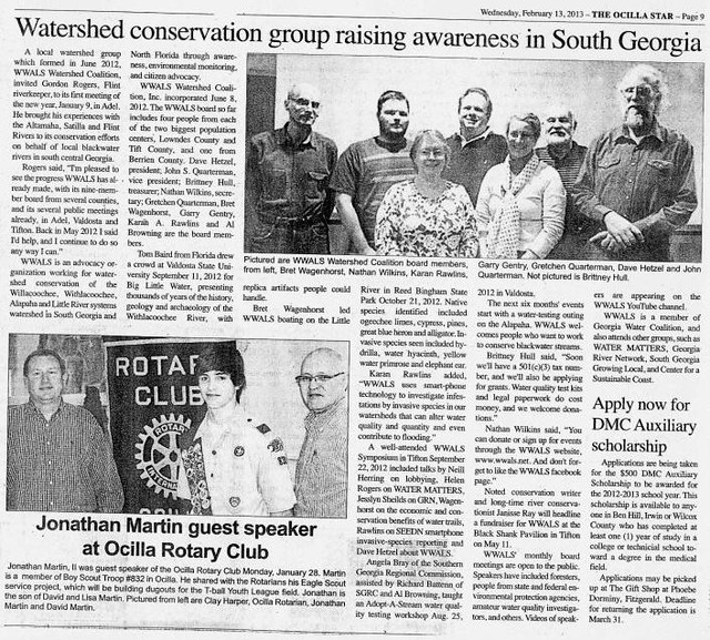
This is from the WWALS press release of 10 January 2013 that also appeared in Tifton Gazette 18 January 2013.

WWALS in the Ocilla Star Wednesday 13 February 2013, scan by Cindy Leighton:
This is from the WWALS press release of 10 January 2013 that also appeared in Tifton Gazette 18 January 2013.
Letter from WWALS to Lowndes County Commission, signed Friday, mailed Saturday; the hearing is 5:30 PM today 12 February 2013, 327 North Ashley Street 2nd floor, Valdosta, GA.

Lowndes County Board of CommissionersContinue reading
327 North Ashley Street
Valdosta, GA 31601
WWALS Watershed Coalition
www.wwals.net
Dear Lowndes County Commissioners,
 So
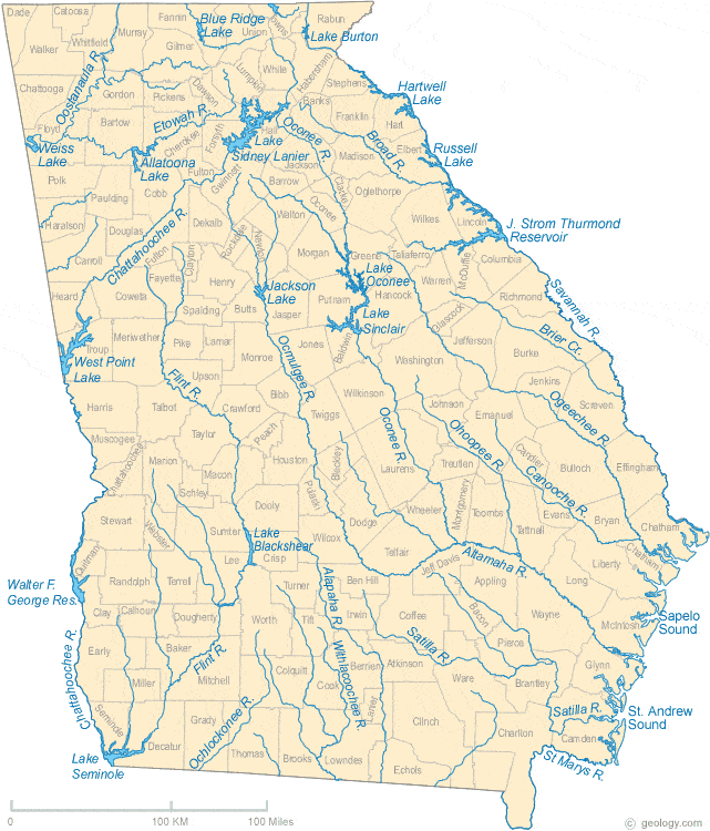
Georgia state law requires protection for perennial river corridors
and
the major rivers in the WWALS watersheds qualify as perennial rivers.
What are the rules?
Apparently to be a “Qualified Local Government” a comprehensive plan
including River Corridor Protection Plans with
protection for a natural vegetative buffer area
bordering each protected river is required.
So
Georgia state law requires protection for perennial river corridors
and
the major rivers in the WWALS watersheds qualify as perennial rivers.
What are the rules?
Apparently to be a “Qualified Local Government” a comprehensive plan
including River Corridor Protection Plans with
protection for a natural vegetative buffer area
bordering each protected river is required.
Continue reading
(1)(b) The Comprehensive Georgia Planning Act of 1989 provides for the development of coordinated and comprehensive planning by municipal and county governments. Such comprehensive plans shall consider the natural resources, environments, and vital areas within the jurisdiction of the local government. Maintenance of the status as a “Qualified Local Government” is contingent upon the development of such comprehensive plans (O.C.G.A. 50-8-1 et seq.).
What does “perennial” mean in Georgia Mountain and River Corridor Protection Act, O.C.G.A. 12-2-8 (2010)?
According to Merriam-Webster:
Definition of PERENNIAL
1: present at all seasons of the year
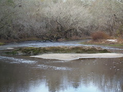 For example, does the Alapaha River at Hotchkiss Landing
often (if ever) go dry?
No, there is pretty much always water there.
For example, does the Alapaha River at Hotchkiss Landing
often (if ever) go dry?
No, there is pretty much always water there.
That Georgia state law, O.C.G.A. 12-2-8 (2010), has a more specific definition:
Continue readingGeorgia state law requires local governments to protect a natural vegetative buffer 100 feet on each side of the stream banks of every perennial river corridor. The wording is “shall” as in “shall be protected”.
Continue readingGeorgia Mountain and River Corridor Protection Act, O.C.G.A. 12-2-8 (2010)
12-2-8. Promulgation of minimum standards and procedures for protection of natural resources, environment, and vital areas of state; stream and reservoir buffers
(g) The department shall, by January 1, 1992, promulgate the minimum standards and procedures for protection of river corridors referred to in subsection (b) of this Code section including, but not limited to, regulated activities within river corridor areas. In promulgating such standards, the department may classify river corridor areas and activities by type, size, and other factors relevant to the advancement of the policies and purposes of this Code section. Such standards shall include, but are not limited to, the following:
(1) Perennial river corridors shall be protected by the following criteria:
FAMU PR 9 February 2013 on WCTV.com, FAMU Teams Up to Promote Sustainable Food Support Systems,
TALLAHASSEE, FL- Florida A&M University’s (FAMU) Statewide Small
 Farm Program, Food & Water Watch (FWW) and the Crescent Moon Organic
Farm will host a food workshop titled “Building Sustainable
Food Support Systems.” The workshop is scheduled for Sunday,
Feb. 10 from 2 p.m. to 5 p.m. at Crescent Moon Organic Farm in
Sopchoppy.
Farm Program, Food & Water Watch (FWW) and the Crescent Moon Organic
Farm will host a food workshop titled “Building Sustainable
Food Support Systems.” The workshop is scheduled for Sunday,
Feb. 10 from 2 p.m. to 5 p.m. at Crescent Moon Organic Farm in
Sopchoppy.
The featured speaker will be Continue reading
Why was a public road, Old State Road, blocked by concrete blocks from late 2010 through at least early 2012, right at Hotchkiss Landing on the Alapaha River in Lowndes County, Georgia?
According to two witnesses, this is what Old State Road at Hotchkiss Landing looked like shortly after the Lowndes County Commission decision of 26 October 2010 to keep the road open:
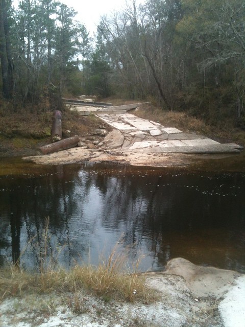
Picture by Cactus Clyde on flickr, who wrote:
“Alapaha River a mile upstream pf the US84 bridge (on the Hotchkiss Road) east of Naylor, GA- river level 77.96′ at Statenville, GA on 12/11/11. No acces on the west side any longer- this was taken looking west.”
April Huntley says “It happened right after the decision to not close the road.” Chris Graham says this was “Few days after we won.” According to the date on that picture, the road was still blocked 11 December 2011.
Google Earth shows that same blockage for 14 January 2012 in imagery taken by NASA, and that’s also what the current google map shows:
Continue reading
 In 2009 Bret Wagenhorst of Tifton organized a canoe trip on the Alapaha River.
He says:
In 2009 Bret Wagenhorst of Tifton organized a canoe trip on the Alapaha River.
He says:
I believe we had nearly 15 people on that trip. The put in was at Burnt Church, just above the Boy Scout camp outsideof Lakeland. The take out was the state road that is being proposed to be closed due to lack of use. The photos are in an album on my Facebook page. I believe it is titled “Alapaha River Trip”. The last photo of the album shows lots of people at the take out— the state road access that “is hardly ever used”! Feel free to copy any of the photos you like.
Since his facebook album requires facebook login to view, I’ve copied it to a flickr set. That last picture sure does look like Hotchkiss Landing:
Continue readingScouting for a potential WWALS outing (since scheduled for 16 February 2013, two WWALS board members and three local residents went to look at Hotchkiss Landing on Old State Road at the Alapaha River in Lowndes County. Here are a few pictures; we also have videos, some of which will follow.
Looking west (upstream):
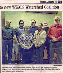
The Tifton Gazette carried the WWALS press release on Page 8A, Tuesday, January 15, 1013: