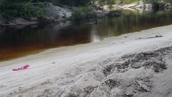
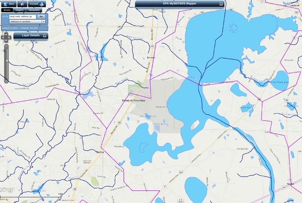
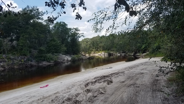
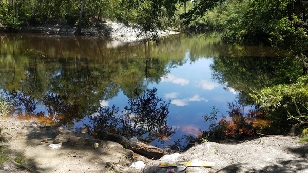
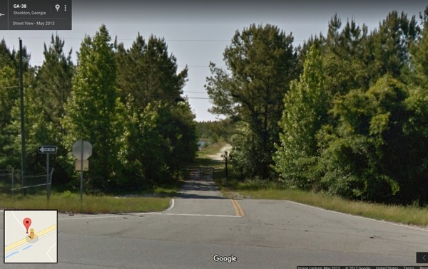
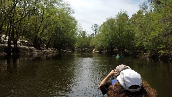
Nobody seems to know the bridge just east of Lakeland has a name: Captain Henry Will Jones Bridge. Just below it is Lakeland Boat Ramp on the Alapaha River Water Trail (ARWT). We’ll be going by there in a few months on the Alapaha Quest.
Scott Thompson, Pieces of Our Past, November 30, 2015, CAPTAIN HENRY WILL JONES,
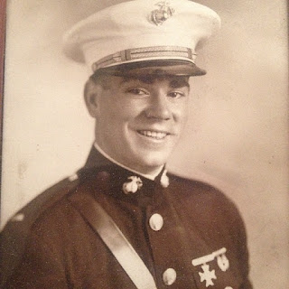
Henry Will Jones was born about 1917 in what became Lanier County just as our country was entering World War I. After Continue reading