Tag Archives: Little River

Flooding study presentations by Army Corps in Valdosta 6 May 2014

Received today. -jsq

Good afternoon Mr. Quarterman,

As requested, the date for the U.S. Army Corps of Engineers (USACE) presentation will be on May 6th to Mayor/Council at the work session which begins at 5:30 pm. The City will also have a meeting with the residents and businesses in the USACE project / study area that same night at 6:30 pm at the City Hall Annex – Multipurpose Room.

Continue reading

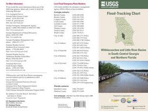
USGS Flood-Tracking Chart for Withlacoochee and Little River Basins

An interesting flyer pointed out by Emily Davenport, Storm Water Utilities Director, City of Valdosta. It has many useful contacts on the front, and tips on the back (don’t walk or drive through flood waters) but the most useful part is inside, where the flood-tracking chart is, in Flood-tracking chart for the Withlacoochee and Little River Basins in south-central Georgia and northern Florida, 2014, by Gotvald, Anthony J.; McCallum, Brian E.; Painter, Jaime A., USGS General Information Product: 155.

Here are the gages mentioned in the chart, with links to the live USGS FloodTracking pages, Continue reading

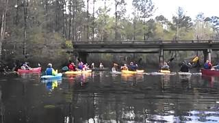
2nd annual BIG Little River Paddle Event is postponed.

The ranger at Reed Bingham has elected to postpone the paddle event due to unsafe water levels on the Little River in the park and no significant drop in water levels today. I think this is the right thing to do. We want a safe, fun event. The event will be moved to Saturday, March 29 at same times. Anyone who pre-registered for the event who does not wish to come on the 29th will be given a refund. Feel free to call me with any questions or concerns. Bret

How Many Trees Does It Take to Protect a Stream?

Stroud Water Center wrote in their Upstream Newsletter, VOL. 2014, ISSUE 1, February 2014,

Scientists Set Buffer Width Minimum Standard.

A strip of forest along a stream channel, also called a riparian forest buffer, has been proposed and used for decades as a best management practice to protect streams by filtering out contaminants from agriculture and other land uses before they can enter them.Their benefits are many, but one benefit has dominated social and political conversations, and that is their role in preventing contaminants from entering streams.

20140317-140845.jpg
Stroud Center Director Bern Sweeney practicing what he preaches at a tree planting event. Photo: David Arscott

A few years ago, Stroud Water Research Center proposed that riparian forest buffers also play another important role by Continue reading

Georgia Outdoor Map

Interesting interactive map by Georgia Department of Natural Resources, Georgia Outdoor Map. Their PR of 14 March 2014, DNR Launches Interactive Map of Recreational Lands,

The Georgia Department of Natural Resources (DNR) today unveiled an interactive map that identifies DNR-managed lands and outdoor recreation opportunities. The “Georgia Outdoor Map” includes state parks, wildlife management areas, public fishing areas, boat ramps, and historic sites. Users are able to search by category to find locations where they can camp, hunt, hike, fish or explore history.

Continue reading

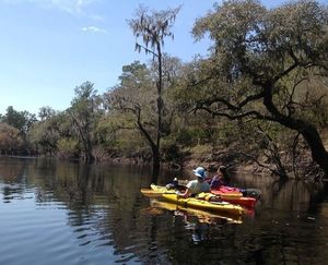
Still time to register for BIG Little River Paddle Event

WWALS Outings Chair Bret Wagenhorst says:

Don’t forget, there is a great opportunity to enjoy the scenic beauty of one of our south GA blackwater rivers and help raise money for WWALS and Friends of Reed Bingham this coming Saturday, March 22 at The second annual BIG Little River Paddle Event. There is still time to register on line.